Helmet Falls Trail to Ochre Junction
View Photos
Helmet Falls Trail to Ochre Junction
Difficulty Rating:
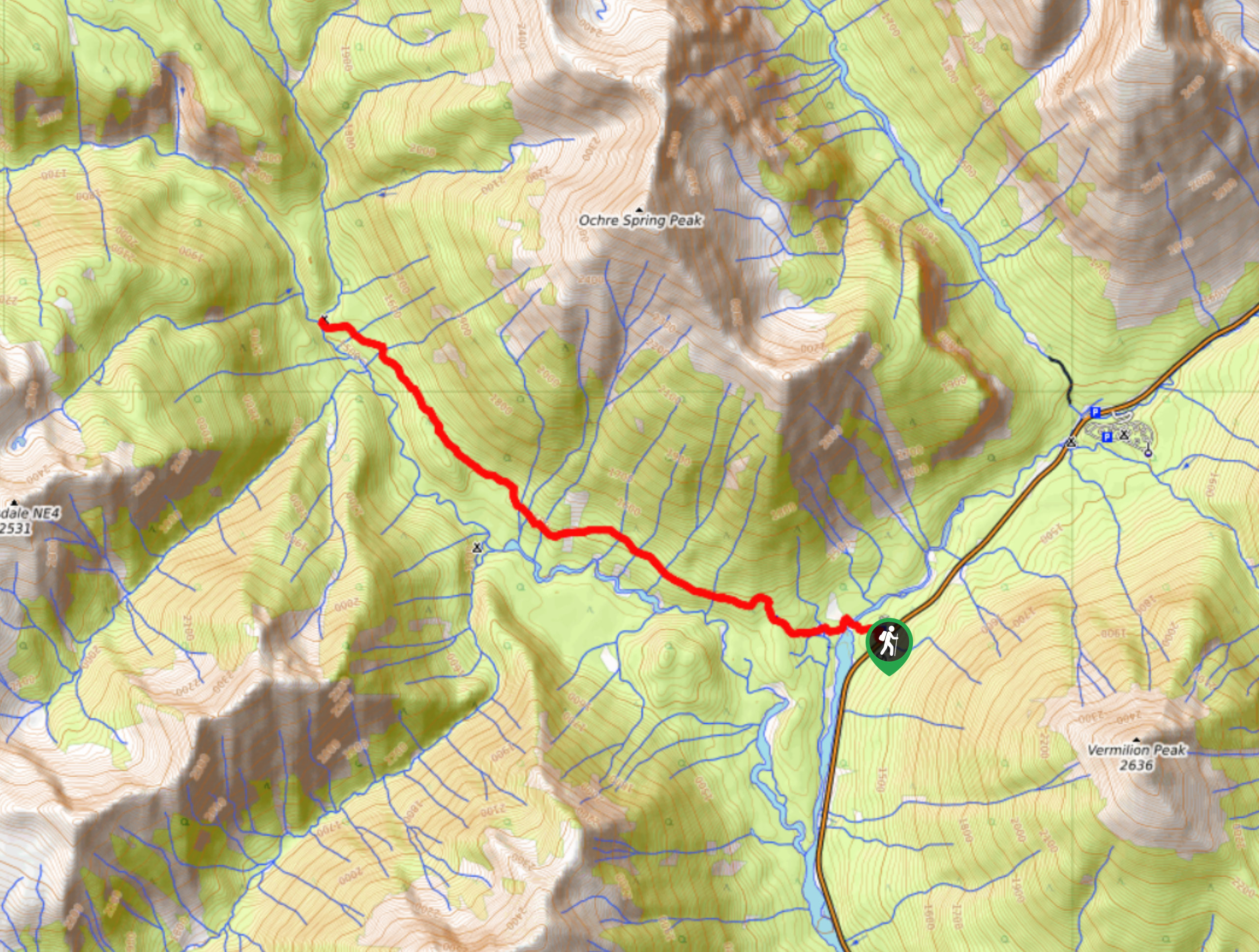
The Helmet Falls Trail to Ochre Junction is a 7.6mi hike that will lead you through the forests along Ochre Creek to reach the Ochre Junction Campground. While the trail doesn’t take you all the way to Helmet Falls, it covers the initial stretch of the journey, providing a great spot to camp overnight before making the rest of the journey. While out on the trail, you will experience a peaceful forest setting, river crossings, and views of the surrounding mountains.
Getting there
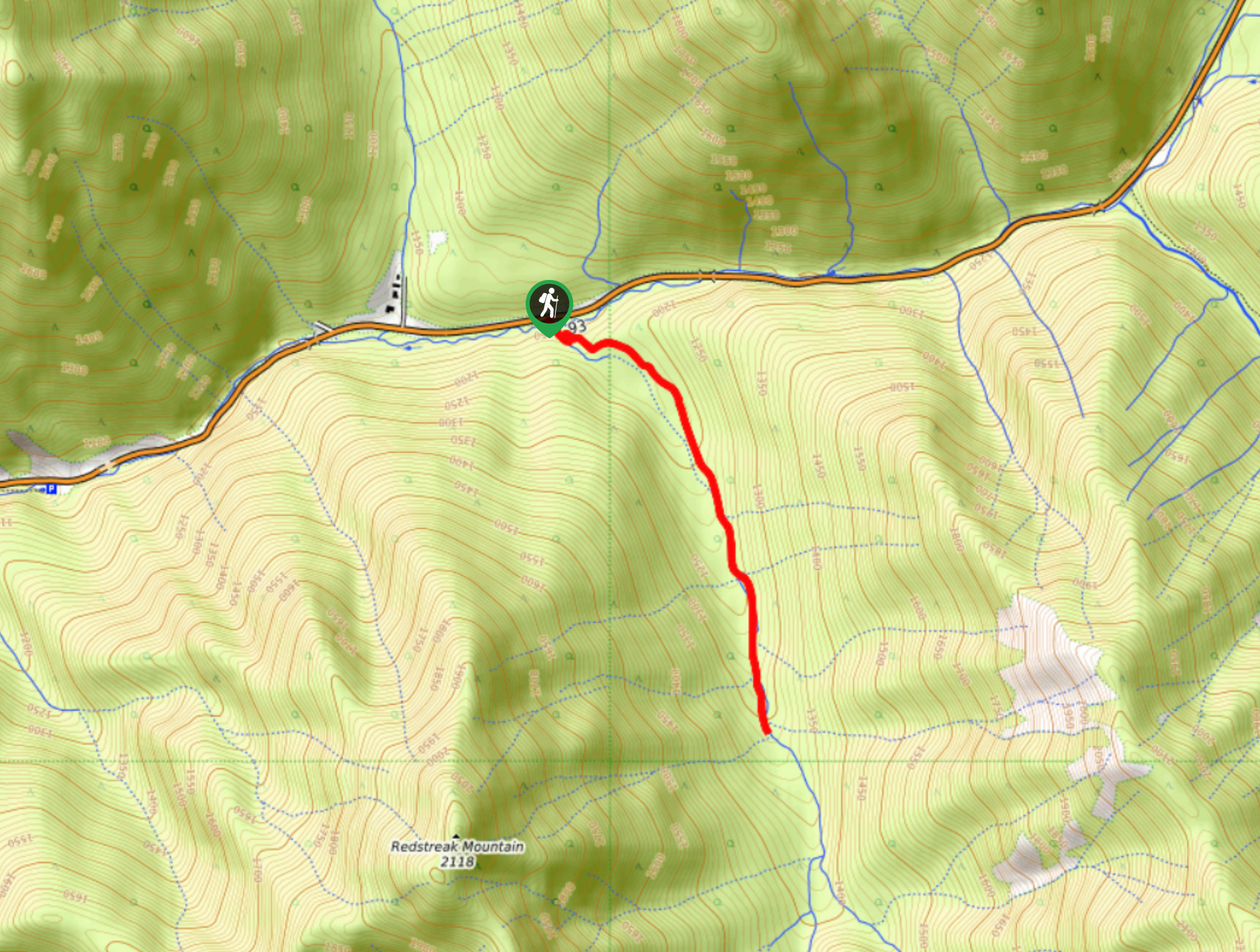
To reach the parking lot for the Helmet Falls Trail to Ochre Junction from Radium Hot Springs, drive to the northeast on BC-93 for 52.3mi and turn left.

About
| When to do | May-October |
| Backcountry Campsites | Ochre Junction Camp |
| Pets allowed | Yes - On Leash |
| Family friendly | Older Children only |
| Route Signage | Average |
| Crowd Levels | Moderate |
| Route Type | Out and back |
Helmet Falls Trail to Ochre Junction
Elevation Graph
Weather
Helmet Falls Trail to Ochre Junction Trail Description
Although it isn’t the full journey to Helmet Falls, the Helmet Falls trail to Ochre Junction Campground is a great adventure that will see you cross rushing rivers and take in some pretty amazing views of the valley and surrounding mountains. The trail sets out from the car park and crosses over the silty waters of the Vermillion River to the west, eventually bringing you to a series of unique pools known as the Paint Pots. From here, you will continue through the forest along the waters of Ochre Creek, enjoying the peaceful atmosphere of the forest and views of the surrounding peaks until you arrive at the Ochre Junction Campground. From here, you can either set up camp or turn back to relive your adventure along the trail.
Similar hikes to the Helmet Falls Trail to Ochre Junction hike
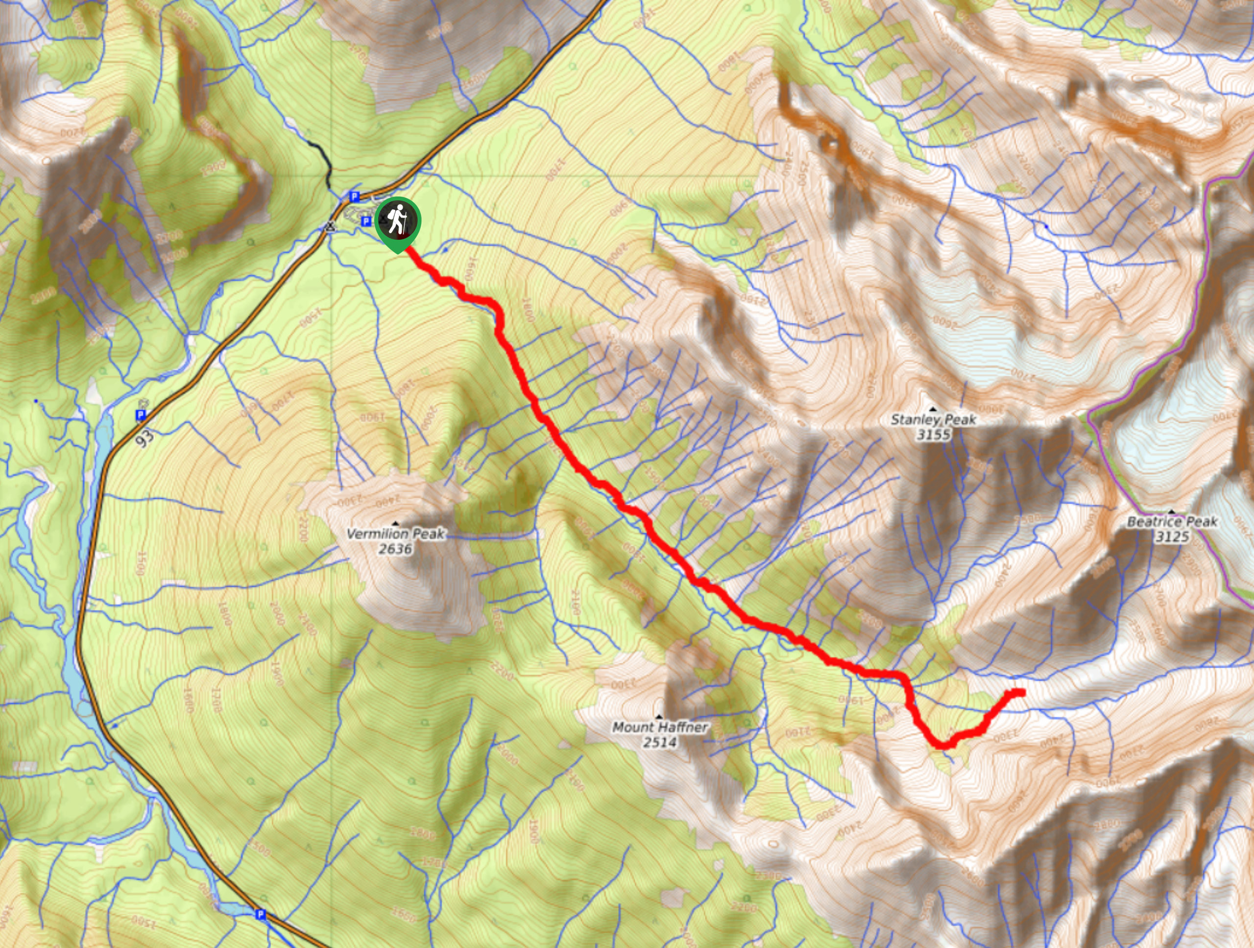
Haffner Creek Trail
The Haffner Creek Trail is a lengthy hiking route that will lead you along a winding creek for some scenic…
Kimpton Creek Trail
The Kimpton Creek Trail would be a nice and easy hike through the forest along a charming creek if it…
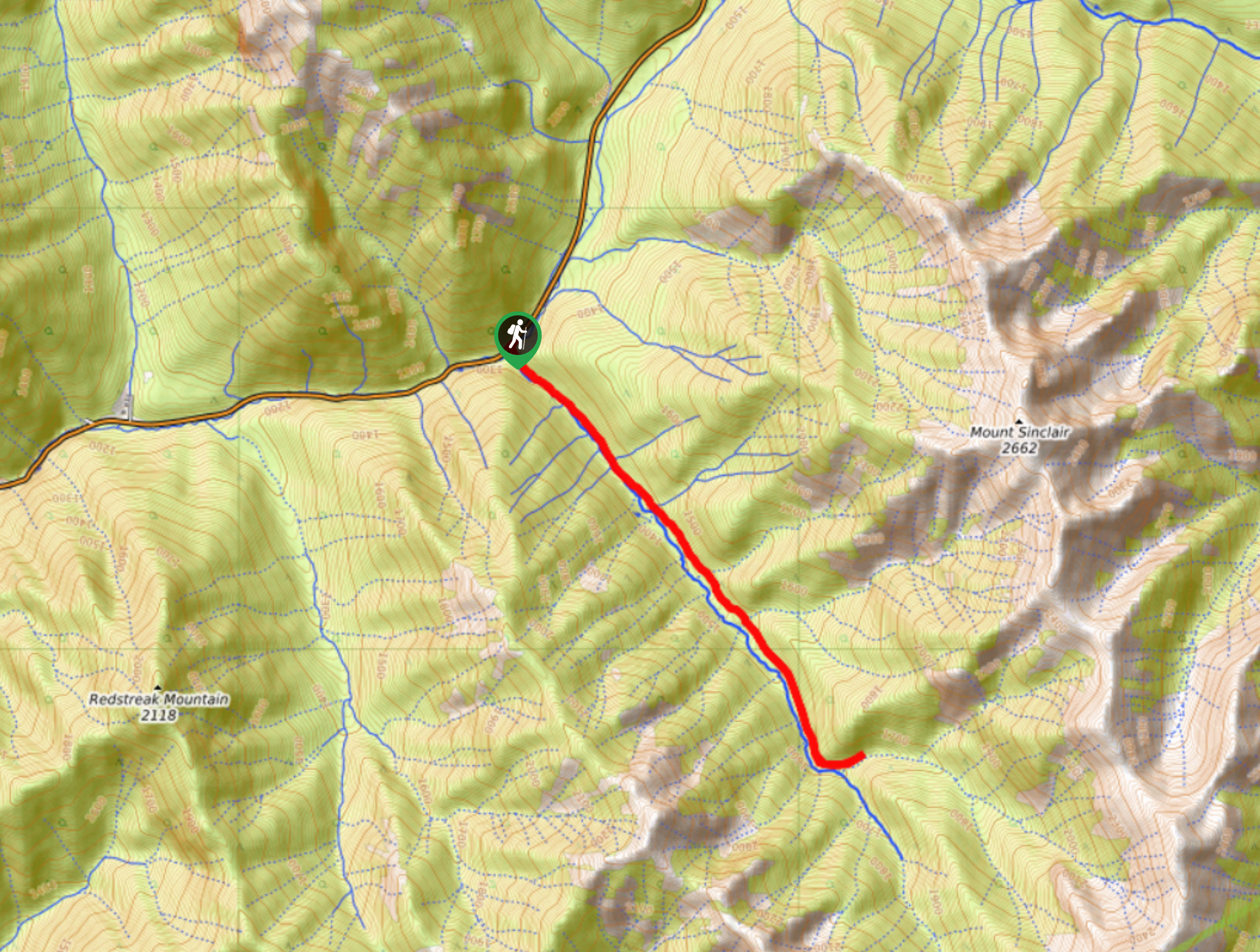
Redstreak Creek Trail
Hiking the Redstreak Creek Trail is a quick and relatively easy hike that features several steep sections of terrain and…
Comments