

McIntyre Bluff Hike
View PhotosMcIntyre Bluff Hike
Difficulty Rating:
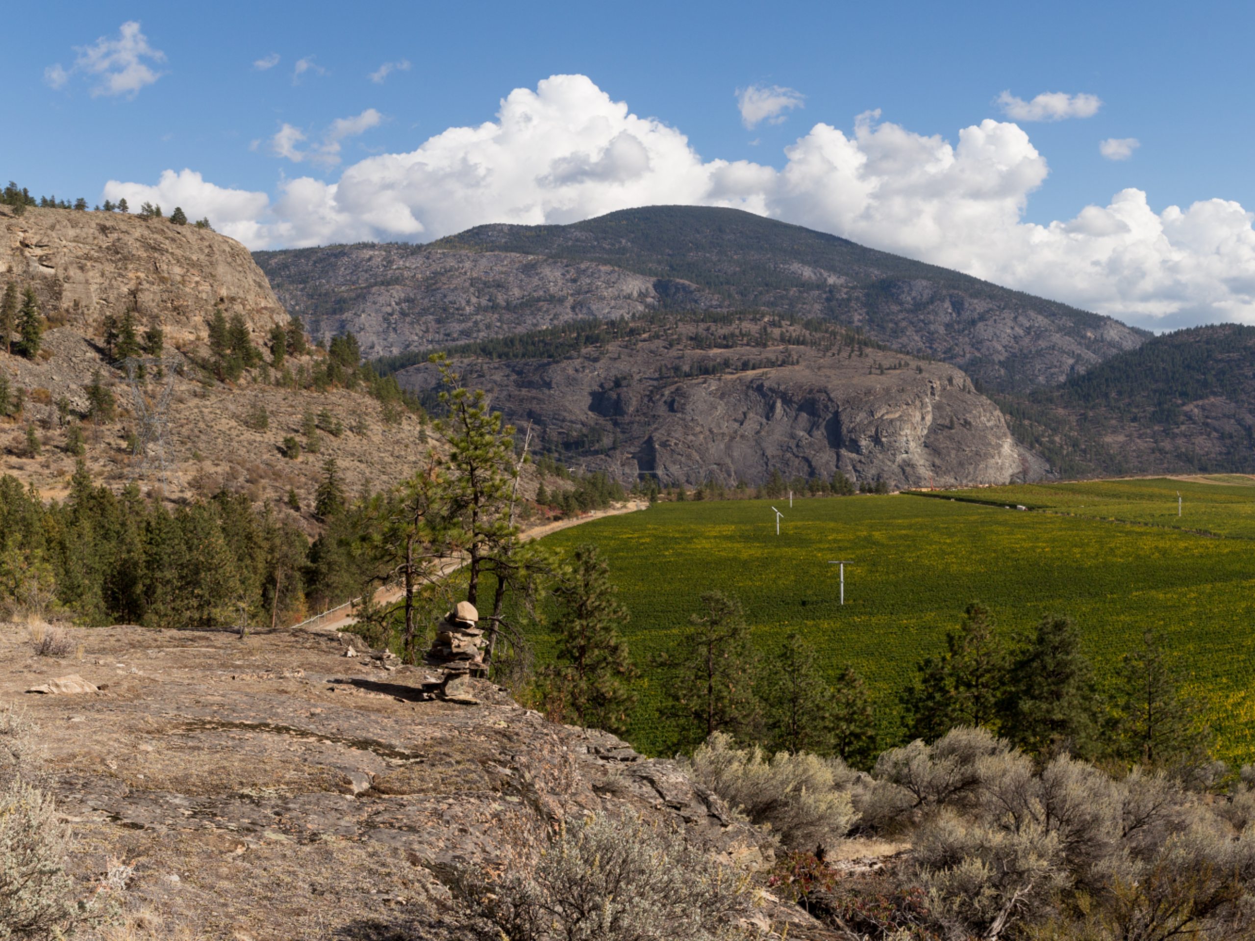
The McIntyre Bluff Hike leads to one of the most revealing views of the Okanagan Valley. From the top, admire the patches of land, varying in colour and shades, and shimmering lakes nestled in an amphitheatre of rolling hills. Currently, the trailhead at Covert Farms is closed, but you can still do this hike—just prepare for some added kilometres.
Getting there
To get to the start of the McIntyre Bluff Hike, you’ll need to head to McAlpine Bridge, and you’ll spot the parking lot just a little north from here. The McAlpine Bridge is 3.7mi from Oliver! The trailhead starts along the west bank of the Okanagan River.
About
| When to do | April - October |
| Backcountry Campsites | No |
| Pets allowed | Yes - On Leash |
| Family friendly | Older Children only |
| Route Signage | Average |
| Crowd Levels | Moderate |
| Route Type | Lollipop |
McIntyre Bluff Hike
Elevation Graph
Weather
McIntyre Bluff Hike Description
The McIntyre Bluff Hike near Oliver, BC, is an incredibly scenic half-day hike that takes you to the Okanagan Valley’s unreal views. Nothing beats the lush scenery, varying in shades, hugged by soaring hills and etched with glimmering lakes. Most people usually start this hike from Covert Farms, which also cuts the overall walking distance, but that area is currently closed off. However, the 11.2mi version of this hike will keep you outside and basking in nature for longer than expected—and there’s nothing wrong with that! The views at the top will reward, and the non-technical path will give you a chance to focus on conversations with friends or to relish in the scenery.
Similar hikes to the McIntyre Bluff Hike hike

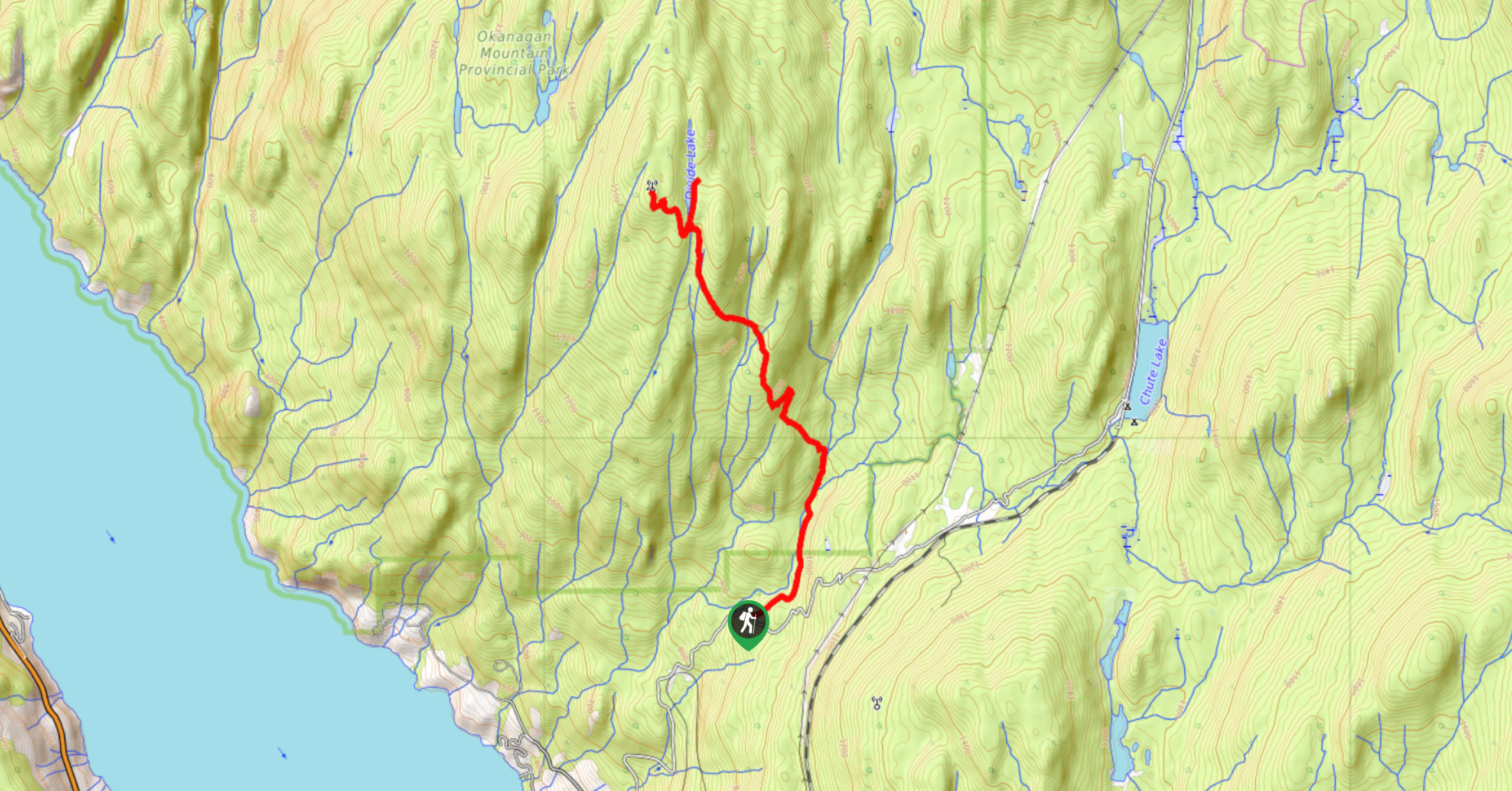
Okanagan Mountain Hike
The Okanagan Mountain Hike is an incredible backcountry hike that gets your heart pumping, unveiling a reel of views en…

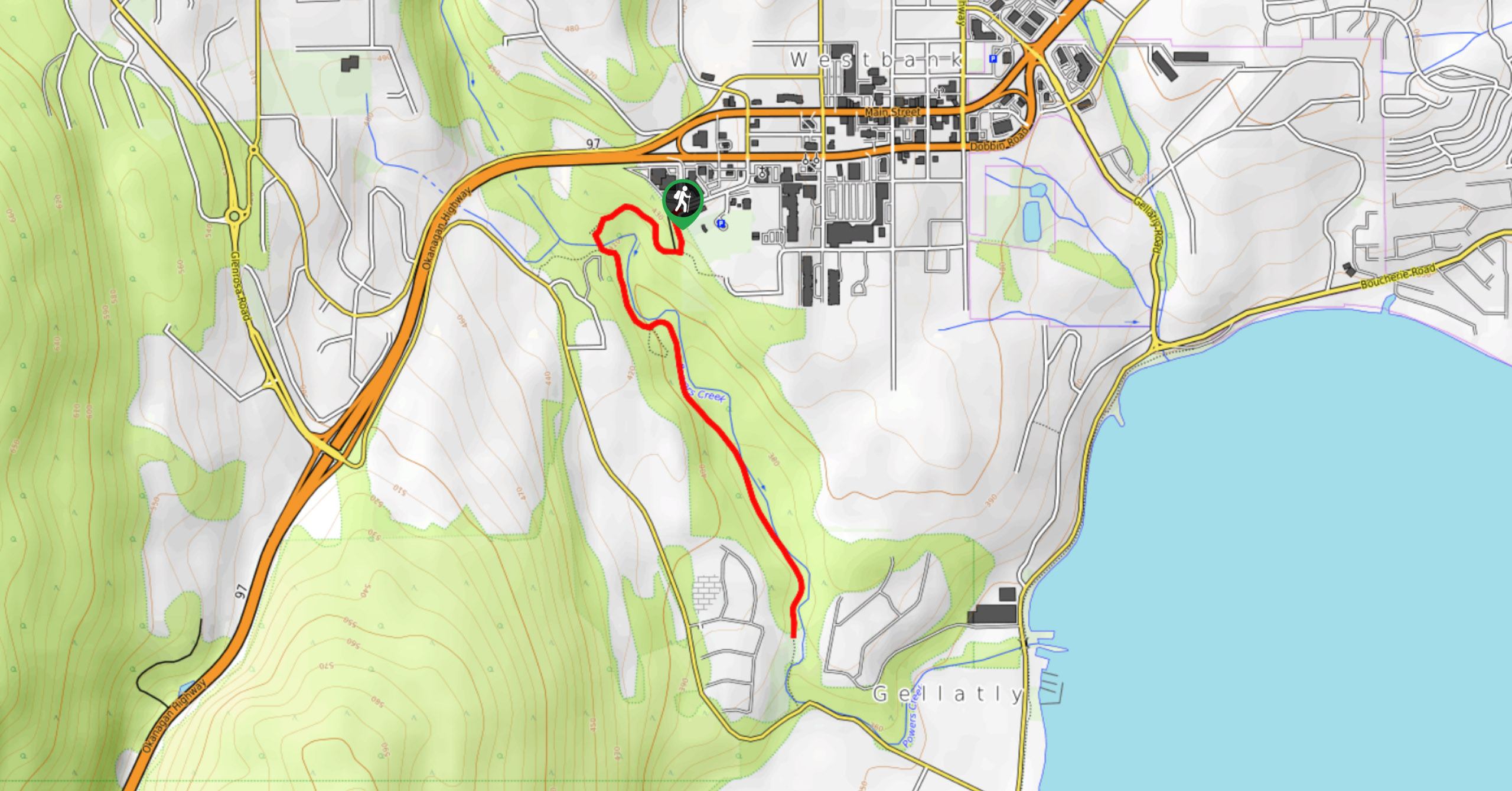
Glen Canyon Greenway Trail
The Glen Canyon Greenway Trail, located in West Kelowna, is a family-friendly hike that blends flat, easy-going terrain with more…

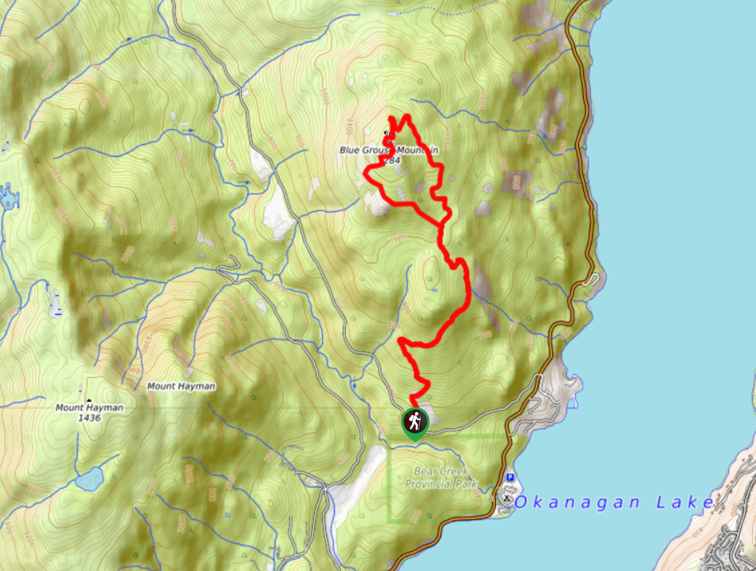
Blue Grouse Mountain Hike
The Blue Grouse Mountain Hike near Kelowna, BC, is a challenging hike that carries you up a steep ascent to…


Comments