

Giant’s Head Hike
View PhotosGiant’s Head Hike
Difficulty Rating:
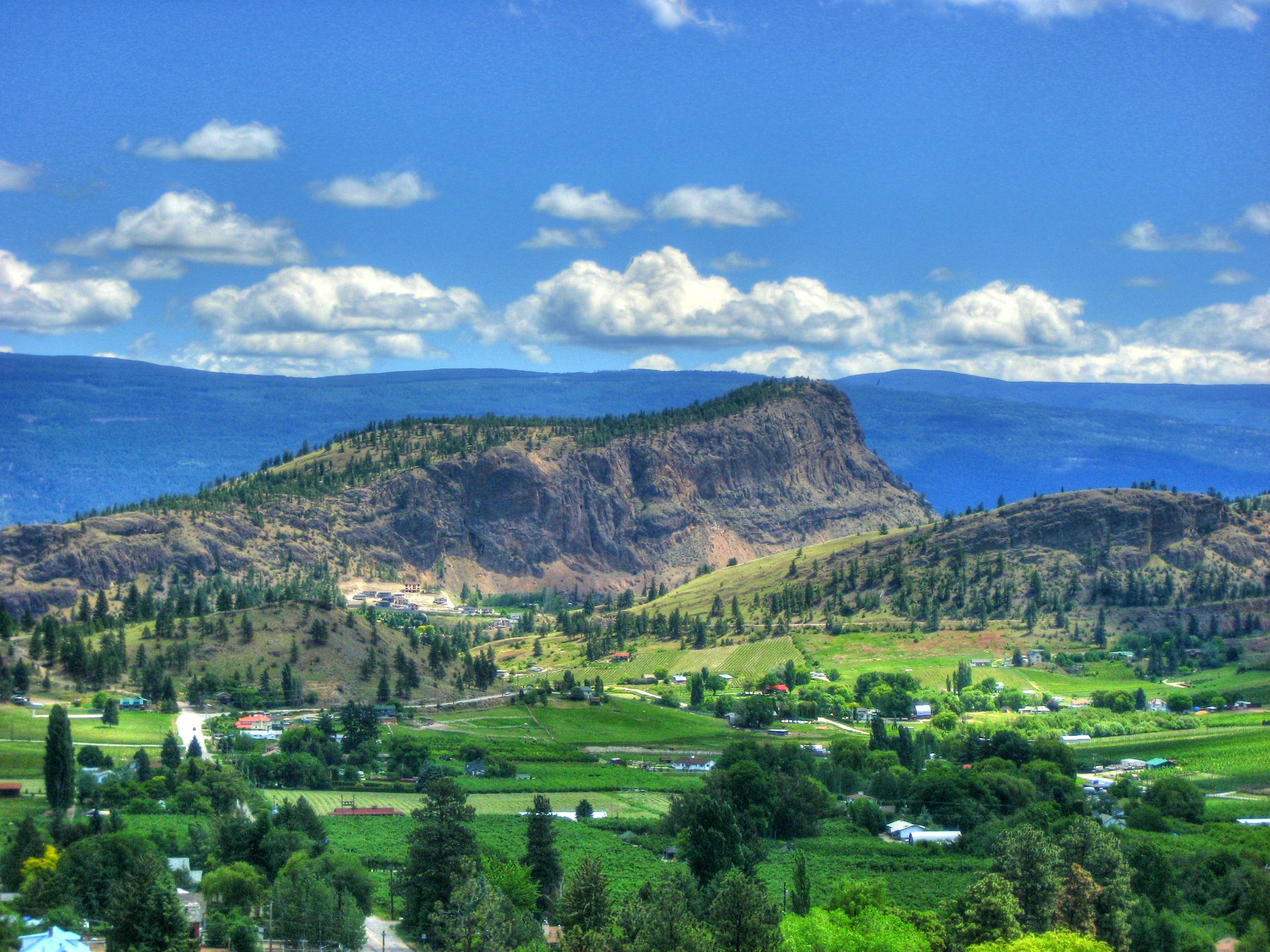
Looking for the ultimate family-friendly hike in Summerland, BC? You’re in luck! The Giant’s Head Hike is tailor-made for all skills levels. To top it off, it snakes to unreal views of Okanagan Lake tucked into the lush, rolling valley sprawled below. You can find more trails laced throughout the area leading to Giant’s Head, making it possible to amp up your heart rate if you’re in the mood for more exercise and intensity!
Getting there
To get to Giant’s Head Hike from Summerland, head to Giants Head Road and drive for around 1.2mi before parking. Park at the bottom of the hill if you want to tackle a more intense hike or continue driving up Giant’s Head Road until you reach the top parking lot.
About
| When to do | May - October |
| Backcountry Campsites | No |
| Pets allowed | Yes - On Leash |
| Family friendly | Yes |
| Route Signage | Good |
| Crowd Levels | Moderate |
| Route Type | Out and back |
Giant’s Head Hike
Elevation Graph
Weather
Giant’s Head Hike Description
The Giant’s Head Hike in the Okanagan Valley is a lovely walk for all ages! You’ll find a network of trails laced throughout the area, all leading to Giant’s Head. For example, several people opt to park at the bottom of the hill and follow The Grind trail or the Friendly Giant Trail or veer off on the Upper Loop Trail.
However, this route guide takes you from the top parking lot along The Grind trail to the top. You can follow the same path back the way you came after admiring the views at Giant’s Head or follow the East Ridge trail to form a loop. The East Ridge Trail eventually meets up with Giants Head Road, which will take you back to the parking lot.
Similar hikes to the Giant’s Head Hike hike

Glen Canyon Greenway Trail
The Glen Canyon Greenway Trail, located in West Kelowna, is a family-friendly hike that blends flat, easy-going terrain with more…

Myra Bellevue Trail
The Myra Bellevue Trail takes you around a wide loop, granting far-away unveilings of Okanagan Lake nestled at the forefront…

Naramata Creek Falls Hike
The Naramata Creek Falls Hike winds through a thick forested area along a semi-maintained trail that forces you to cross…


Comments