

Okanagan Mountain Hike
View PhotosOkanagan Mountain Hike
Difficulty Rating:
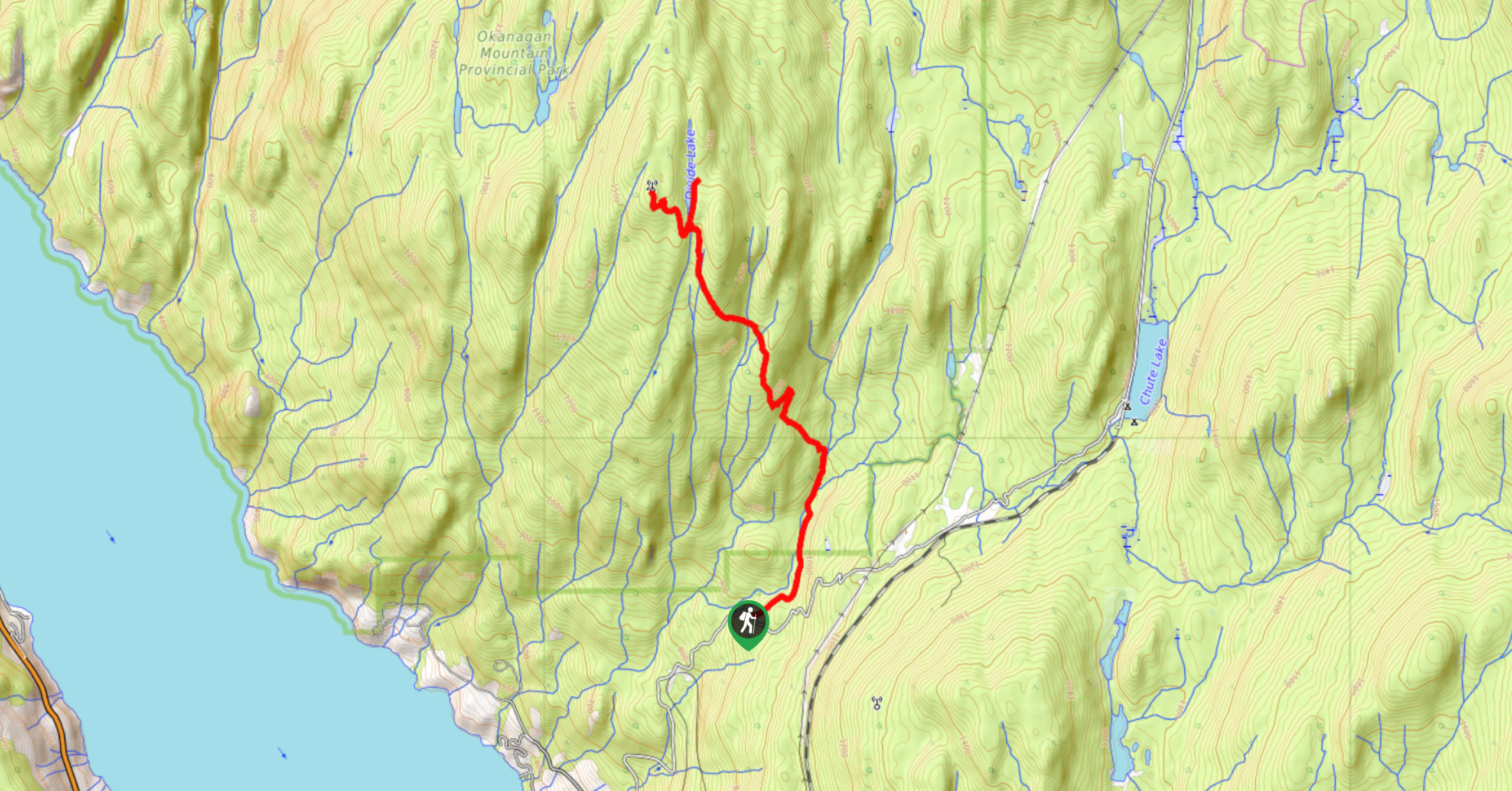
The Okanagan Mountain Hike is an incredible backcountry hike that gets your heart pumping, unveiling a reel of views en route before stopping at Divide Lake, where fire pits and the opportunity to camp await. The trail is accessible year-round but is best to do in the spring, summer, or early autumn months.
Getting there
To get to the trailhead for the Okanagan Mountain Hike from Penticton, BC, head to Naramata Rd and drive until you reach Chute Lake Road. Continue along this road for 2.9mi and until you reach the parking lot. If you’re driving a small vehicle, it’s recommended to plug these coordinates into your phone: 49°40'15.7"N 119°35'35.0"W. It will take you to a grassy area by the sharp turn, park here and walk to the trailhead. You will see the turn for Okanagan Mountain Provincial Park a few hundred metres up. Follow this road until you get to the parking lot.
About
| When to do | April-October |
| Backcountry Campsites | Backcountry drop-in camping at Divide Lake |
| Pets allowed | Yes - On Leash |
| Family friendly | No |
| Route Signage | Average |
| Crowd Levels | Low |
| Route Type | Out and back |
Okanagan Mountain Hike
Elevation Graph
Weather
Okanagan Mountain Hike Description
The Okanagan Mountain Hike is a challenging but incredibly rewarding hike that unveils views of Okanagan Lake while guiding you to Divide Lake, an ideal spot for a backcountry camping adventure. The route may involve some bushwacking, so prepare to check for ticks after. Sometimes it’s difficult to spot where the trail is, so look out for flags and download your GPS before going. This is an out-and-back trail, so after you take a dip in the lake (or just stare at it), you’ll return the way you came.
Similar hikes to the Okanagan Mountain Hike hike

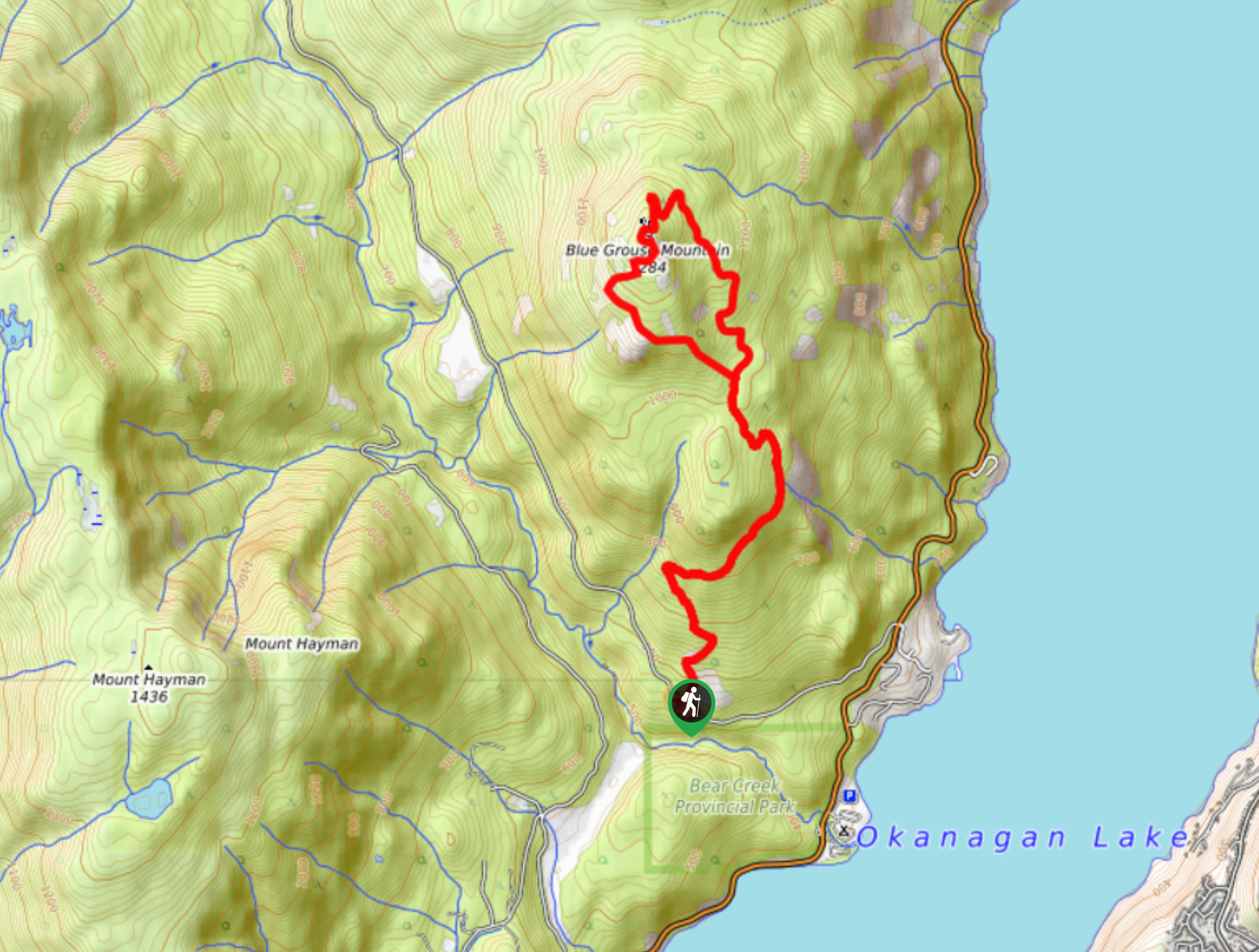
Blue Grouse Mountain Hike
The Blue Grouse Mountain Hike near Kelowna, BC, is a challenging hike that carries you up a steep ascent to…

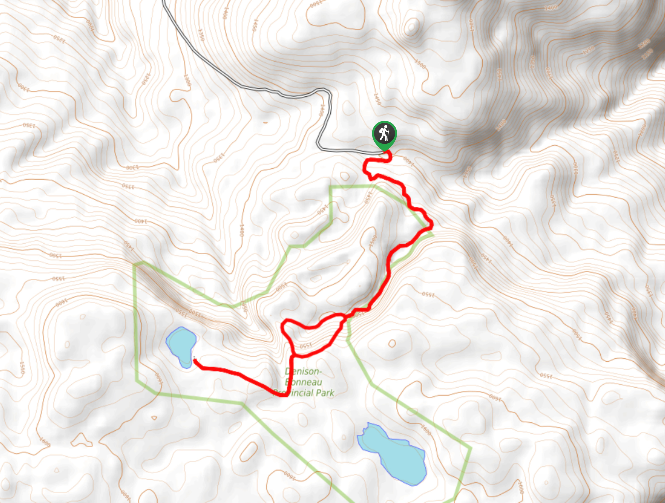
Denison Lake Trail
When summer rolls around, the Okanagan Valley’s scorching hot weather propels most to flock to the beaches, but why not…

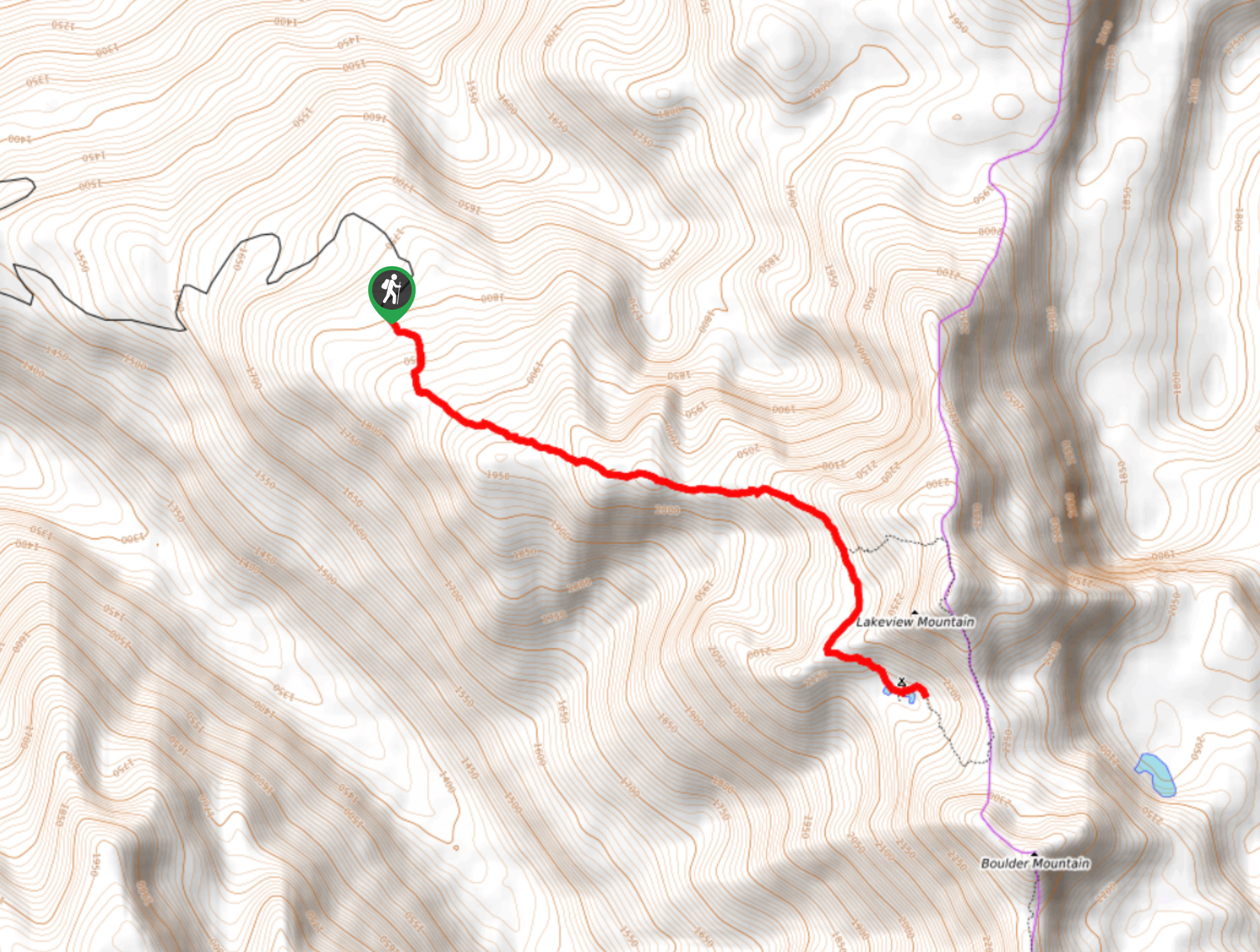
Twin Lakes Hike
The Twin Lakes Hike, carved in the Monashees in the North Okanagan, is a must-do hike if you’re an avid…


Comments