

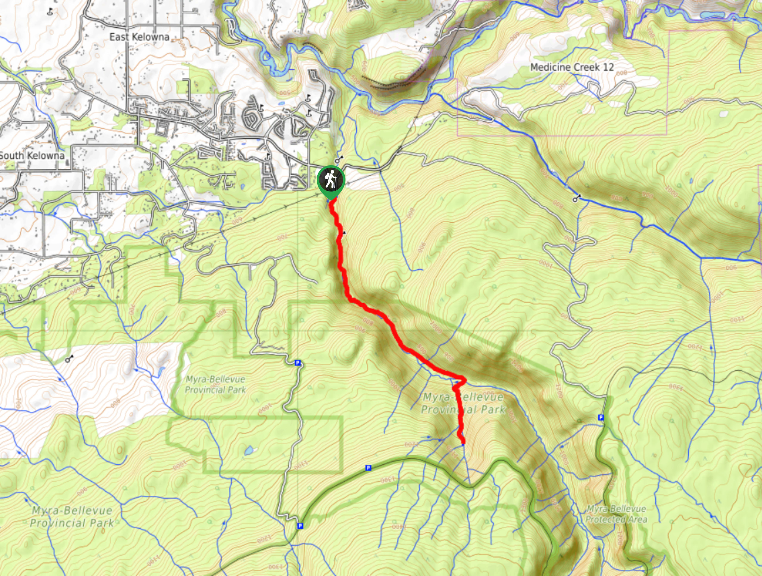
Angels Springs via KLO Creek Hike
View PhotosAngels Springs via KLO Creek Hike
Difficulty Rating:
The Angel Springs via KLO Creek Hike near Kelowna, BC, winds along the creek, offering picturesque forest views, while the creek hums alongside you. Expect the hike to gradually gain in elevation before taking you on a steep incline for the last kilometre, leading to Angel Springs. If you have more energy left in your tank, you can continue past the Springs and the endpoint shown on the GPS.
Getting there
To get to the Angels Springs via KLO Creek Hike from Kelowna, head to K.L.O Road and stay on this road until you reach McCulloch Road. Continue on McCulloch Road for 1.1mi before turning right to stay on the same road. After 3.0mi, your destination will be on your right.
About
| When to do | Year round |
| Backcountry Campsites | No |
| Pets allowed | Yes - On Leash |
| Family friendly | Older Children only |
| Route Signage | Average |
| Crowd Levels | Moderate |
| Route Type | Out and back |
Angels Springs via KLO Creek Hike
Elevation Graph
Weather
Angels Springs via KLO Creek Hike Description
The Angels Springs via KLO Creek Hike located near Kelowna in the lush Okanagan Valley is a moderately trafficked nature walk that gets your heart rate up while immersing you in a thick forested area. This hike includes four creek crossings, making poles a helpful companion!
Expect the first portion of the hike to gradually gain in elevation as you wind alongside the creek’s hum. But the final km leading up to Angel Springs will have you huffing and puffing. Follow the same path back once you’ve caught your breath and are ready to turn around. If you’re travelling with children, you can always turn around before the ascent. Or, if you’re up for it, you can continue past Angel Springs and create your own adventure.
Similar hikes to the Angels Springs via KLO Creek Hike hike
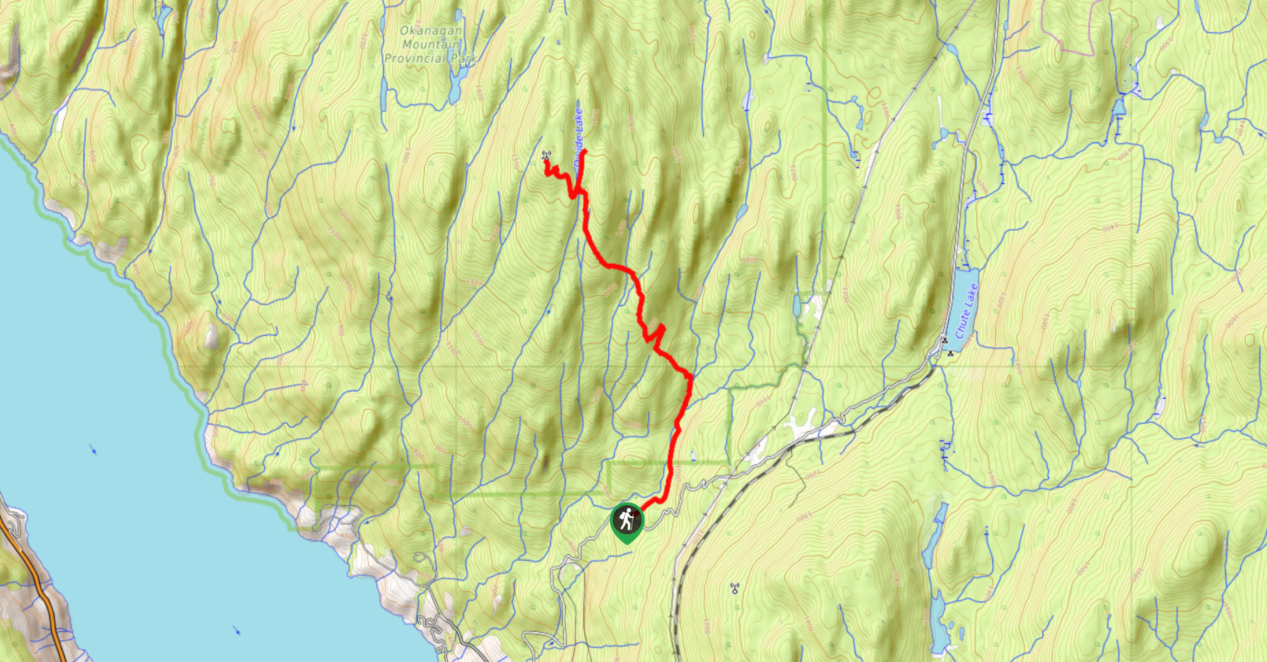
Okanagan Mountain Hike
The Okanagan Mountain Hike is an incredible backcountry hike that gets your heart pumping, unveiling a reel of views en…
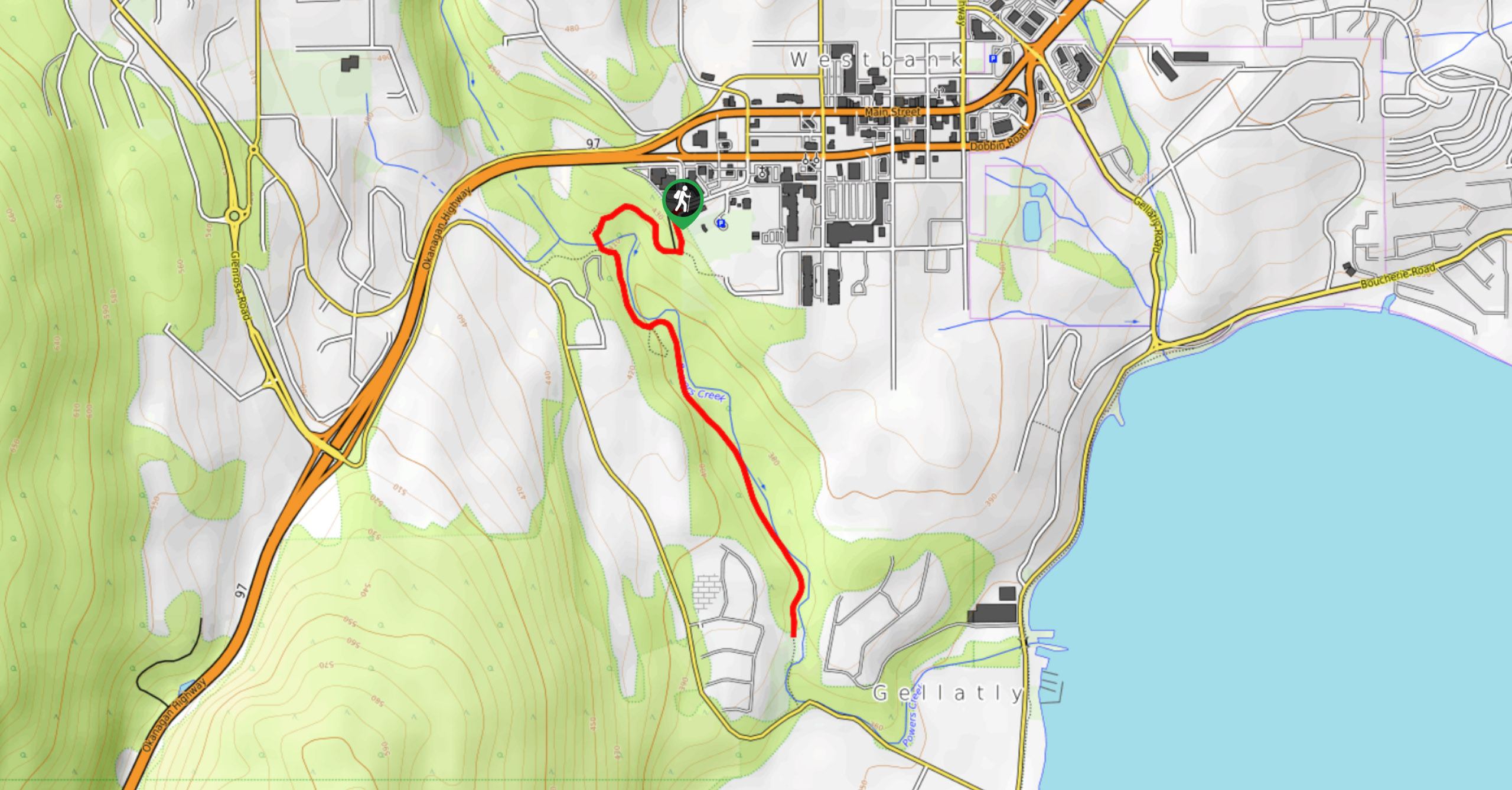
Glen Canyon Greenway Trail
The Glen Canyon Greenway Trail, located in West Kelowna, is a family-friendly hike that blends flat, easy-going terrain with more…
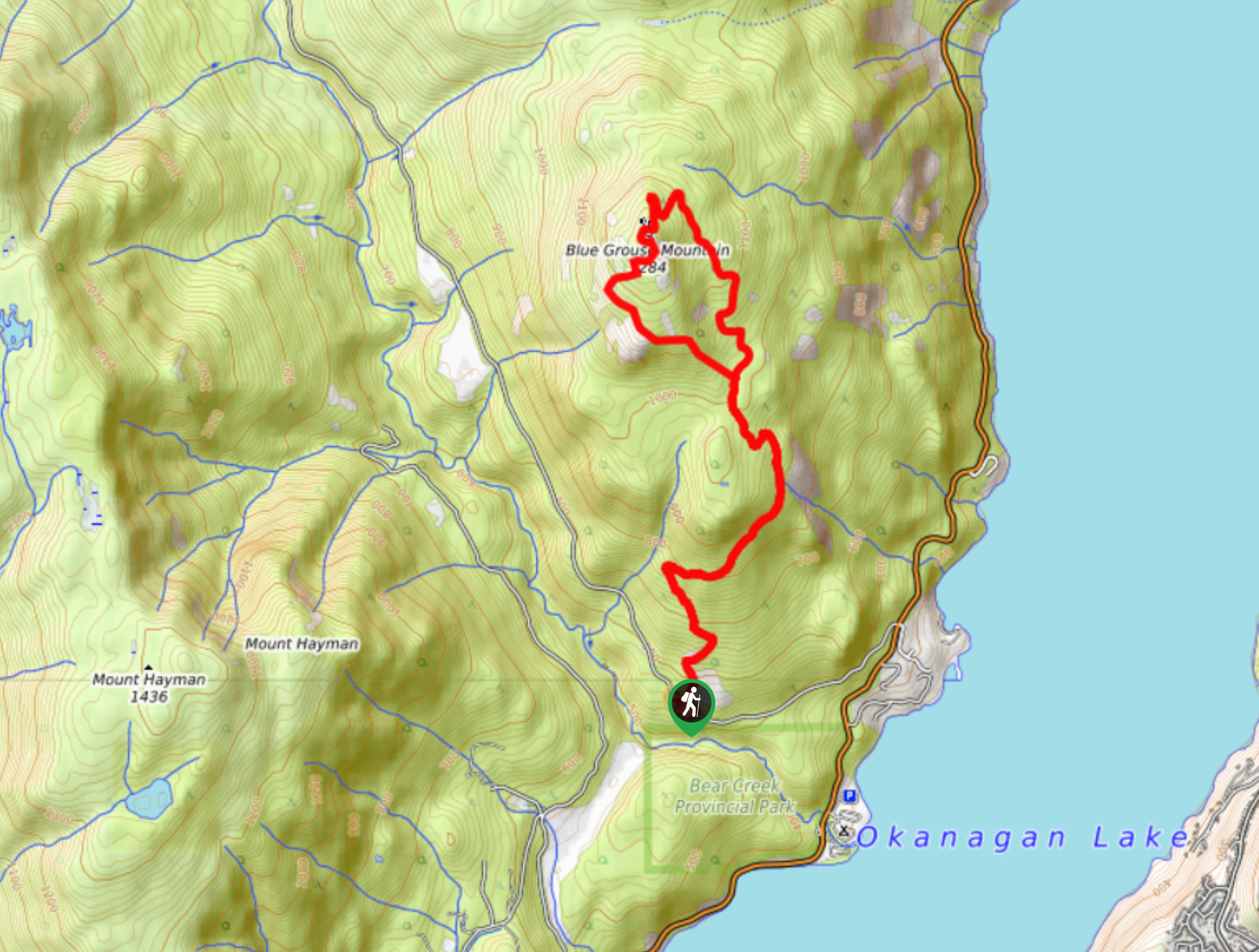
Blue Grouse Mountain Hike
The Blue Grouse Mountain Hike near Kelowna, BC, is a challenging hike that carries you up a steep ascent to…


Comments