

Fintry Falls Hike
View PhotosFintry Falls Hike
Difficulty Rating:
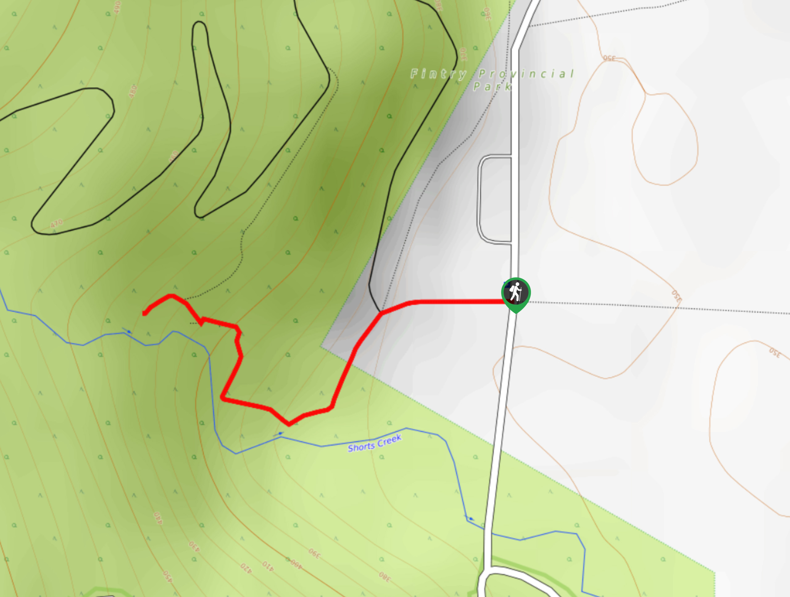
Fintry Falls Hike, located along the back roads between Vernon and Kelowna, BC, in the Okanagan Valley, gives you a quick burst of fresh air amid lovely scenery! This hike has you climbing around 400 steps to a stunning waterfall. Don’t let the steps dismay you from attempting this nature walk, as the elevation isn’t all that bad.
Getting there
To reach Fintry Falls Hike from Kelowna, make your way to BC-97 S before taking the exit for Westside Road. Keep right at the fork and continue along Westside Road for 19.4mi. Take a right turn onto Fintry Delta Road and continue straight for 1.2mi. Your destination will be on the left.
About
| When to do | Reasonable start/end dates for route |
| Backcountry Campsites | No |
| Pets allowed | Yes - On Leash |
| Family friendly | Yes |
| Route Signage | Average |
| Crowd Levels | Moderate |
| Route Type | Out and back |
Fintry Falls Hike
Elevation Graph
Weather
Fintry Falls Hike Description
Fintry Falls Hike in the Okanagan Valley is a lovely family-friendly walk that gives you a burst of fresh air and one of nature’s greatest wonders: a roaring waterfall. Talk about an unbeatable combination! This out-and-back route boasts of around 400 steps, but don’t let the number intimidate you. The not-so-crazy elevation makes the steps manageable. A lot of people flock here from the nearby Fintry campground!
Similar hikes to the Fintry Falls Hike hike
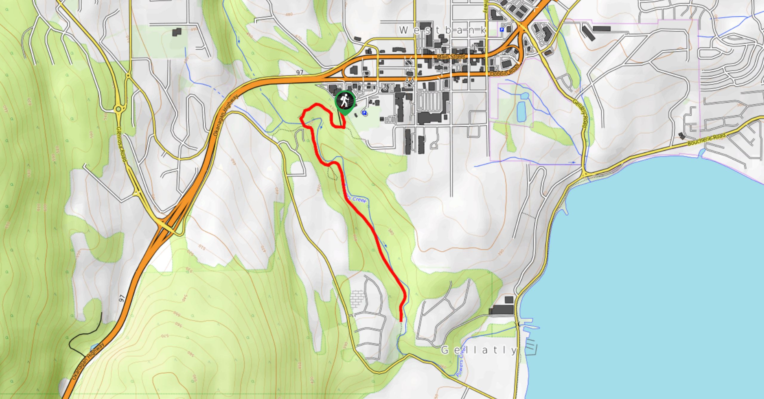
Glen Canyon Greenway Trail
The Glen Canyon Greenway Trail, located in West Kelowna, is a family-friendly hike that blends flat, easy-going terrain with more…
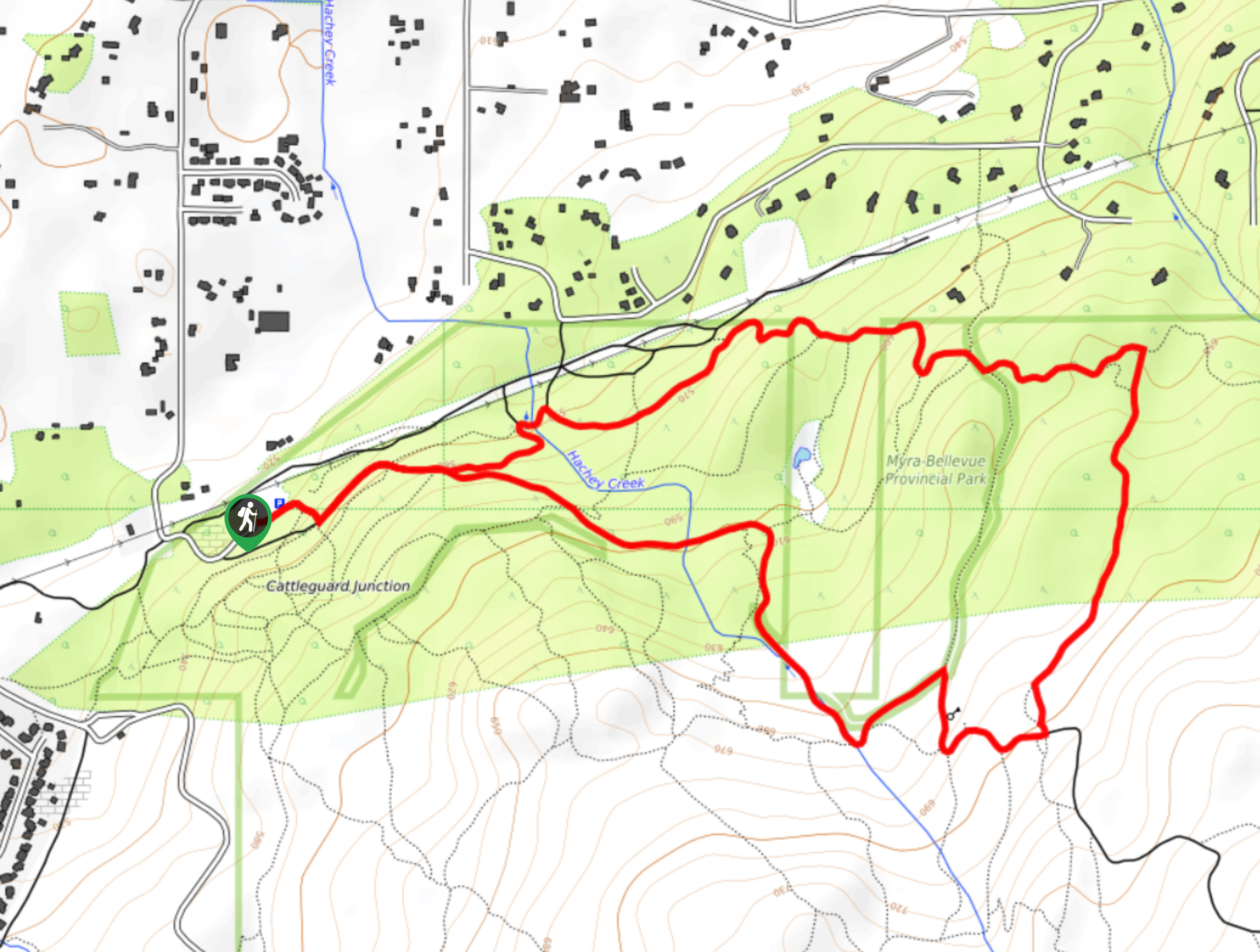
Myra Bellevue Trail
The Myra Bellevue Trail takes you around a wide loop, granting far-away unveilings of Okanagan Lake nestled at the forefront…
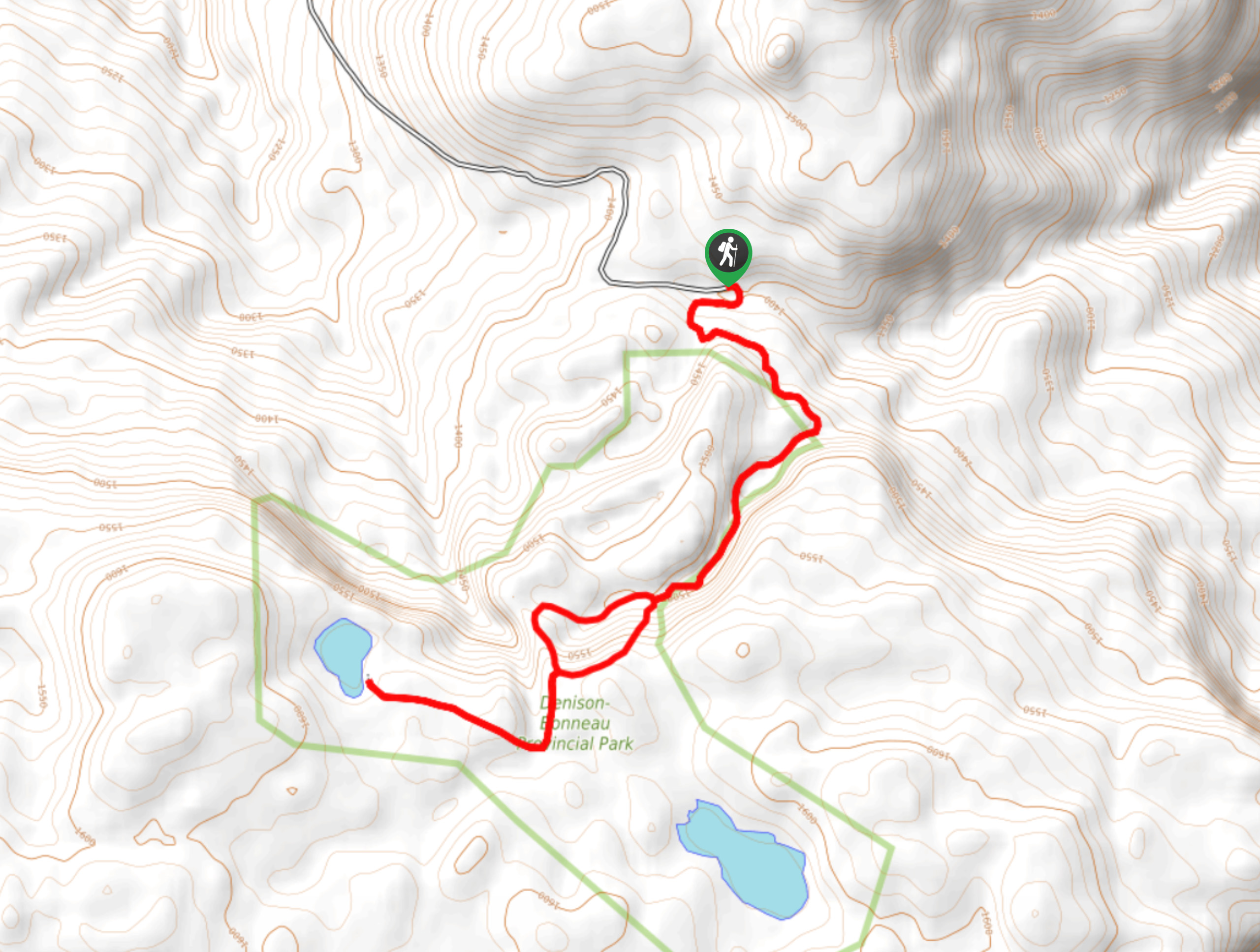
Denison Lake Trail
When summer rolls around, the Okanagan Valley’s scorching hot weather propels most to flock to the beaches, but why not…



Comments