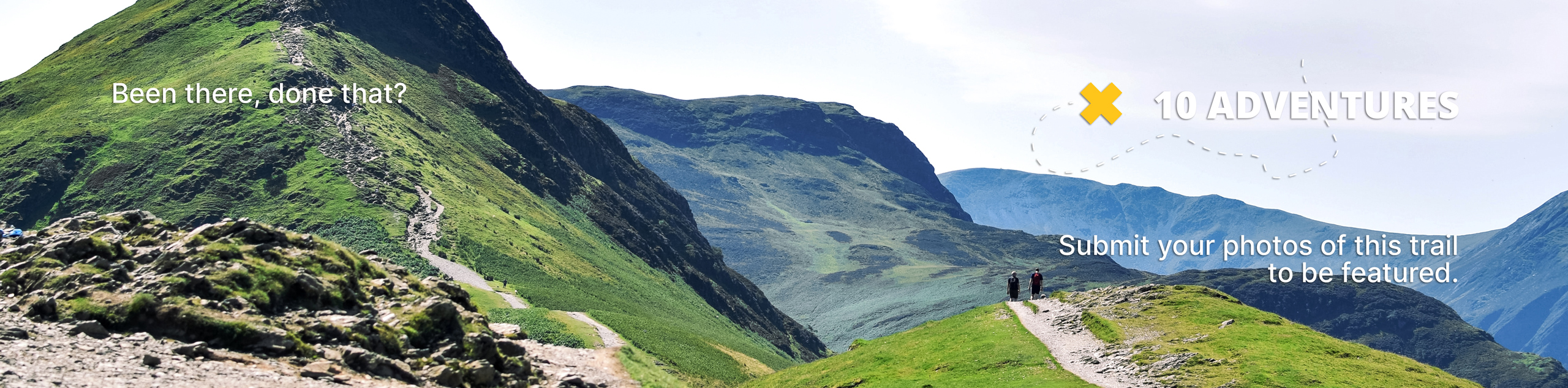
Arrowleaf, Summit, and Tower Trails Loop
View Photos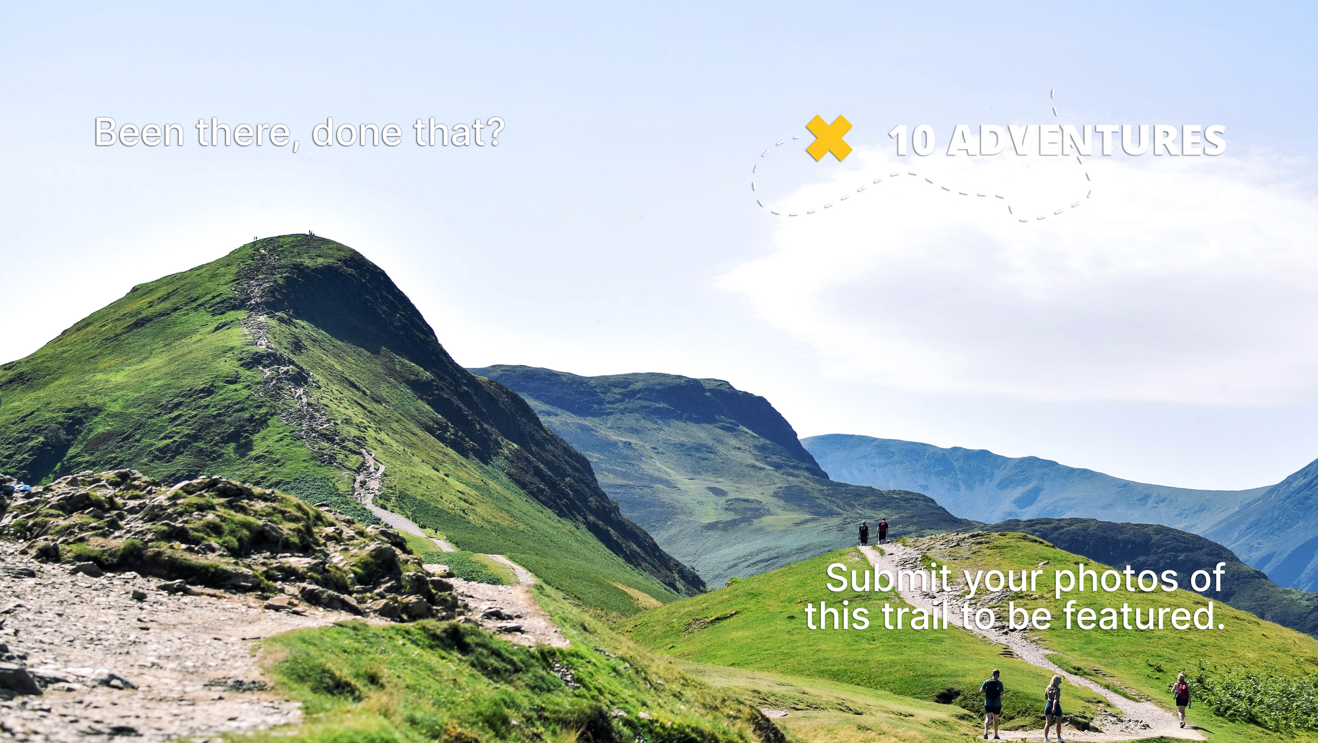
Arrowleaf, Summit, and Tower Trails Loop
Difficulty Rating:
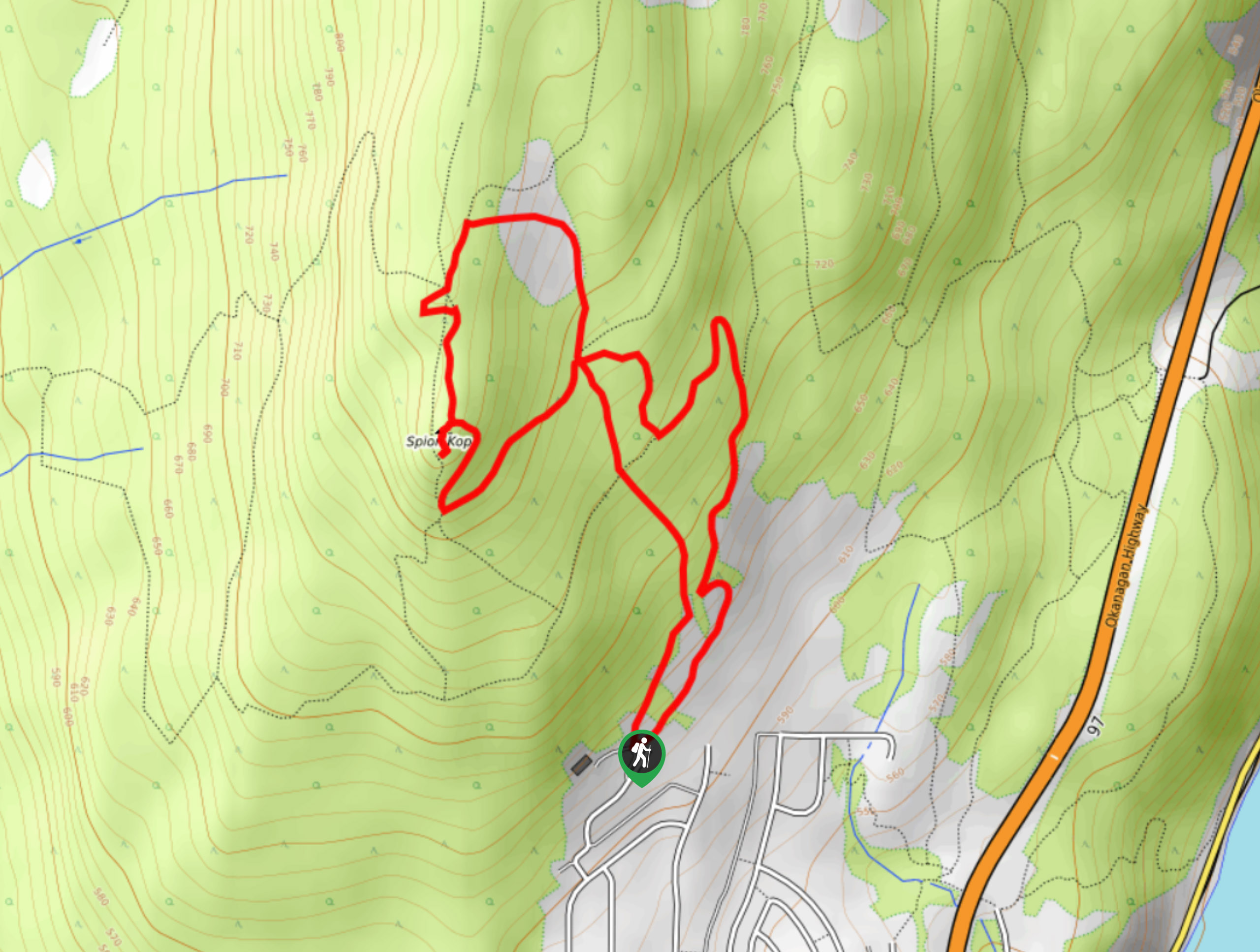
The Arrowleaf, Summit, and Tower Trails Loop fuses two circuits and three trails carved into Spion Kop in the Okanagan Valley’s Lake Country to form one unforgettable adventure. Spion Kop boasts many paths, so you can always go off the grid and follow trails that cater to your needs. This area is a fantastic place to get your heart pumping year-round!
Getting there
To get to the Arrowleaf, Summit, and Tower Trails Loop trailhead from Vernon, head to BC-97 S. Turn right at Oceola Road (just after you see a Tim Hortons) and drive for 0.7mi before taking the first exit at the roundabout towards Lake Hill Drive. Turn left onto Shoreline Drive after 2789ft and drive for another 1476ft. Take a left onto Apex Drive and follow this road for 2297ft before turning left toward Apex Lane. Make a quick right onto Apex Lane. After 558ft, take another left onto Derek Trethewey Drive. Shortly after, you’ll see the Spion Kop Hiking Trails-Upper Lakes Trailhead on your right.

About
| When to do | Year-round |
| Backcountry Campsites | No |
| Pets allowed | Yes - On Leash |
| Family friendly | Yes |
| Route Signage | Poor |
| Crowd Levels | Low |
| Route Type | Circuit |
Arrowleaf, Summit, and Tower Trails Loop
Elevation Graph
Weather
Arrowleaf, Summit, and Tower Trails Description
Spion Kop in Lake Country, BC, boasts of a compilation of winding trails, but if you want to reach the best views, we suggest following the GPS for Arrowleaf, Summit, and Tower Trails Loop. The network of trails etched into this hidden gem of an area can make it easy to get lost, so come prepared with a map or download GPS. If you do get lost, you can always create-your-own adventure—there’s a high chance you’ll reach a bird’s eye lake view at some point.
Do note that there are some steep inclines! Bring your poles, and come prepared with crampons if you plan on doing this in snowy conditions.
Similar hikes to the Arrowleaf, Summit, and Tower Trails Loop hike
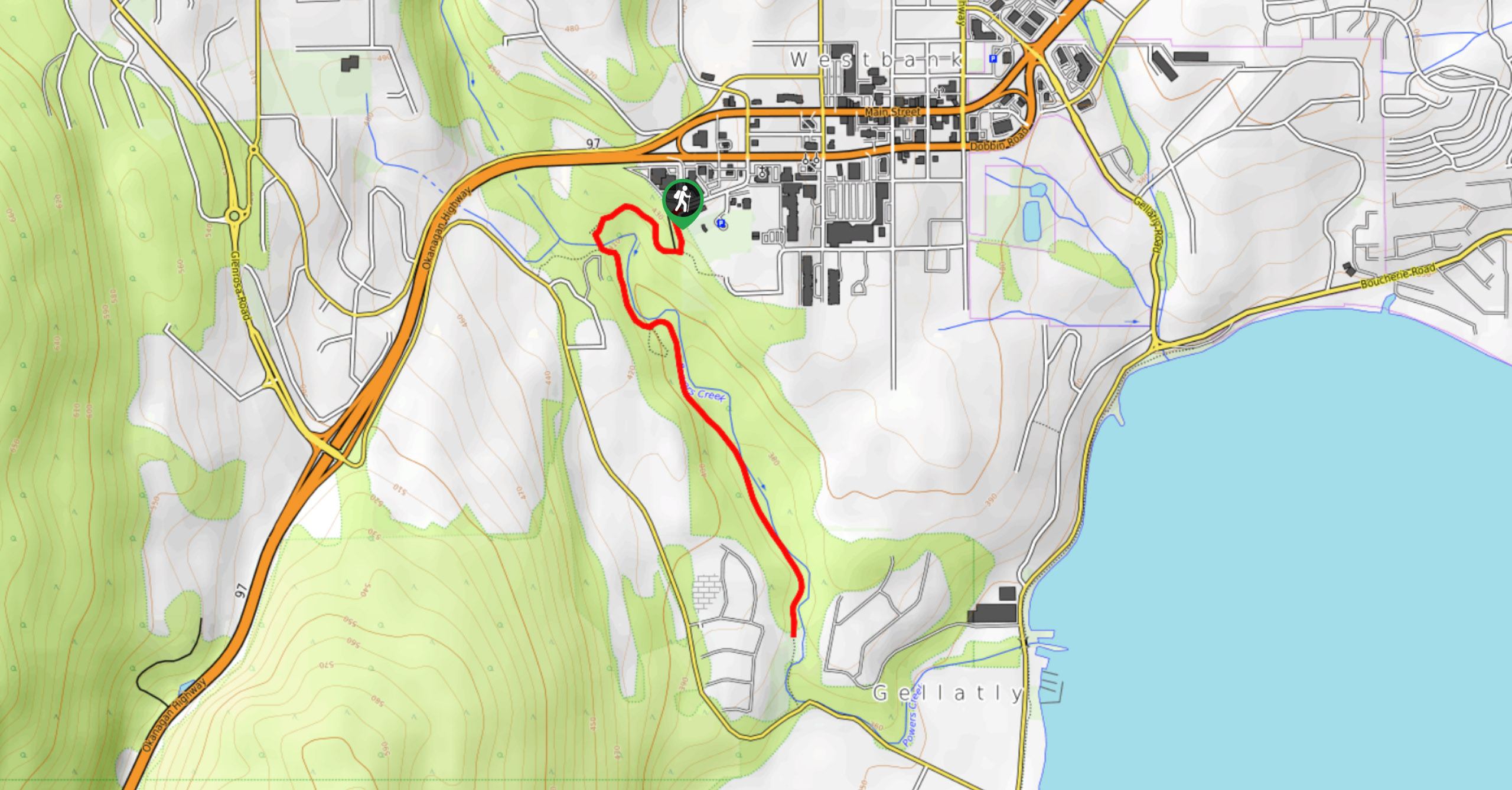
Glen Canyon Greenway Trail
The Glen Canyon Greenway Trail, located in West Kelowna, is a family-friendly hike that blends flat, easy-going terrain with more…
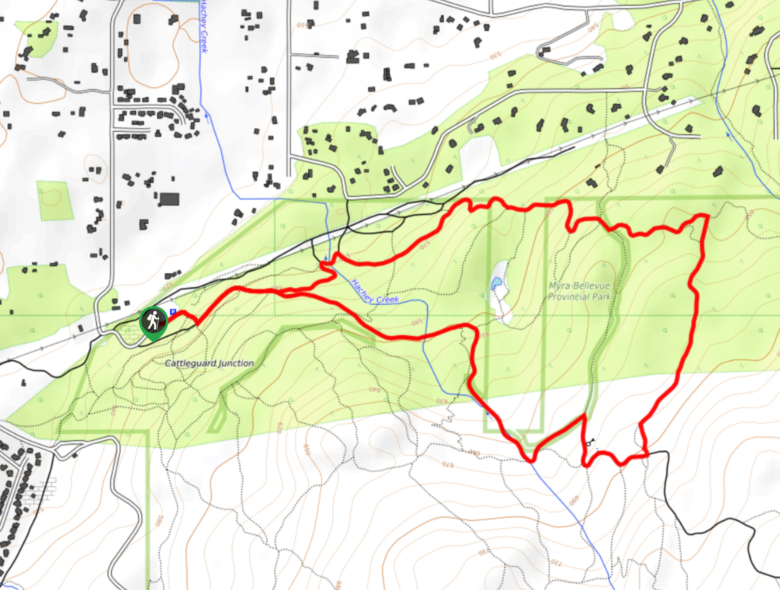
Myra Bellevue Trail
The Myra Bellevue Trail takes you around a wide loop, granting far-away unveilings of Okanagan Lake nestled at the forefront…
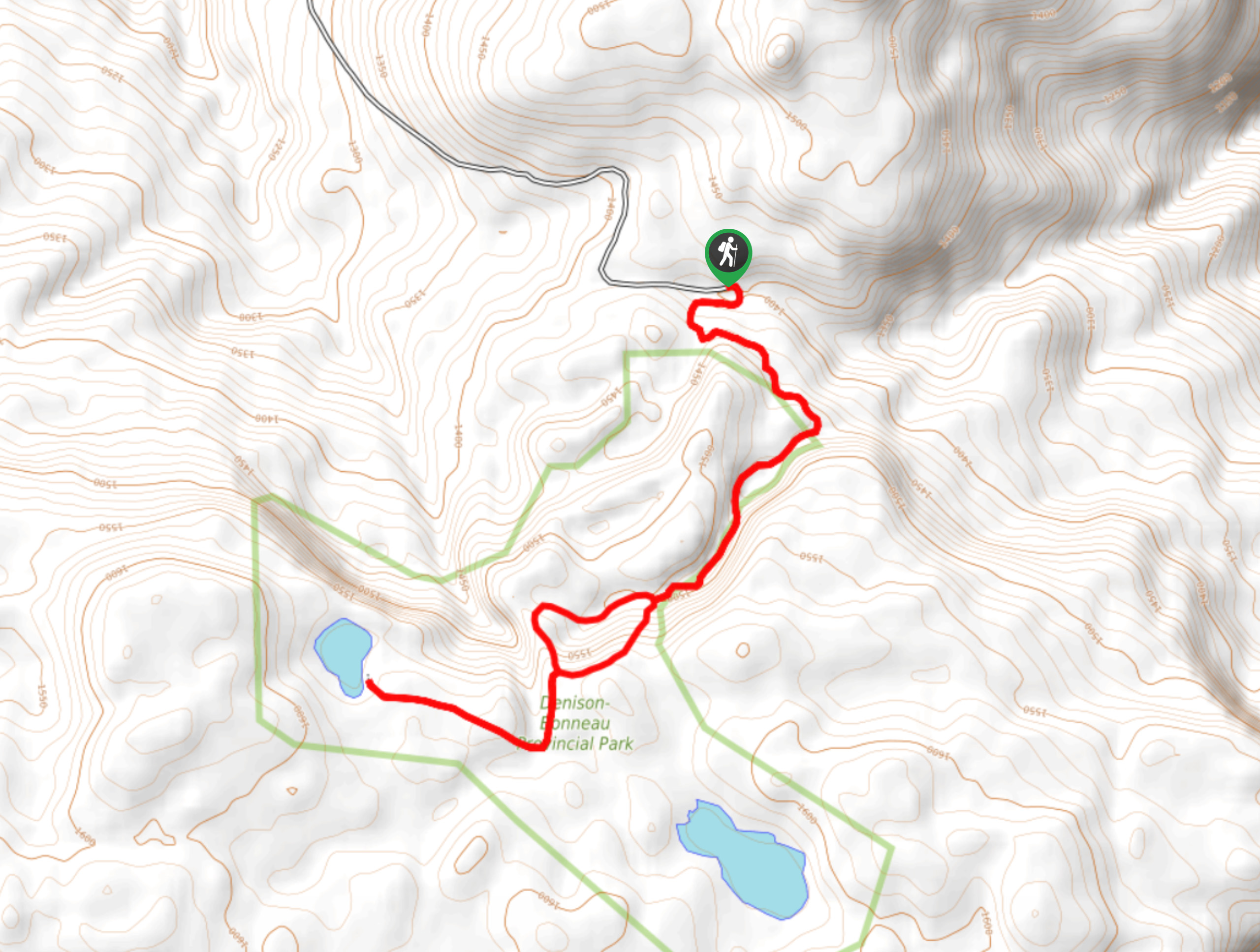
Denison Lake Trail
When summer rolls around, the Okanagan Valley’s scorching hot weather propels most to flock to the beaches, but why not…
Comments