
Lower Certainty Mine Trail
View Photos
Lower Certainty Mine Trail
Difficulty Rating:
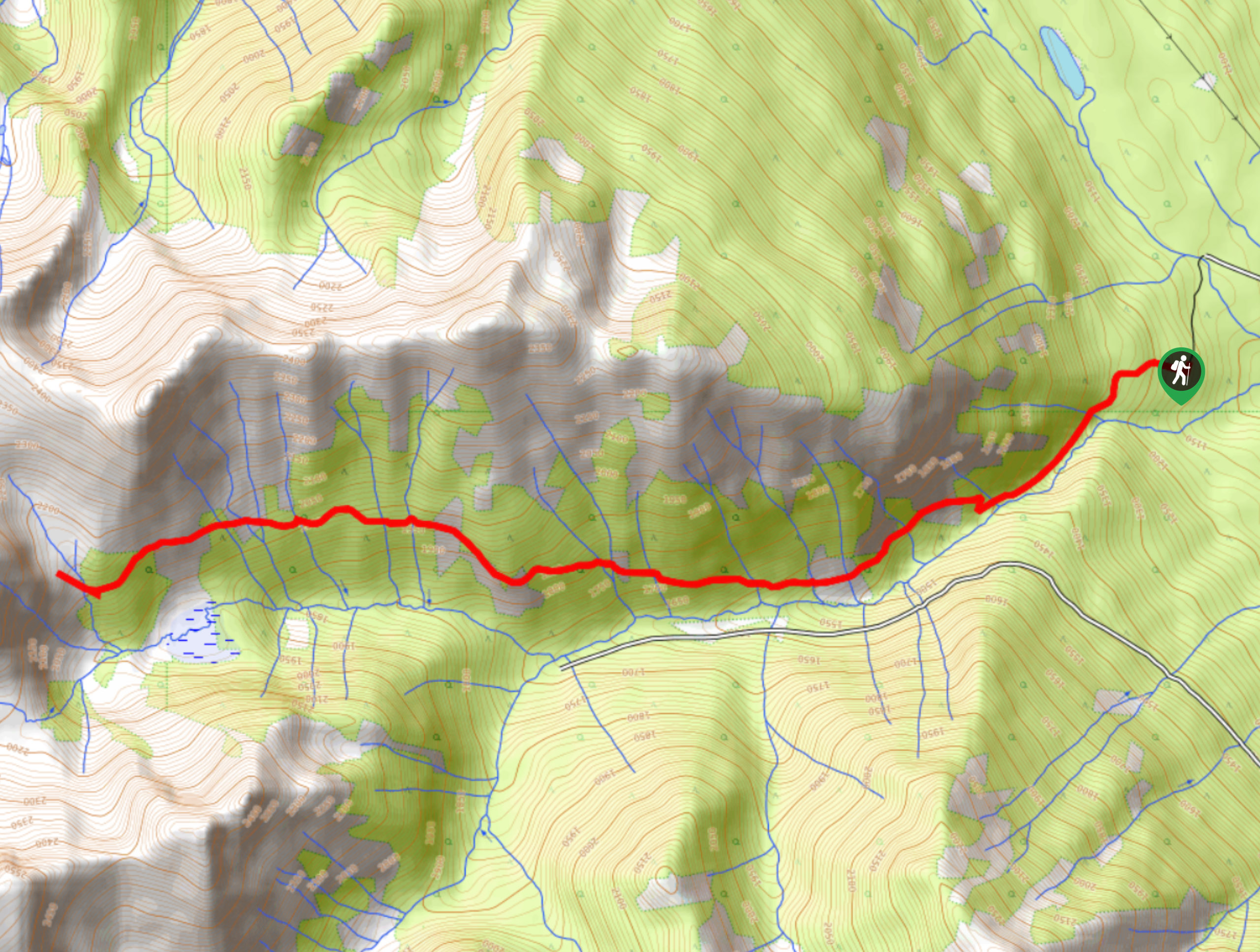
The Lower Certainty Mine Trail is a 6.0mi out-and-back hiking route near Golden, BC, that climbs through the forest along an old mining access path to reach a beautiful subalpine valley. This moderate trail features some reasonably easy terrain and a gradual climb through the hillside, making for a not-too-difficult trek that most casual hikers can enjoy. Pair this hike with the Upper Certainty Mine Trail to experience more of the charming subalpine terrain.
Getting there
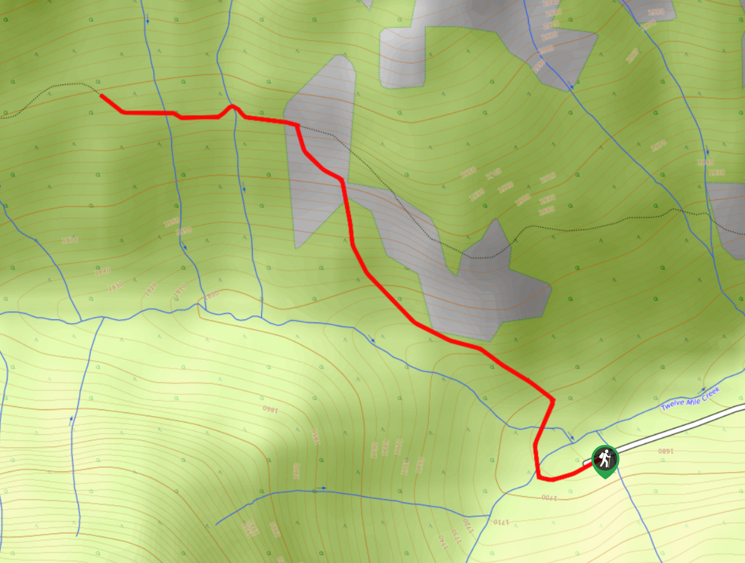
To get to the Lower Certainty Mine trailhead from Nicholson, head southwest on Canyon Creek Road for 1.1mi and turn left on 12-Mile Creek Road. Set your odometer to 0 and continue for 1.2mi before turning right. At the 1.4mi mark, keep straight and continue until the 2.1mi mark, where you will make a left turn. At 3.4mi, make another left and at 3.7mi, keep right to cross under the power lines. In 328ft, turn left and continue to the 4.4mi mark, where you will turn left and climb up a hill. Continue for 2297ft to reach the trailhead.

About
| When to do | May–November |
| Backcountry Campsites | No |
| Pets allowed | Yes - On Leash |
| Family friendly | Older Children only |
| Route Signage | Average |
| Crowd Levels | Moderate |
| Route Type | Out and back |
Lower Certainty Mine Trail
Elevation Graph
Weather
Lower Certainty Mine Trail Description
Hiking along the Lower Certainty Mine Trail is a superb way to experience some of the varied landscapes found in the Golden area. Historically, this route was used as an access route for mining operations along the 12-Mile Creek drainage area; however, it’s now used as a scenic hiking route to explore the peaceful subalpine terrain.
Setting out from the trailhead, hikers will follow a path towards the southwest alongside the flowing waters of 12-Mile Creek. As you make your way along the largely forested trail, you will cross over several small streams that feed into the creek. The initial portion of this trail is relatively steep, but it eventually levels out to a more gradual incline on the approach to the subalpine valley. As you break out of the tree cover, you will have a terrific view of the rugged and steep slopes of the nearby mountains and the wooded valley below. After reaching the trail’s end, hikers can choose to explore the surrounding area, where they will find a small waterfall or head back down the trail to return to their vehicle.
Similar hikes to the Lower Certainty Mine Trail hike
Mount 7 Trail
The Mount 7 Trail is a 5.6mi out-and-back hiking route near Golden, BC, that sets out from a…
Upper Certainty Mine Trail
The Upper Certainty Mine Trail is a 1.9mi out-and-back hiking route that will take you through some beautiful…
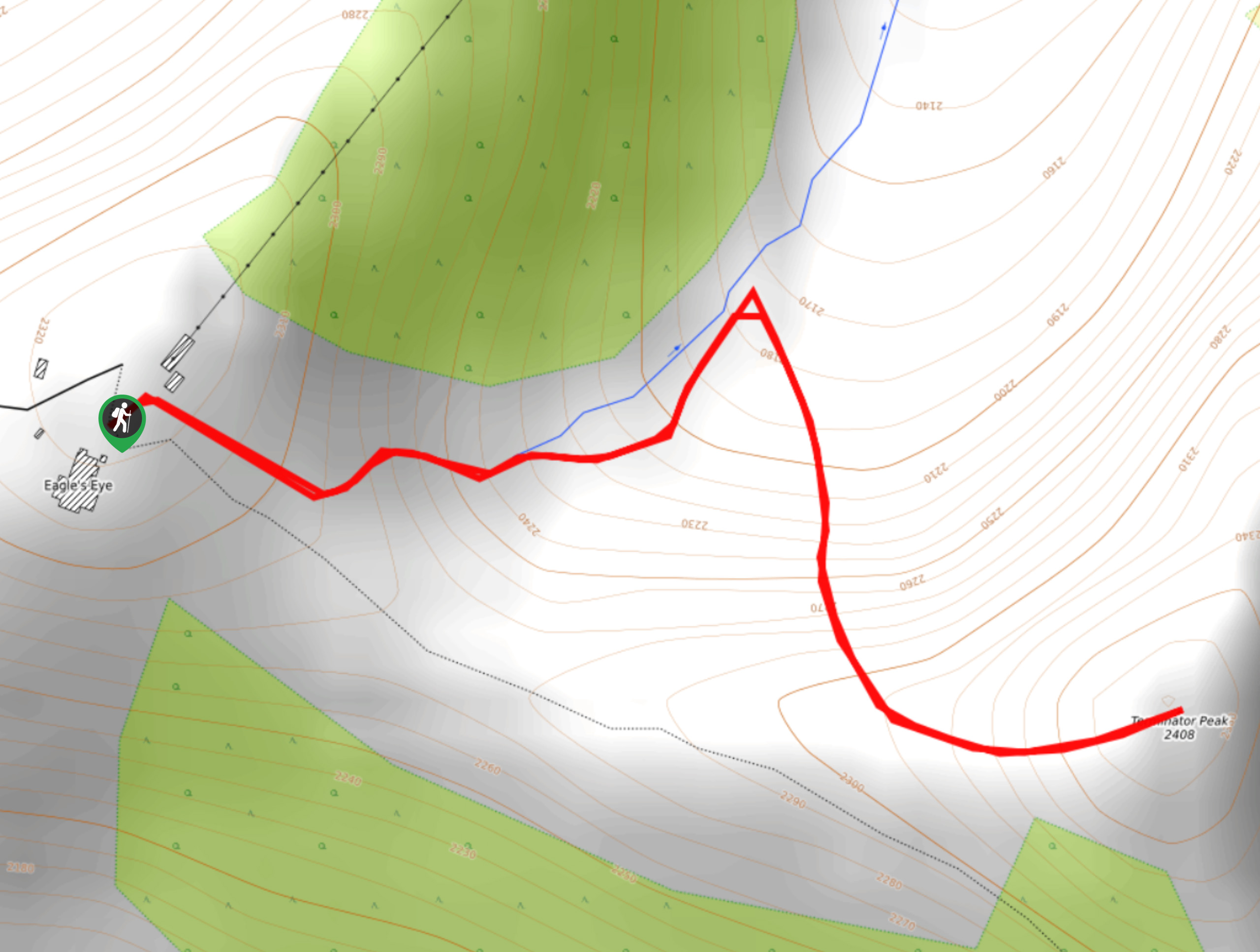
Terminator Peak
The hike up to Terminator Peak is a 0.9mi out-and-back route on the Kicking Horse Mountain Resort, taking…
Comments