
Gorman Lake Trail
View Photos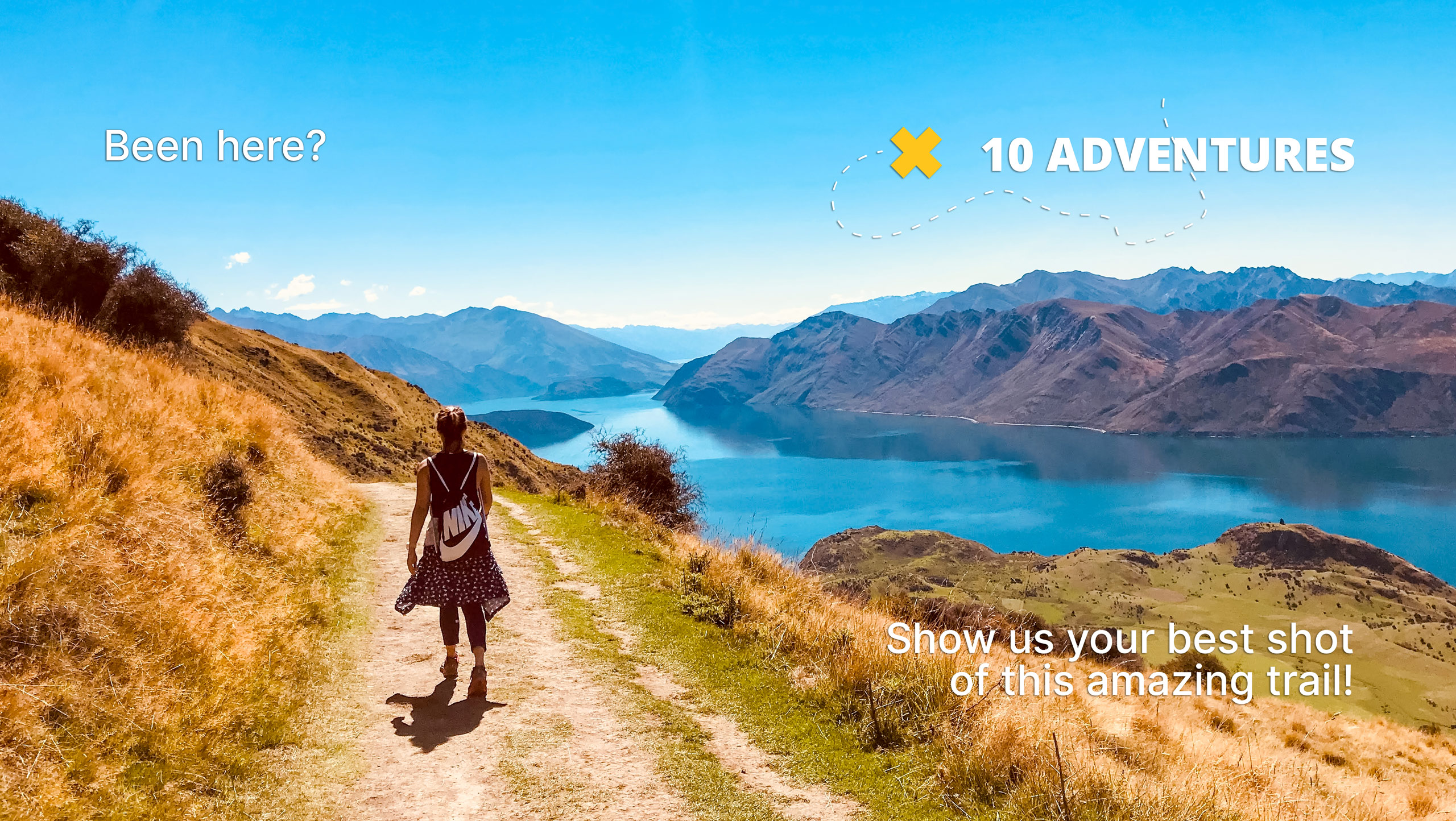
Gorman Lake Trail
Difficulty Rating:
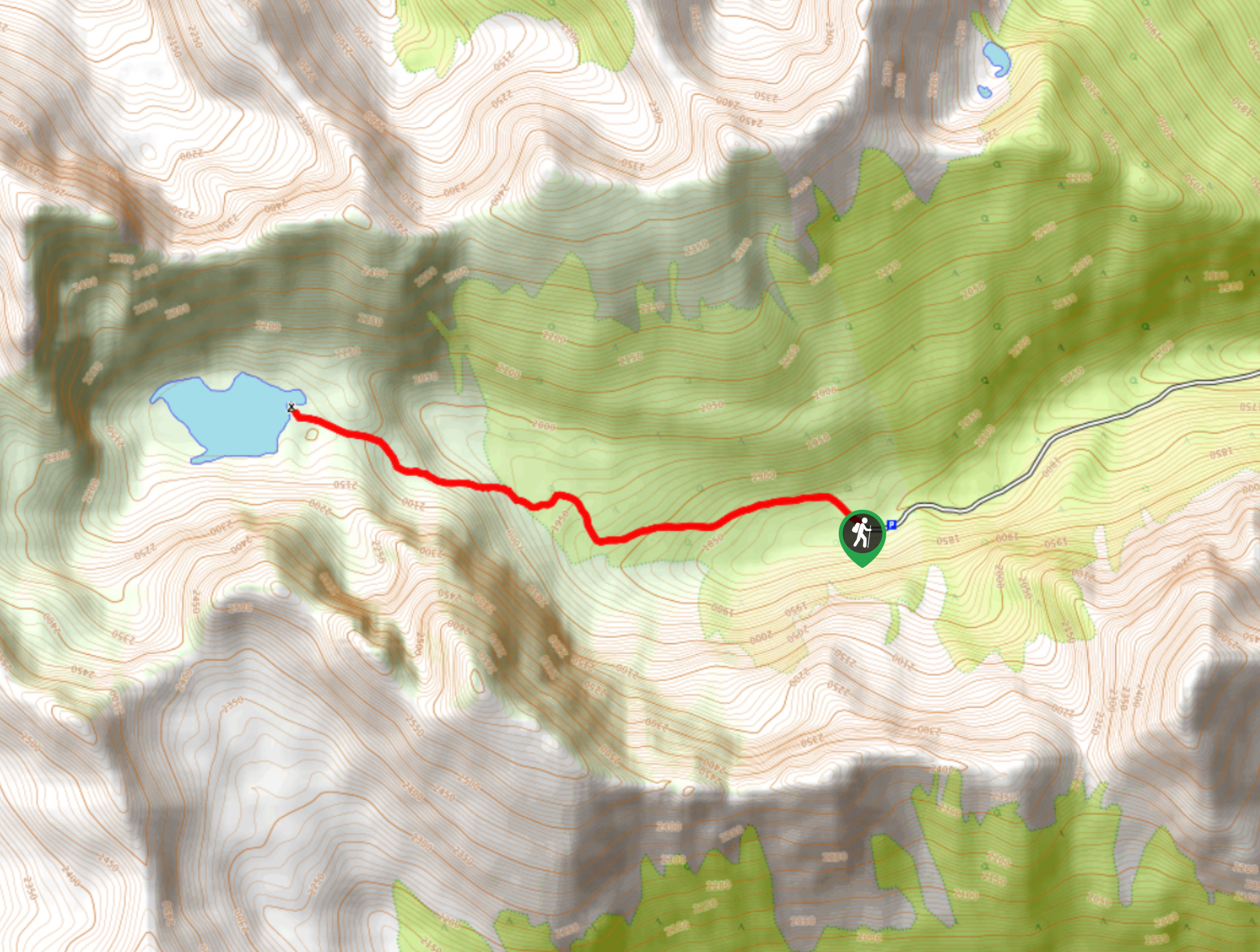
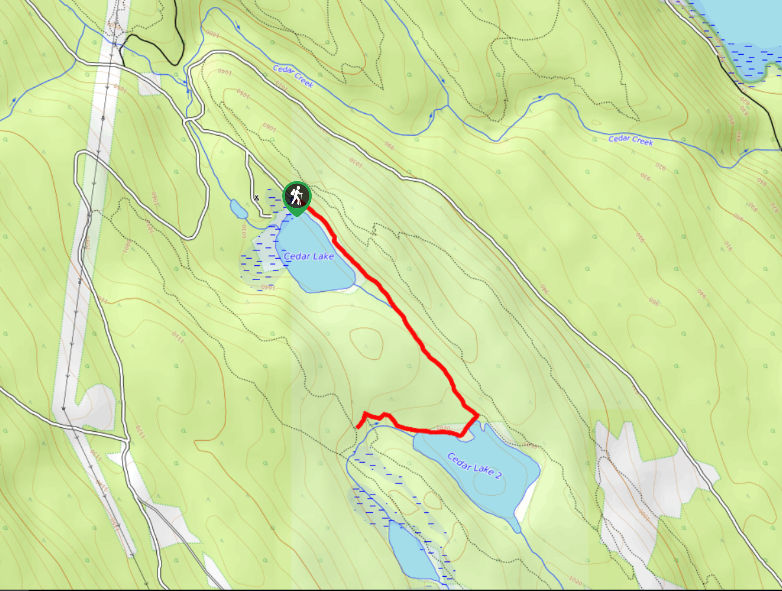
The Gorman Lake Trail is a 3.6mi out-and-back hiking route through a beautiful alpine valley west of Golden, BC, that ends at the picturesque edge of Gorman Lake. The trail itself isn’t very difficult; however, the drive up to the trailhead is challenging, so make sure you have a 4x4/high clearance vehicle for the trip. If you can successfully reach the lake, the stunning views and relaxing atmosphere are sure to make you forget all about the trouble of getting there.
Getting there
To reach the trailhead for the Gorman Lake Trail from Golden, head north on Dogtooth FSR for 10.3mi, then head west on Gorman Lake FSR for 2.6mi.

About
| When to do | May–September |
| Backcountry Campsites | No |
| Pets allowed | Yes - On Leash |
| Family friendly | Older Children only |
| Route Signage | Average |
| Crowd Levels | Moderate |
| Route Type | Out and back |
Gorman Lake Trail
Elevation Graph
Weather
Gorman Lake Trail Description
The trek up to Gorman Lake is one of the most picturesque hikes in the Golden area; however, getting to the trailhead is a challenging ordeal that has likely turned away more than its fair share of hikers over the years. If you can successfully make it to the trailhead, you can expect a relatively easy hike through some truly stunning alpine terrain, and of course, a relaxing lakeside atmosphere that can only be found in such a remote location.
Setting out from the parking area, follow the trail west as it heads through the forest. The terrain along this route is nice and varied, including stretches of forest, alpine meadow, and a small boulder field that is easy to navigate. On the approach to the lake, you will be surrounded by the rugged mountain peaks that frame the landscape and will have a gorgeous sightline across the shimmering waters of the lake. The immediate area offers many options for exploration, making for a fun day up in the mountains, and there is even a small (albeit leaky) canoe that can be used to paddle across the water. After you’ve had enough of the picturesque landscape, head back down the trail for the rough car ride home.
Similar hikes to the Gorman Lake Trail hike
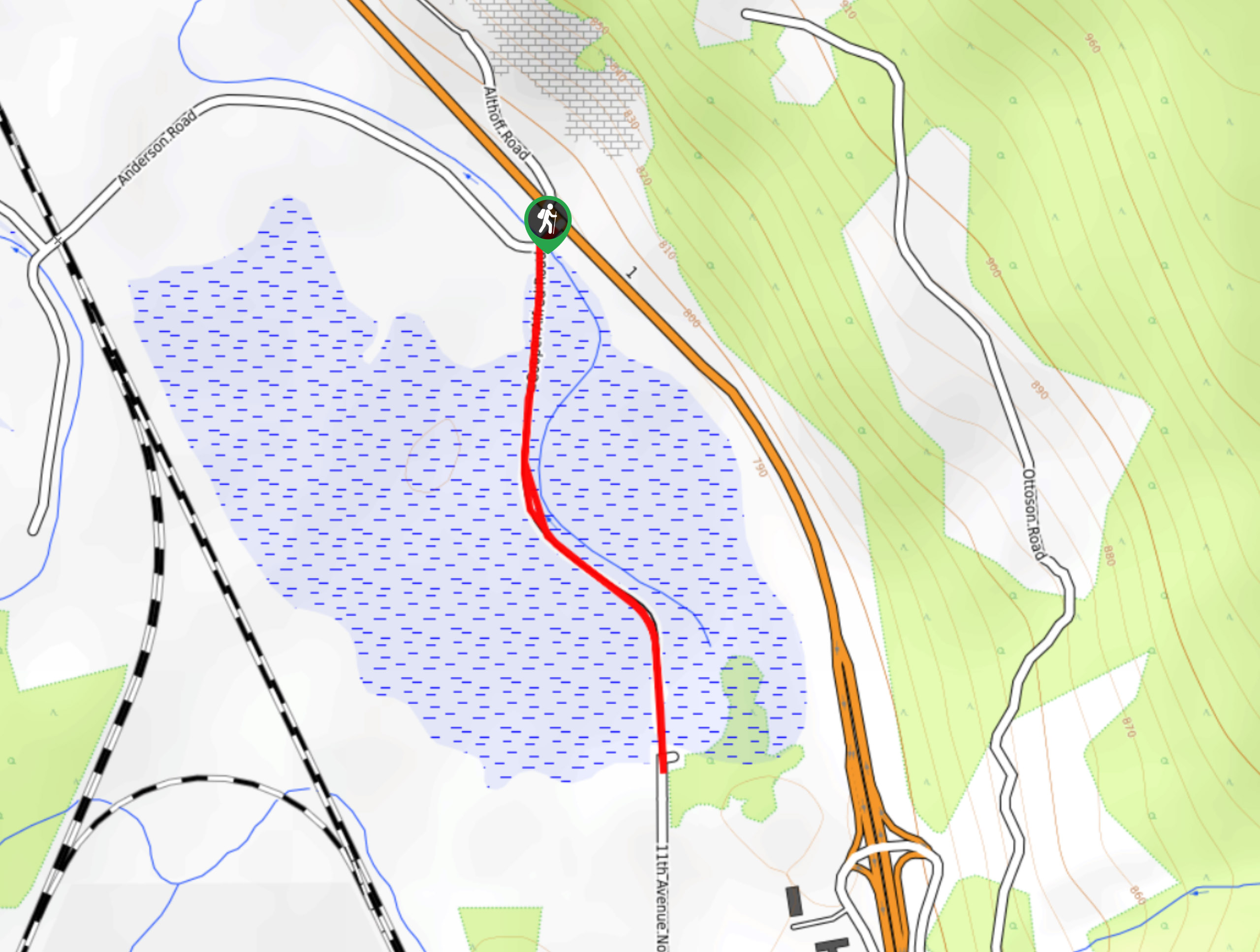
Edelweiss Slough
The Edelweiss Slough is a 0.6mi out-and-back hiking route that passes through a beautiful stretch of wetland landscape…
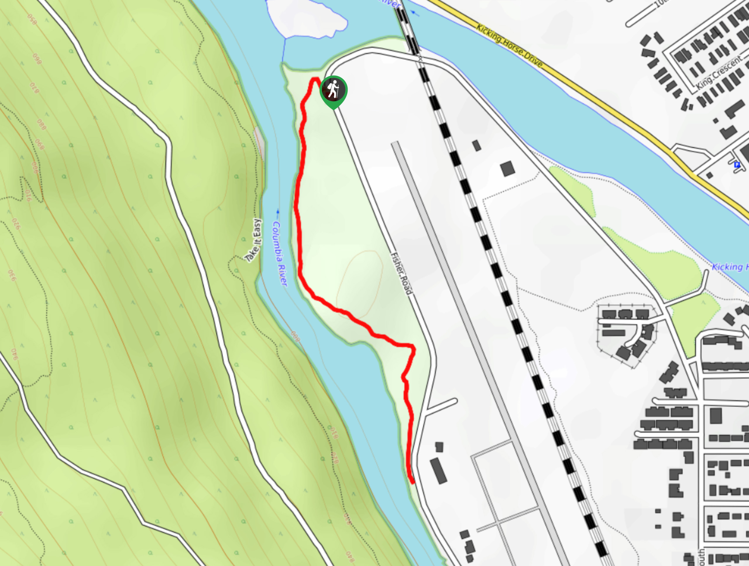
Confluence Park Trail
The Confluence Park Trail is a 1.1mi out-and-back hiking route in Golden, BC, that skirts alongside the airport…
Cedar Camp Trail
The Cedar Camp Trail is a 2.0mi out-and-back hiking route found within the Moonraker Trails Recreation Site near…
Comments