

Cedar Camp Trail
View PhotosCedar Camp Trail
Difficulty Rating:
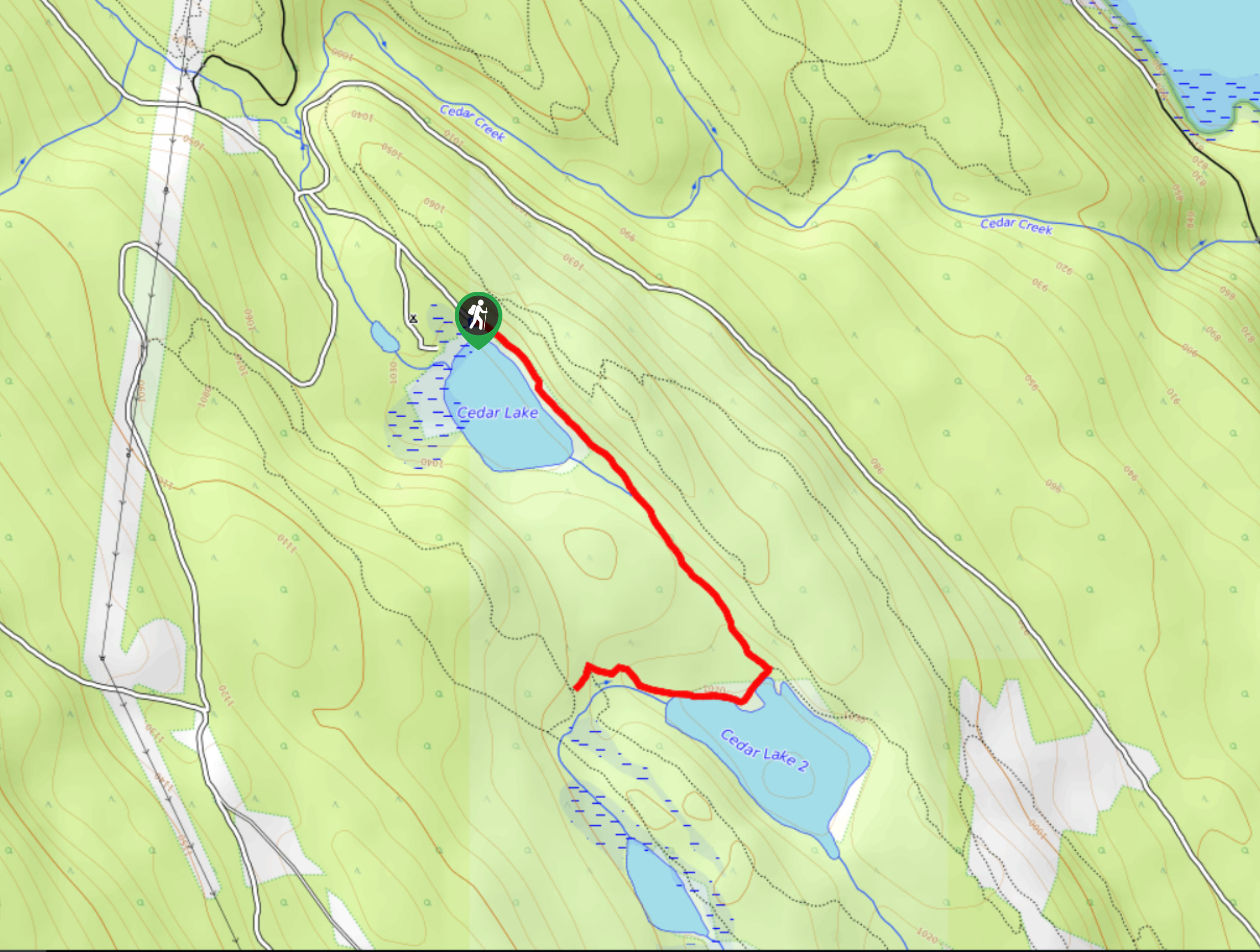
The Cedar Camp Trail is a 2.0mi out-and-back hiking route found within the Moonraker Trails Recreation Site near Golden and features two charming lakes in a beautiful forest setting. From the edge of the lakes, you will have a picturesque view of the scenic woodland landscape with majestic mountains poking out above the treeline. Ensure to bring a trail map for navigation and bug spray to avoid making any new flying friends along the trail.
Getting there
To access the Cedar Camp Trail from the Kicking Horse Mountain Resort, drive southeast on Kicking Horse Trail for 2.3mi and turn right on Dogtooth FSR. In 1.1mi, keep left at the fork and then immediately turn right onto Cedar Lake FSR. The trailhead will be straight ahead at 1476ft.
About
| When to do | May-October |
| Backcountry Campsites | Cedar Lake Recreation Site |
| Pets allowed | Yes - On Leash |
| Family friendly | Yes |
| Route Signage | Average |
| Crowd Levels | Moderate |
| Route Type | Out and back |
Cedar Camp Trail
Elevation Graph
Weather
Cedar Camp Trail Description
Hiking along the Cedar Camp Trail makes for a fun day in the woods as you can explore the dense network of hiking and mountain bike trails and take in the beautiful scenery across the woodland landscape. Before setting out, make sure to bring a GPS or trail map to stay on the correct route in the confusing web of interconnected trails.
The hike begins next to Cedar Lake, and you will quickly be able to look out over the surface of the water and take in some pretty magical views. On a fair-weather day, the water’s calm surface will often reflect a mirror image of the wooded shore and mountainous backdrop, creating a beautiful sight. Continue along the trail as it passes by the second Cedar Lake and turns to the west, where you will reach the end of the trail. If you plan your hike for the heat of the summer months, you can cool off by jumping into the refreshing waters of the lake.
Similar hikes to the Cedar Camp Trail hike
Edelweiss Slough
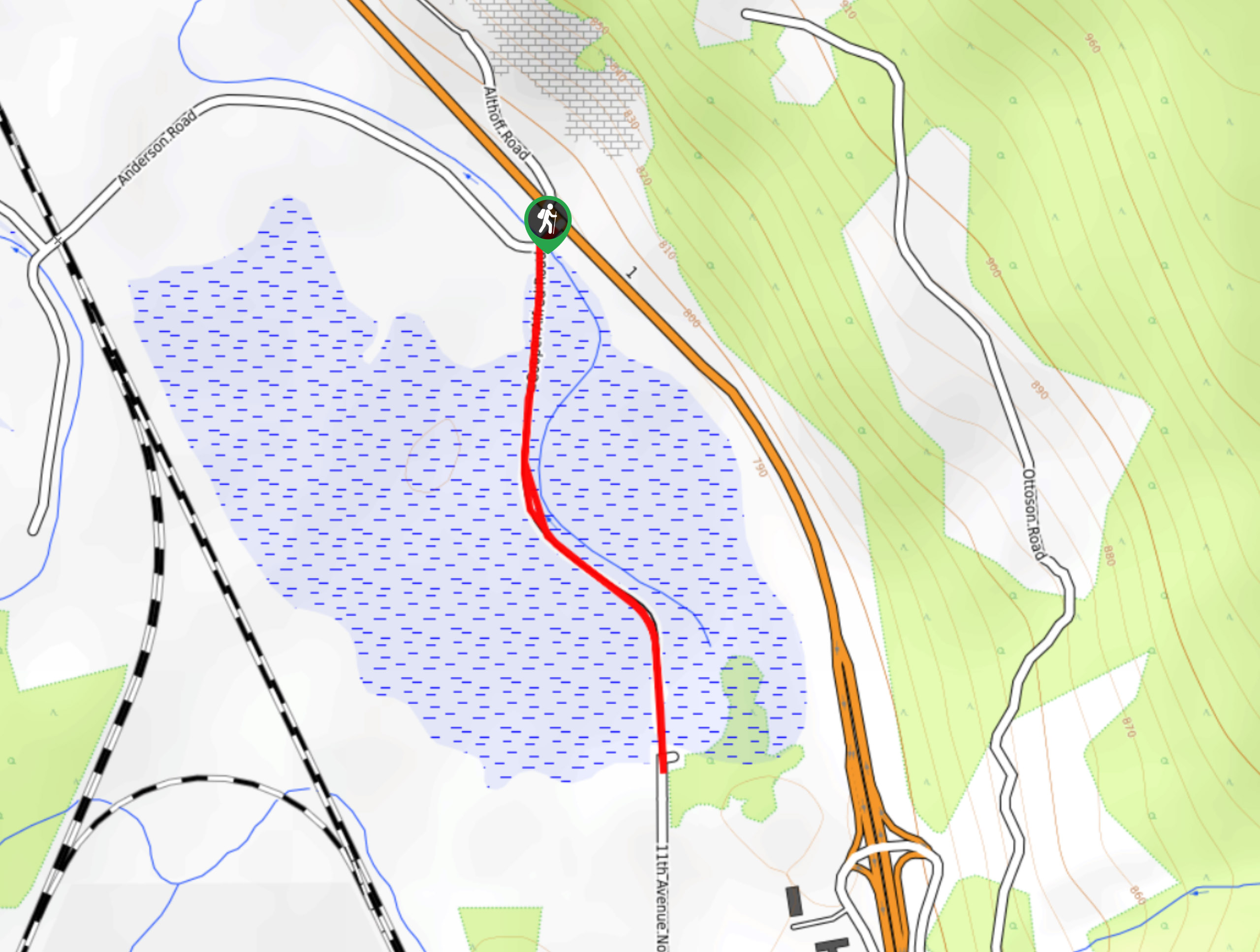
The Edelweiss Slough is a 0.6mi out-and-back hiking route that passes through a beautiful stretch of wetland landscape…
Upper Certainty Mine Trail
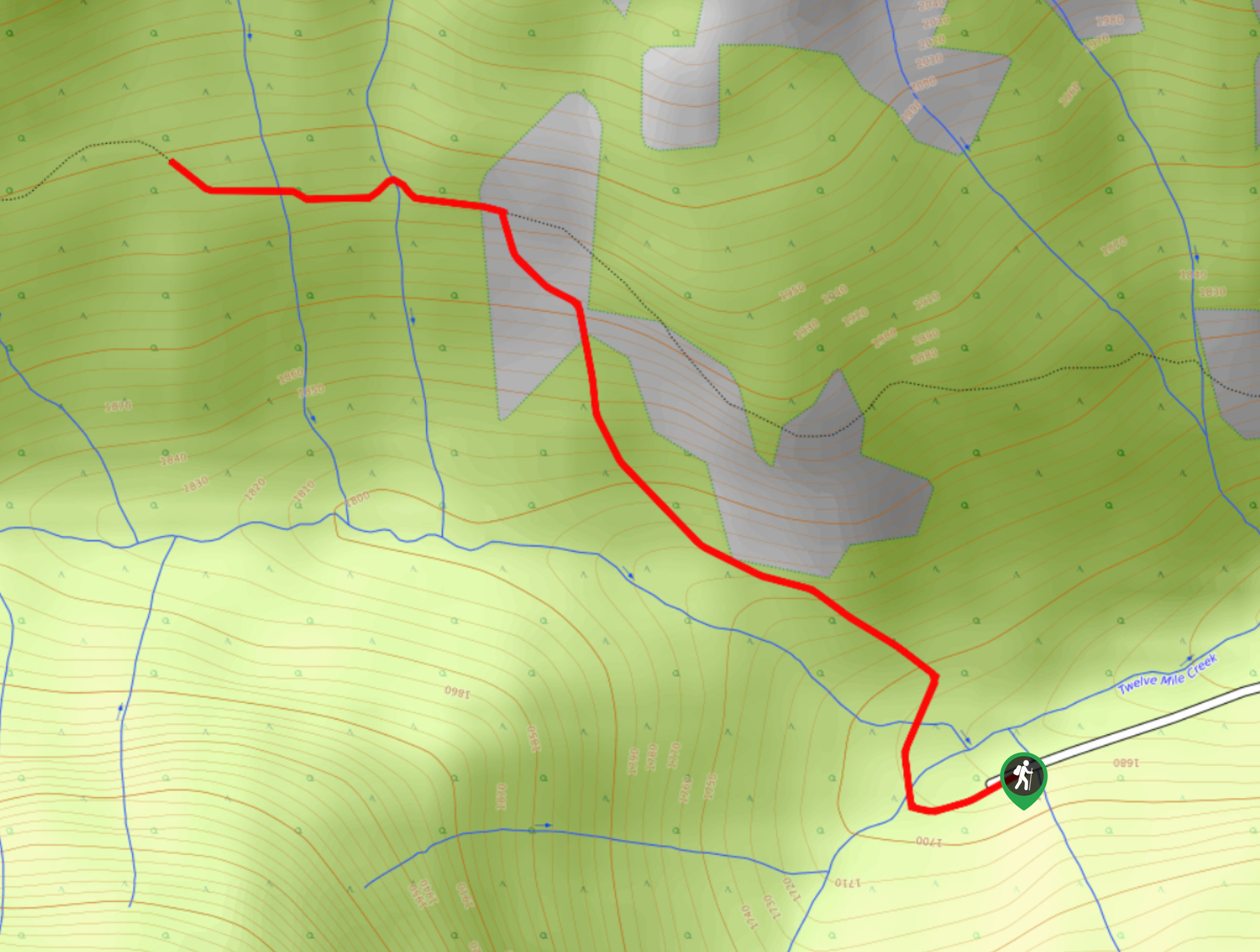
The Upper Certainty Mine Trail is a 1.9mi out-and-back hiking route that will take you through some beautiful…
Lower Certainty Mine Trail
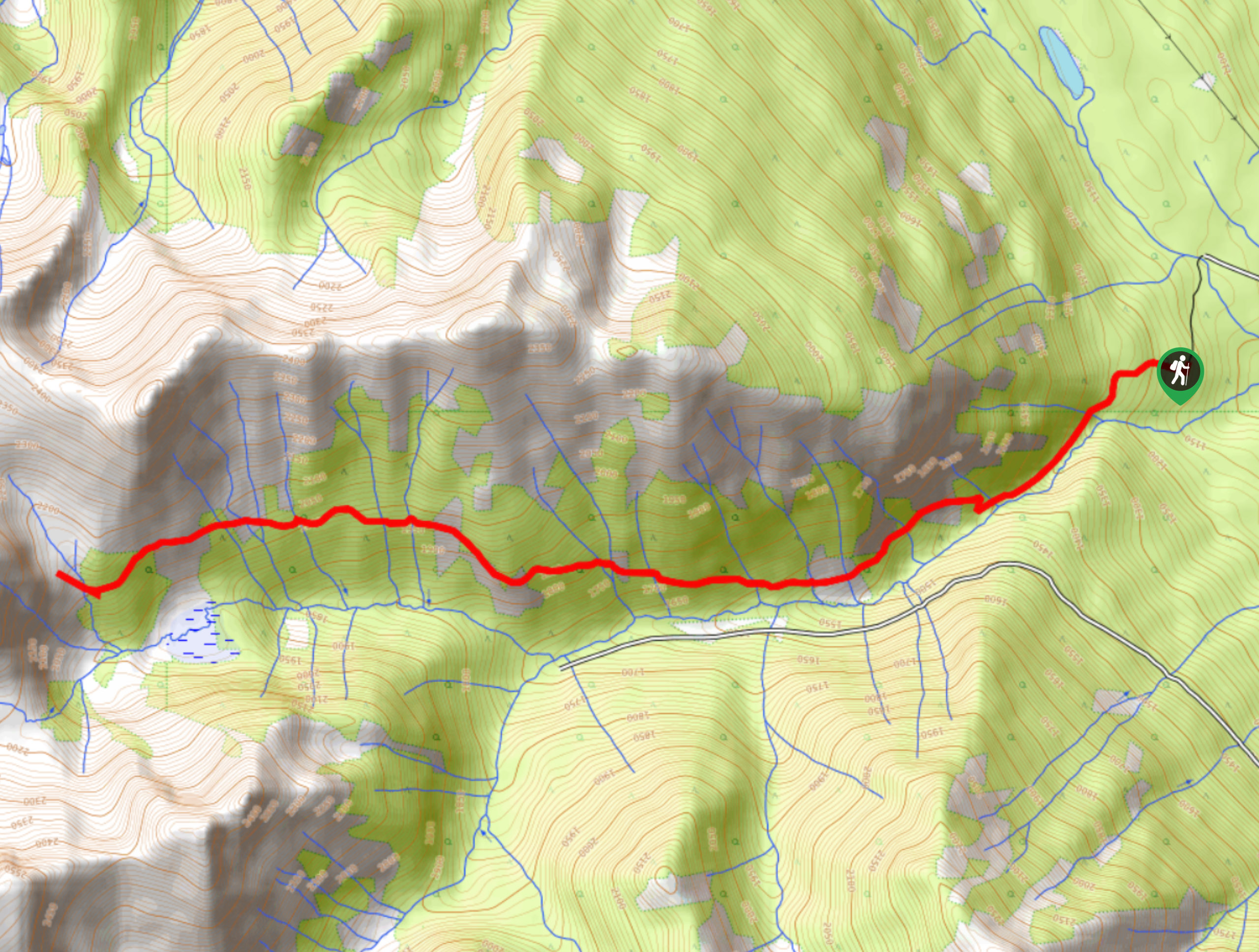
The Lower Certainty Mine Trail is a 6.0mi out-and-back hiking route near Golden, BC, that climbs through the…



Comments