Wild Pacific Trail
View Photos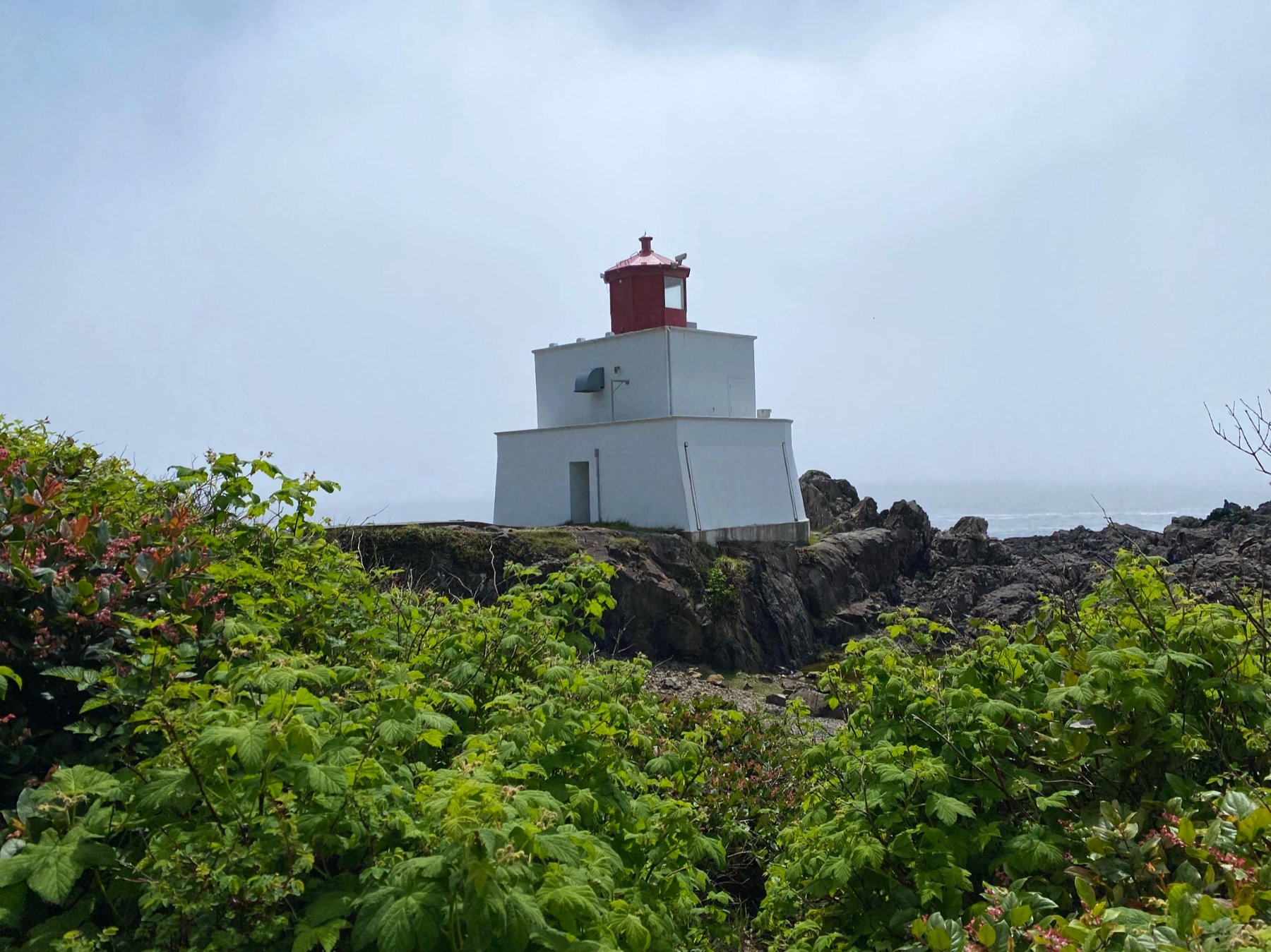

Wild Pacific Trail
Difficulty Rating:
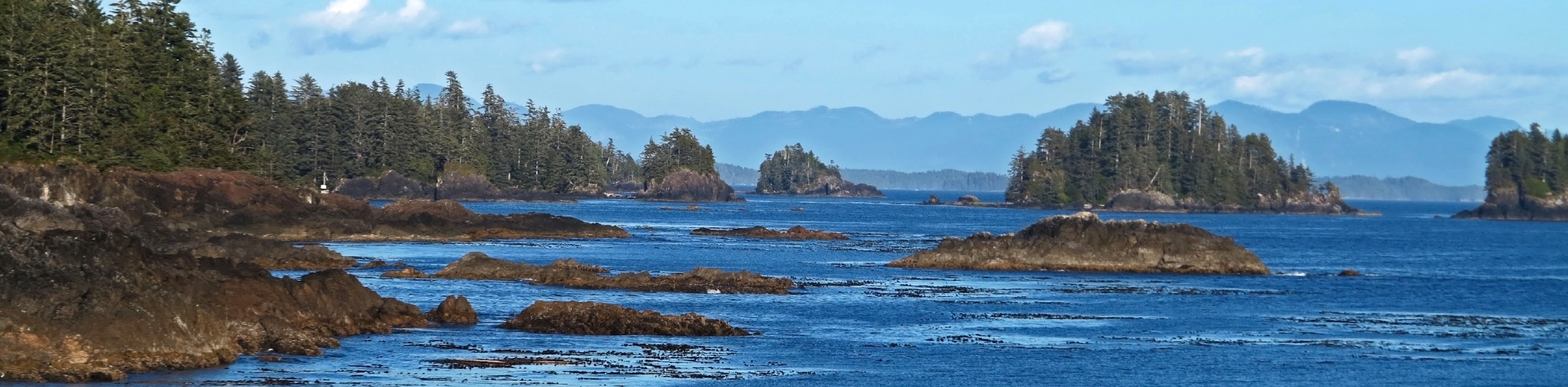
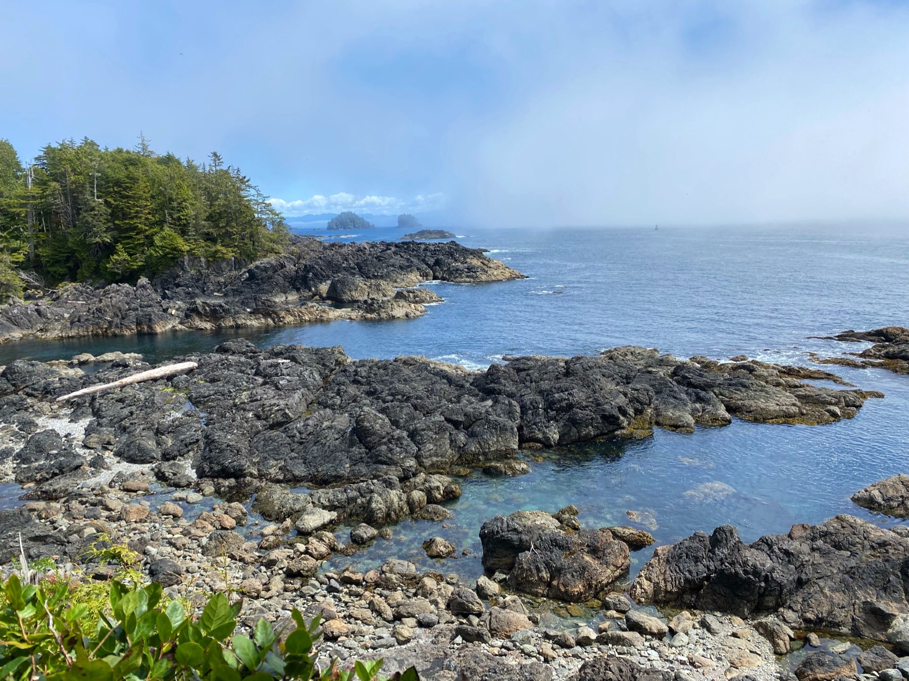
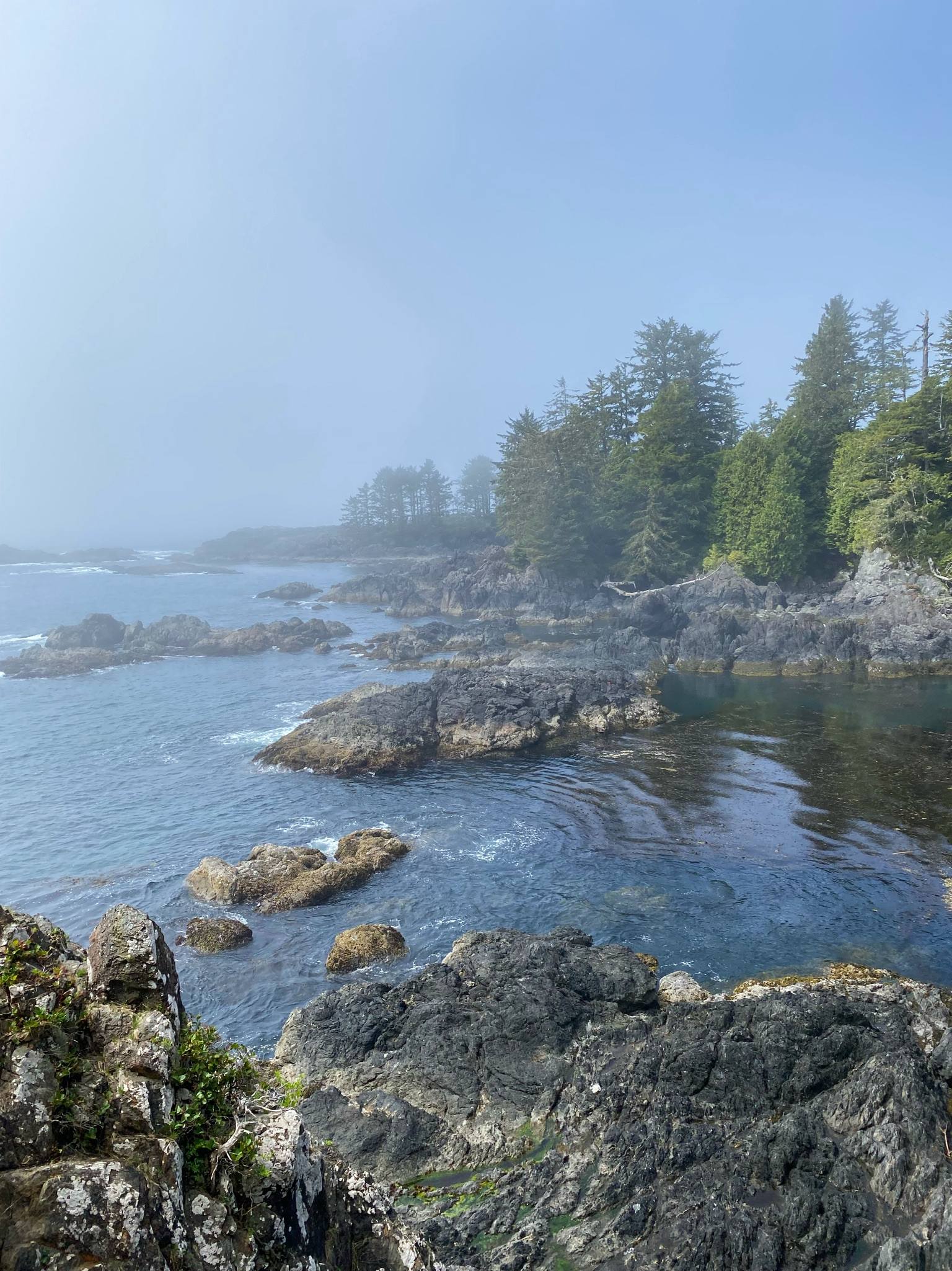
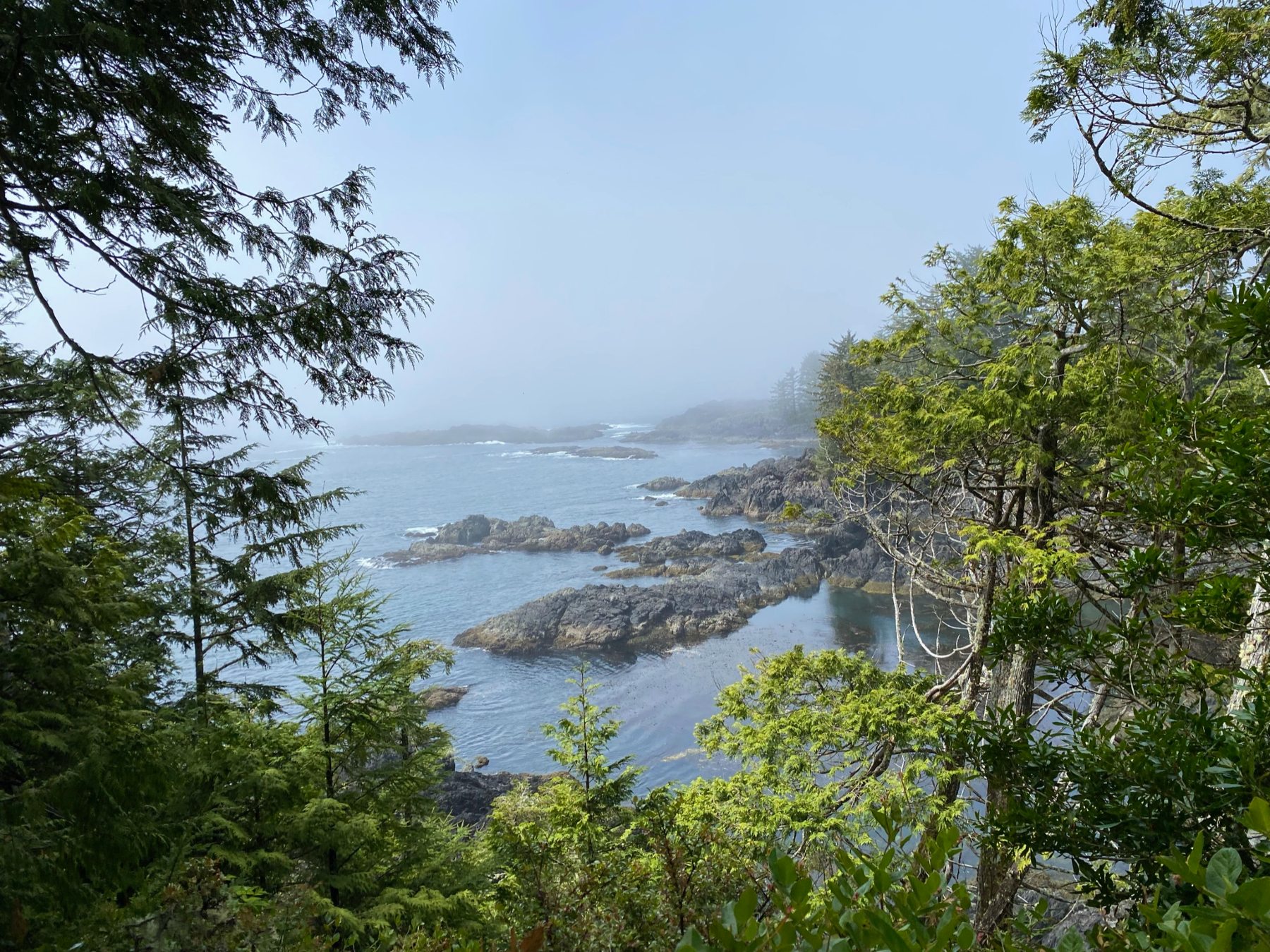
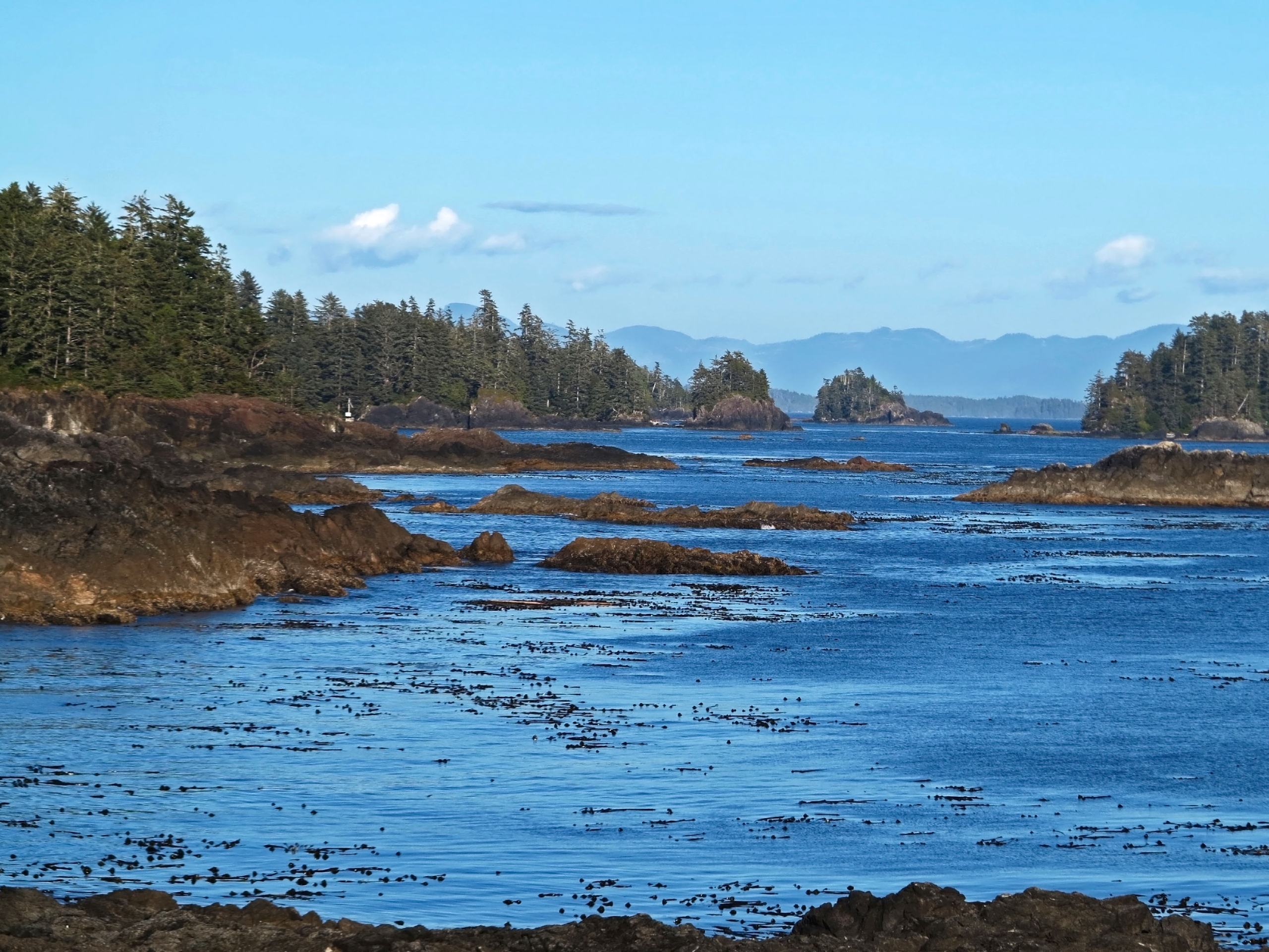
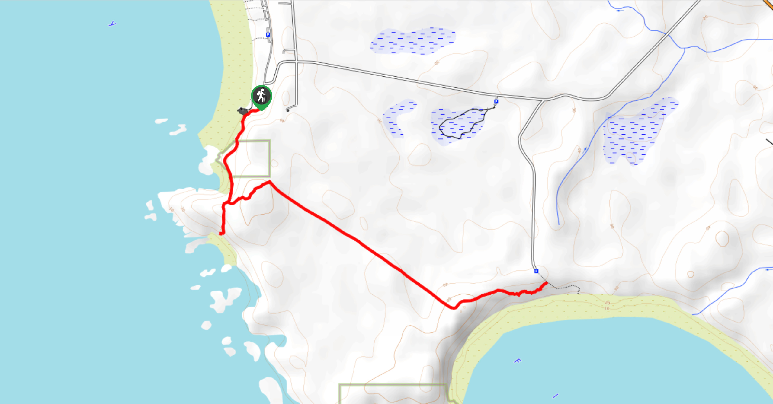
The Wild Pacific Trail is a 3.2mi out-and-back hiking route that travels along the coast in Ucluelet, BC, and provides several areas to view the scenic landscape. While the entire Wild Pacific Trail is broken up into three non-continuous sections, this stretch is the longest and follows the shoreline from Brown’s Beach to the Rocky Bluffs near the Ancient Cedars Trail. Along this route, you will have numerous opportunities to gaze out over the blue waters of the Pacific Ocean and watch its relentless waves crash against the rocky shores.
Getting there
To reach the parking area for the Wild Pacific Trail from Ucluelet, head southeast on Peninsula Road and make a right onto Matterson Drive. After 1804ft, turn right onto Marine Drive and you will find the parking lot on the left at 1804ft.

About
| When to do | April–October |
| Backcountry Campsites | No |
| Pets allowed | Yes - On Leash |
| Family friendly | Yes |
| Route Signage | Average |
| Crowd Levels | Moderate |
| Route Type | Out and back |
Wild Pacific Trail
Elevation Graph
Weather
Wild Pacific Trail Description
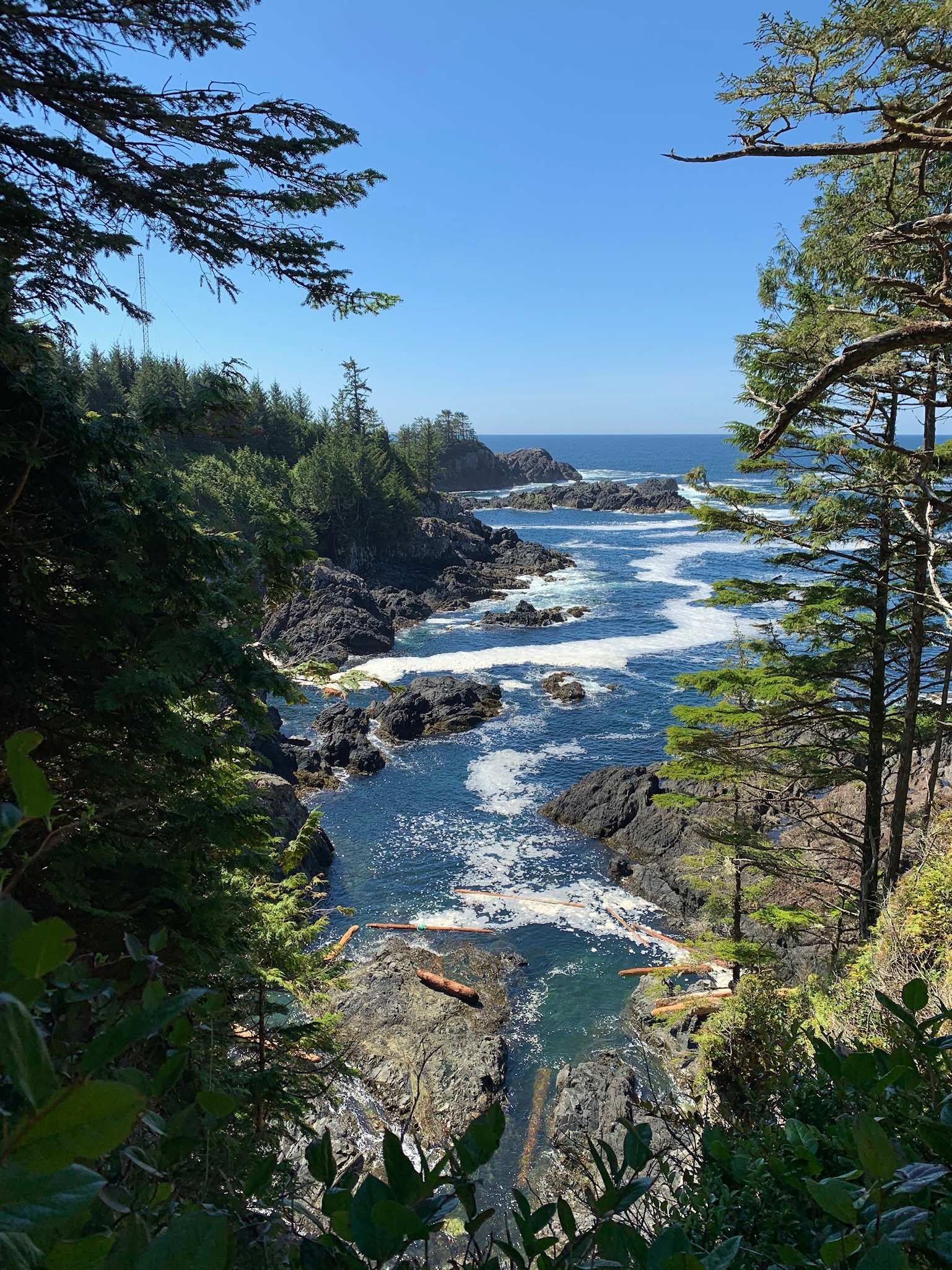
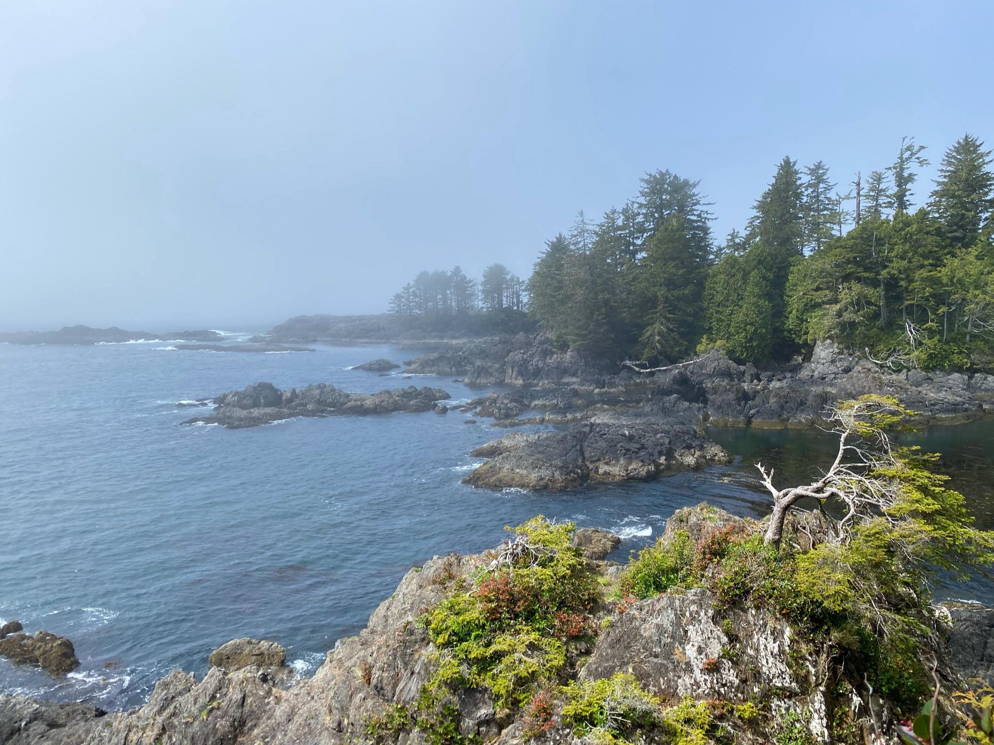
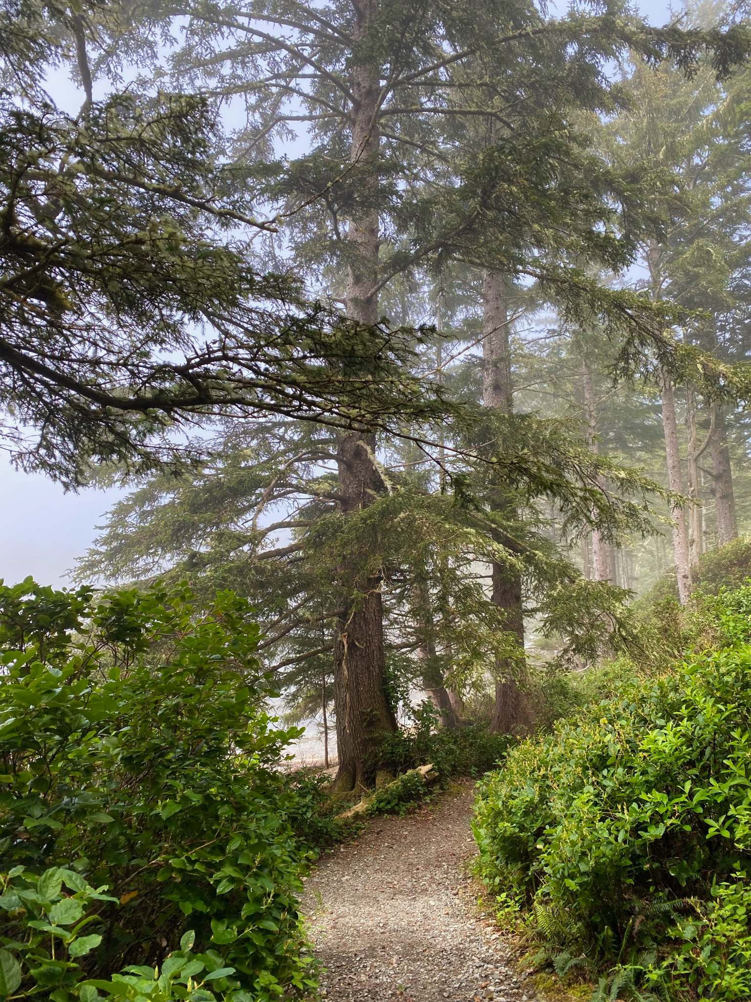
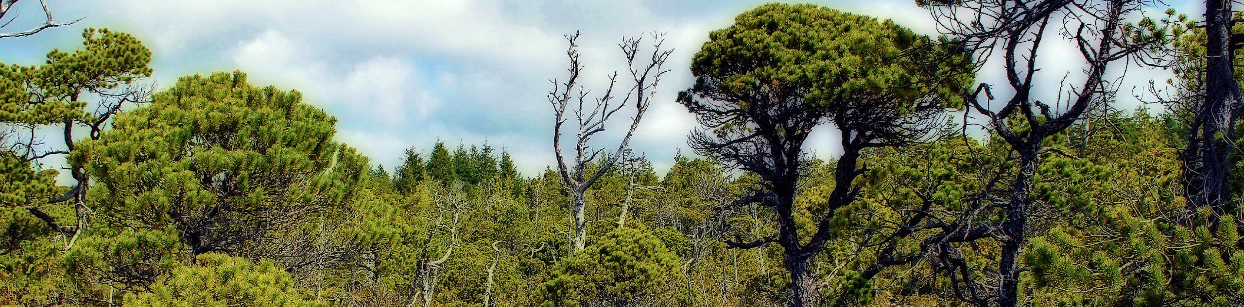
Hiking along the Wild Pacific Trail is a wonderful way to explore the beautiful coastal landscape that frames the town of Ucluelet on its western edge. The trail follows the forested edge of the coast and is made up of slightly hilly terrain, which should be easy to navigate for hikers of most skill levels. Along the route, several side trails and shortcuts branch off from the main route near the ocean’s edge. Make sure to bring a trail map to stay on the correct route or simply keep left at every junction (for the first half of the hike) to stay on the trail closest to the water.
This route is the perfect way to spend an evening in Ucluelet, as the countless viewpoints over the ocean offer the ideal platform for watching a gorgeous sunset over the water. The trail sets out near the small and secluded haven of Brown’s Beach before following along the rugged coast to a lookout at Rocky Bluffs. This route is the perfect mix of minimal effort and amazing views, making it ideal for casual and experienced hikers.
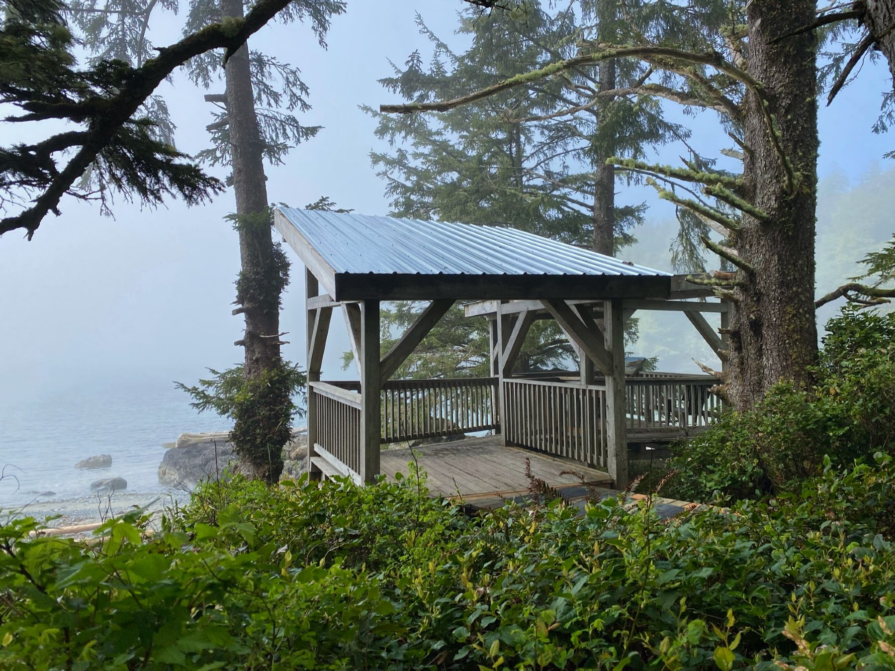
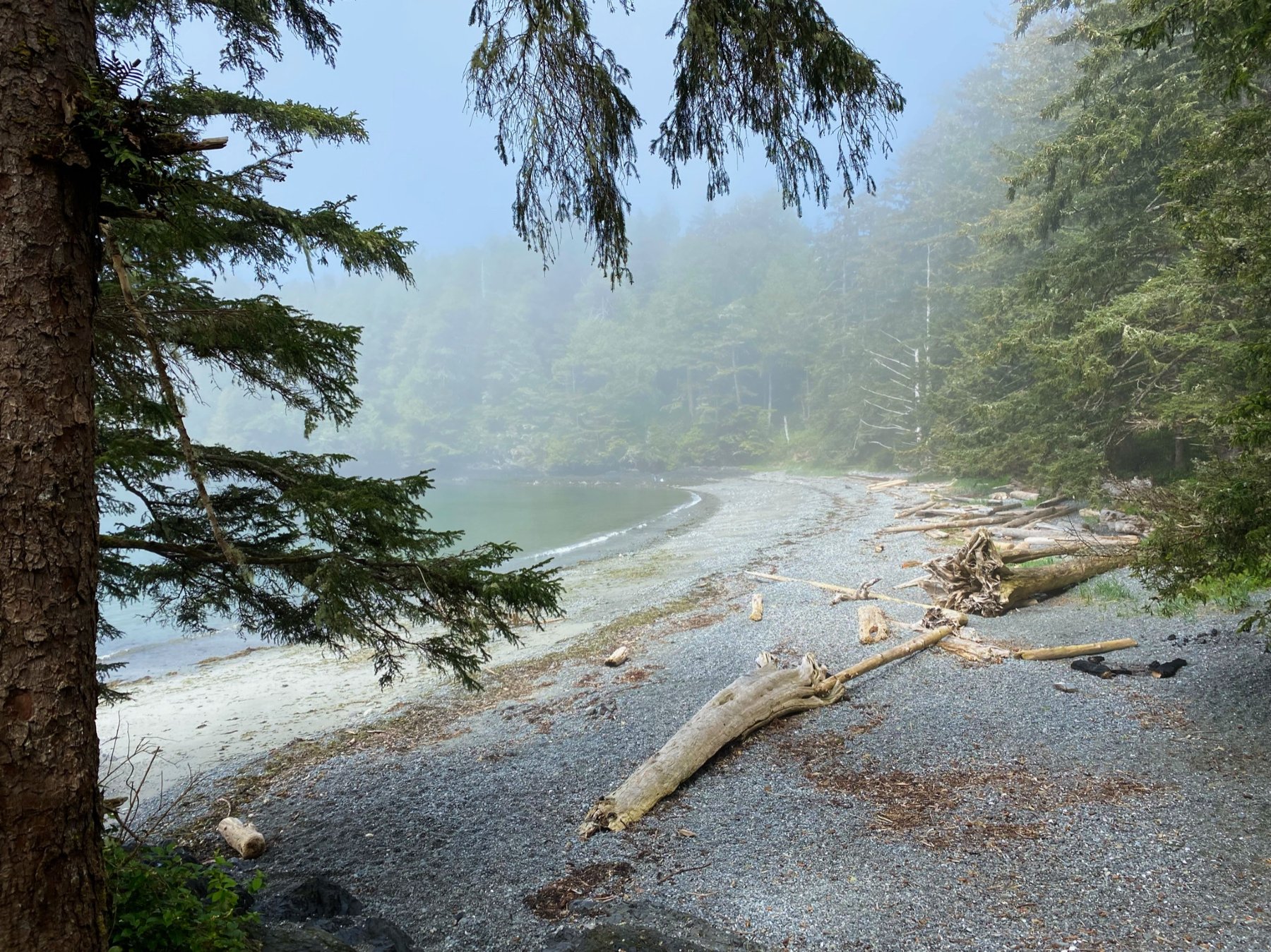
Setting out from the parking area, follow the path into the forest, where you will immediately reach a fork in the trail. Taking the optional route to the left will bring you down to the charming and secluded sands of Brown’s Beach. To follow the main trail, take the path to the right as it cuts through the trees and crosses over Odyssey Lane.
Keeping left at every junction, follow the trail as it hugs closely to the rugged shoreline and provides intermittent views across the blue waters of the Pacific. There will be many scenic viewpoints along this route, so take your time and explore as many as you can to get a proper feel and admiration for the natural beauty of this rugged landscape.
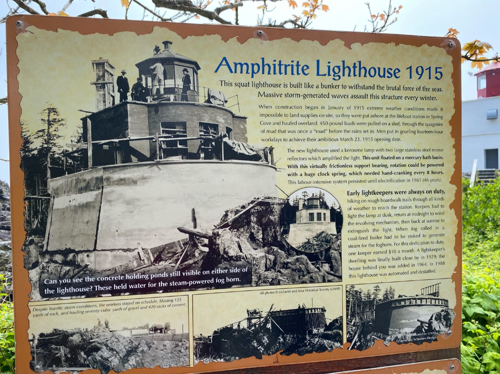
Roughly 1.6mi into the hike, the trail veers to the right and moves away from the shoreline, where it meets up with the Ancient Cedars Trail. At this point, hikers can turn back around to complete the return journey back towards Brown’s Beach. Remember to keep right at the junctions for the way back to both to stay on the correct path and take in the picturesque views from the opposite perspective. Once you’ve reached the trailhead, you can either return to your vehicle or head down to Brown’s Beach to enjoy the quiet beach area.
Insider Hints
Time your hike for the evening to experience a magical sunset over the ocean.
Combine this hike with a few hours at Brown’s Beach to enjoy the quiet waterside atmosphere.
Arrive early, as parking space is limited.,
Similar hikes to the Wild Pacific Trail hike

Green Point Trail to Combers Beach
The Green Point Trail to Combers Beach is a quick hike that will take you from the Green Point Campground…
Nuu Chah Nulth Trail
The Nuu Chah Nulth Trail is a 3.8mi out-and-back hiking route that sets out from the Kwisitis Visitor…
Shorepine Bog Trail
The Shorepine Bog Trail is a 0.5mi hiking loop that traverses a wooden boardwalk and provides an insight…
Comments