

Marsworth, Wilstone, and Tring Reservoir Walk
View PhotosMarsworth, Wilstone, and Tring Reservoir Walk
Difficulty Rating:
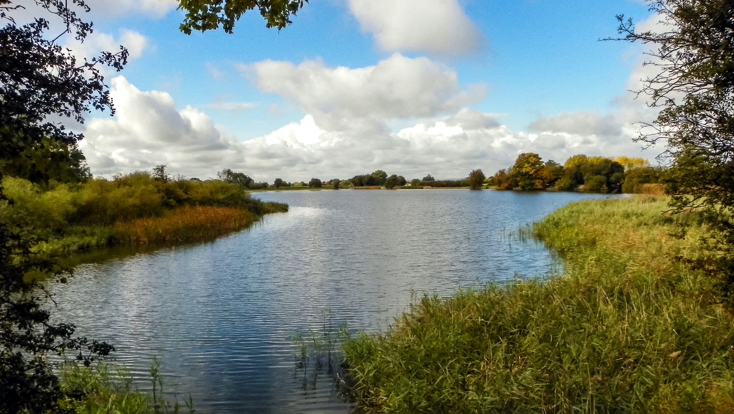
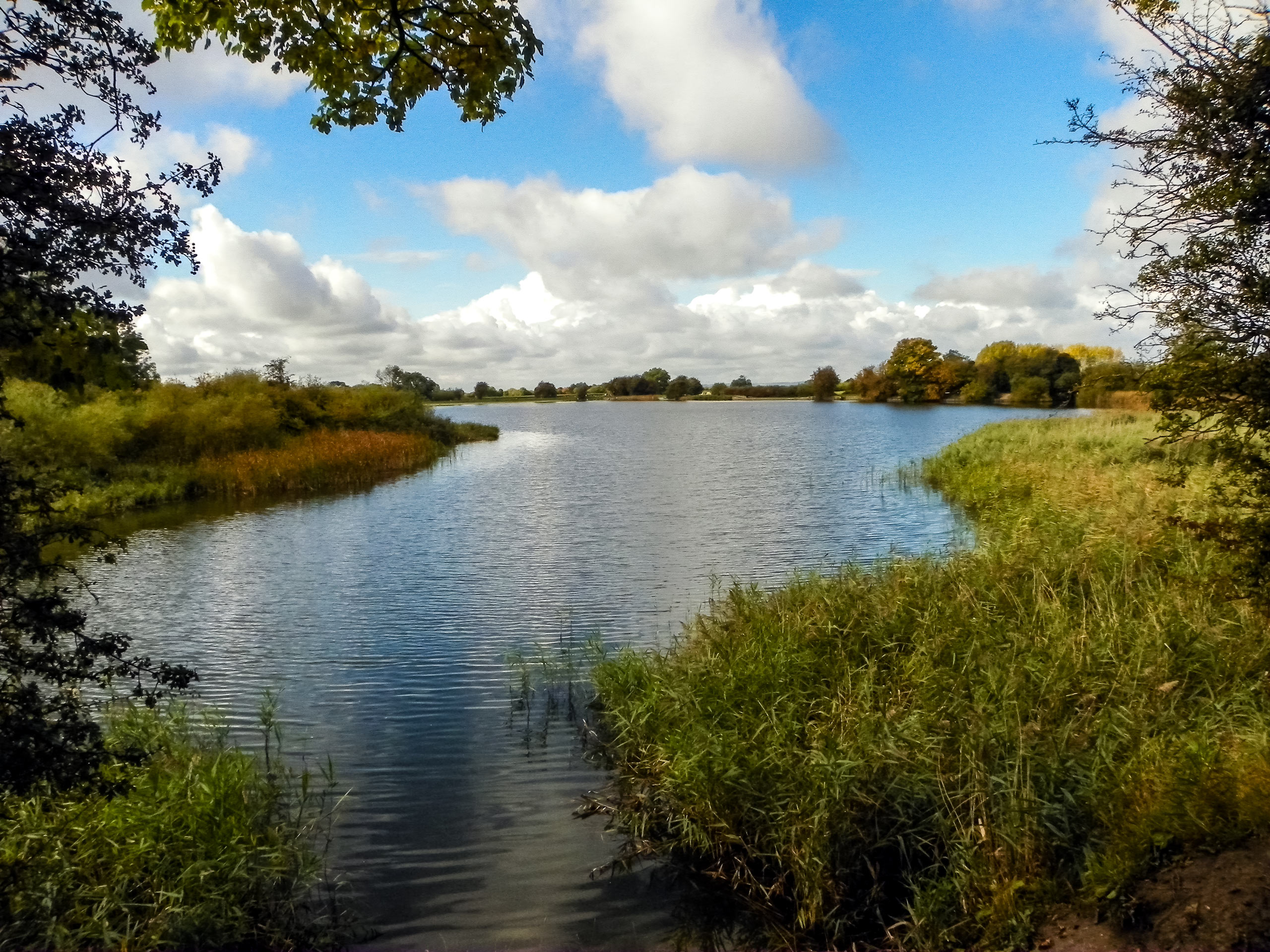
The Marsworth, Wilstone, and Tring Reservoir Walk is a lovely walk that immerses you in a relaxing setting by winding to four different reservoirs. Think of it as a natural version of bar hopping: reservoir hopping. The low elevation makes this walk suitable for all ages—it’s fun, and the different reservoirs and birds will keep you entertained!
Getting there
To get to the start of the Marsworth, Wilstone, and Tring Reservoir Walk, head to Tring and follow Tringford Road until you reach B489/Lower Icknield Way. Park at Statop’s End Car Park.
About
| When to do | Year round |
| Backcountry Campsites | No |
| Pets allowed | Yes - On Leash |
| Family friendly | Yes |
| Route Signage | Average |
| Crowd Levels | Moderate |
| Route Type | Circuit |
Marsworth, Wilstone, and Tring Reservoir Walk
Elevation Graph
Weather
Marsworth, Wilstone, and Tring Reservoir Walk Description
The Marsworth, Wilstone, and Tring Reservoir Walk is a lovely walk that takes you to four reservoirs! However, after rain, the path can get quite muddy, so wear proper footwear if this is the case.
On sunny days, this walk is a fantastic adventure for anyone looking to get outside. The low elevation, paired with the birds chirping and soothing setting, paints a picture of the perfect day. The Marsworth, Wilstone, and Tring Reservoir Walk’s varied scenery will keep everyone entertained! When you reach the Wildstone Reservoir, you’ll have the option to check out a bird hide.
From the car park, go towards the Marsworth Reservoir by heading up the canal towpath. Steer right to pass by a lock on your left. You’ll pass by seven! After you travel by an old lock-keepers cottage, you’ll arrive at the Top Lock. You’ll see a bridge crossing over the Wendover Arm of the Grand Union. Cross over it and down the towpath on the other side, doubling back.
Continue on the towpath until you get to another bridge. You’ll see a flour mill here. Cross the stile to head towards the towpath on the other side. The path gets a little rougher after the flour mill. Keep going until you arrive at a pumping station and stop gate, reaching another bridge. Take the steps and go right onto the road.
Descend along the road, passing a farm before you start to climb. Near the start of your ascent, you’ll see a fingerpost, which will direct you left and up along a track, leading to an open area. When you get here, go right back towards following the canal. Continue for 0.75 miles, heading towards an information sign about a former pumping station that used to be here. Shortly after, you’ll see a footpath to your right. Take it and go down some steps.
Pause to revel in the view of Wilstone Reservoir. Head downhill and follow the path as it bends around the corner of a field. Stay along the edge until you get to the top corner, where you’ll see a footpath on your right. Follow the steps and navigate a stile over a tiny brook before emerging onto grassland. Continue in the same direction, passing over another brook. After this, there is an option to go right to a bird hide about fifty yards away.
From here, the walk veers left, passing through trees before reaching the reservoir. Continue along the edge of the water. Stay with the water until the corner after the northwest corner, where you’ll go left to follow a path that leads to a road. Go right along here. This isn’t the main road!
The path will slant uphill before reaching a junction. Take a left onto Wiggles Lane, heading to Tringford Farm. Here, take a footpath on the other side to your right. Prepare to navigate two stiles before reaching a crossroads. Take a left, reaching the Tringford Reservoir. Follow the path along the bank until you arrive at the road. Cross it and go left to head towards the Startops Reservoir, which is the fourth one of this walk. When you reach the corner, veer right to stay walking along the water. At the next corner, head up some steps, which will lead you to the car park.
Other amazing walks in Chiltern Hills
Check out our guides to Wendover Loop, Wendover Woods, Dunstable Downs, Hurley Loop or The Rose and Crown Ivinghoe Beacon Walk. Or see all of our Chiltern Hills walks on 10Adventures.
Insider Hints
Check out the tea rooms near the parking lot
Take up the option to check out the bird hide at Wilstone Reservoir
Similar hikes to the Marsworth, Wilstone, and Tring Reservoir Walk hike

Bledlow Great Wood and Radnage Walk
The Bledlow Great Wood and Radnage Walk may be a long walk, but the ever-changing scenery will keep you well…

Loddon Brewery and Chilterns Boundary Walk
Revel in quintessential English countryside views, contrasted with red kites floating in the sky, a lovely church, and views of…

Great Cookshall Wood Walk
Travel through a shaded, woodland setting on the Great Cookshall Wood Walk, a 5.6mi circular route that starts…


Comments