The Malerweg in Germany is a circular multi-day hike leading through the stark sandstone rock formations of Germany’s “Sächsische Schweiz”, or Saxon Switzerland, a national park which has been popular amongst hikers, climbers and painters for centuries.
THE BASICS OF THE MALERWEG HIKE
The 8-day Malerweg hike in Germany is a wonderful trek. It takes its name (meaning “the Painter’s Way”) from the 18th century landscape artists who sought it out for its dramatic, romantic vistas. Then as now, this hike features spectacular views, varied terrains, as well as comfortable accommodation in quaint guest houses and bed and breakfasts for the modern-day hiker. Easy to moderate in difficulty, the Malerweg is manageable for most casual hikers, and an ideal tour to discover the beauty, variety and culture of Germany’s Saxon Switzerland.
Closest Major City: Dresden, Germany
Start: Liebesthaler Grund, Pirna
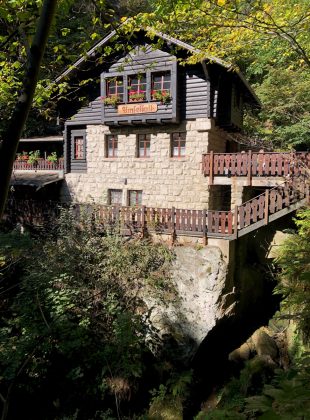
Accommodations: B & B’s, guest houses, one bunk house
Costs: Travel from Berlin and accommodation €500
Length: 8 Days Walking + Travel days
When to Go: March through October
This hike is pretty accessible with German public transport. Head to Dresden in Saxony before making your way to the small town of Pirna, enjoying the historic city center, the evening before you start your hike. The hike’s starting point is the Liebesthaler Grund, a 15-minute bus ride from Pirna.
The walking along this trail is straightforward with some strenuous sections, with gradual to steep ascents taking you up and down around 1969ft on most days. But all good views must be earned, and rest assured that these are worth it.
The hike is popular in Germany and can get quite busy, especially during school holidays and the autumn, when this walk is highly recommended to enjoy its stunning fall colours. Whichever month you choose to go, most hikers walk the route from Saturday to Saturday, so you’ll find the route a lot less busy if you start mid-week. Either way, do make sure to book your accommodation well in advance as rooms along the route quickly fill up.
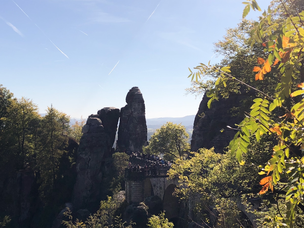
The route is divided into 8 stages, which lead from one small town to another, passing iconic sights including the (sadly extremely touristic) Bastei Bridge, along the way. The route is signposted with a red M on a white background, but navigation can get tricky in places. I recommend Hike Line’s Malerweg walking guide which seemed one of the most reliable on the route, leading to me becoming a go-to map resource to other hikers with less detailed descriptions.
MALERWEG TRAIL INFO
The Malerweg is a moderate trail to hike, and can be completed without too much difficulty by most day hikers: along the route I met hikers between the ages of 13 and 65.
The climate on the Malerweg hike is mild and accommodating, requiring no special gear you wouldn’t normally use on a European day walk. I found mornings quite chilly in October and was grateful for my base layers, but felt comfortable in leggings, a merino hiking top, mid-layer jacket and raincoat for the rest of the day. The tops of hills can get windy, so make sure you’re wrapped up warm and have a good raincoat, and you’re good to go. I also wore trail running shoes and was very happy with them – they’re lighter than hiking boots and the terrain was mostly even, so there’s no need for extra ankle support. You’ll need a sleeping bag liner to stay in the alpine hut-style accommodation at Neumannmühle, the most remote stage of the trail. It’s also recommended to take cash to pay for accommodations en route, as most aren’t paid for in advance.
The walk includes some tight passages between rocks, as well as ladders and metal steps, which make a large backpack very awkward to carry on route. I’d recommend that you either pack light and bring a 35L backpack for the whole route, or use baggage transfer companies and walk with a smaller day pack, if you prefer a lighter load.
The Malerweg Route
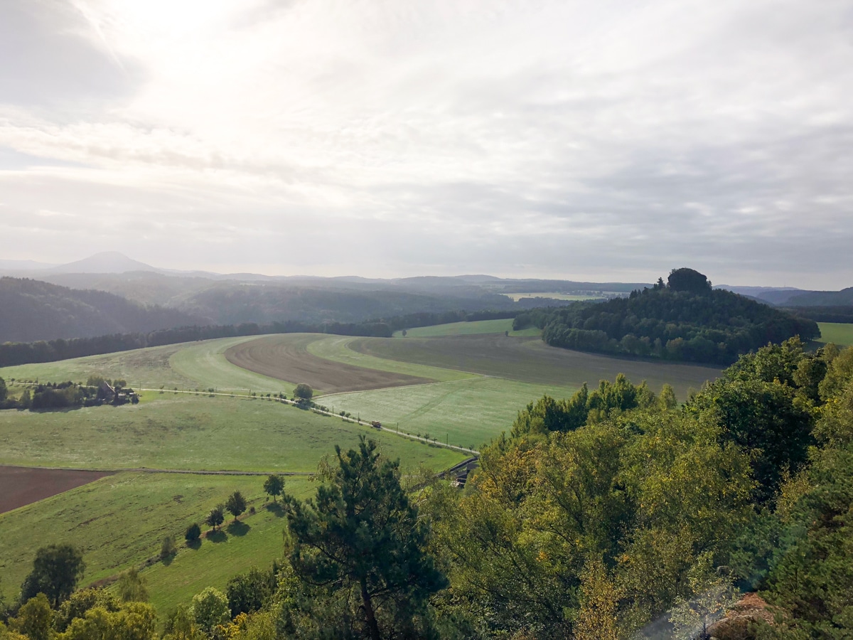
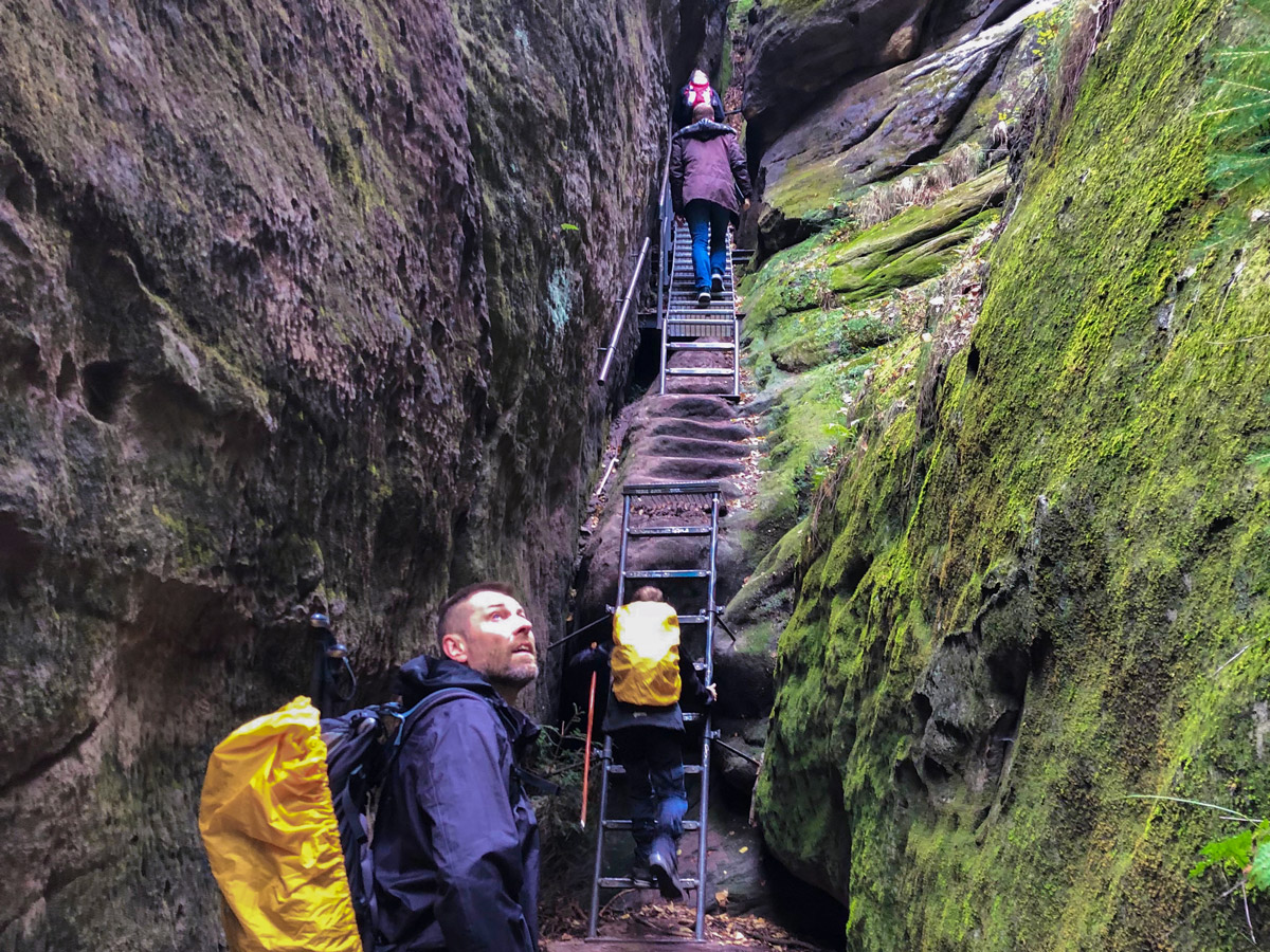
The trail leads east from Liebesthaler Grund into the more remote sections of the Elbsandstein mountain range. Heading east for the first five days along the north side of the Elbe river, the first section of the trail is the most naturally spectacular.
The Bastei Bridge on the second day of the hike is the most popular sight along the trail, but no less rewarding than the Hockstein, which boasts spectacular views from the top of a sharp spire (thankfully with a small bannister to hold on to), and a 508-step staircase THROUGH a rock called the Wolfsschlucht, or wolf’s ravine. If that isn’t enough to get your blood pumping, you can read about a local ghost story about this rock at the Polenztal Guesthouse.
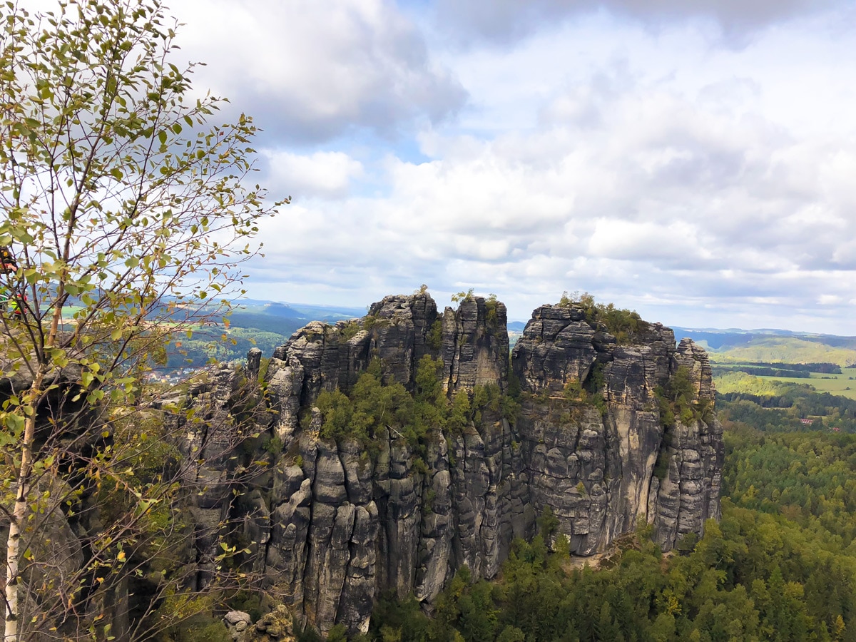
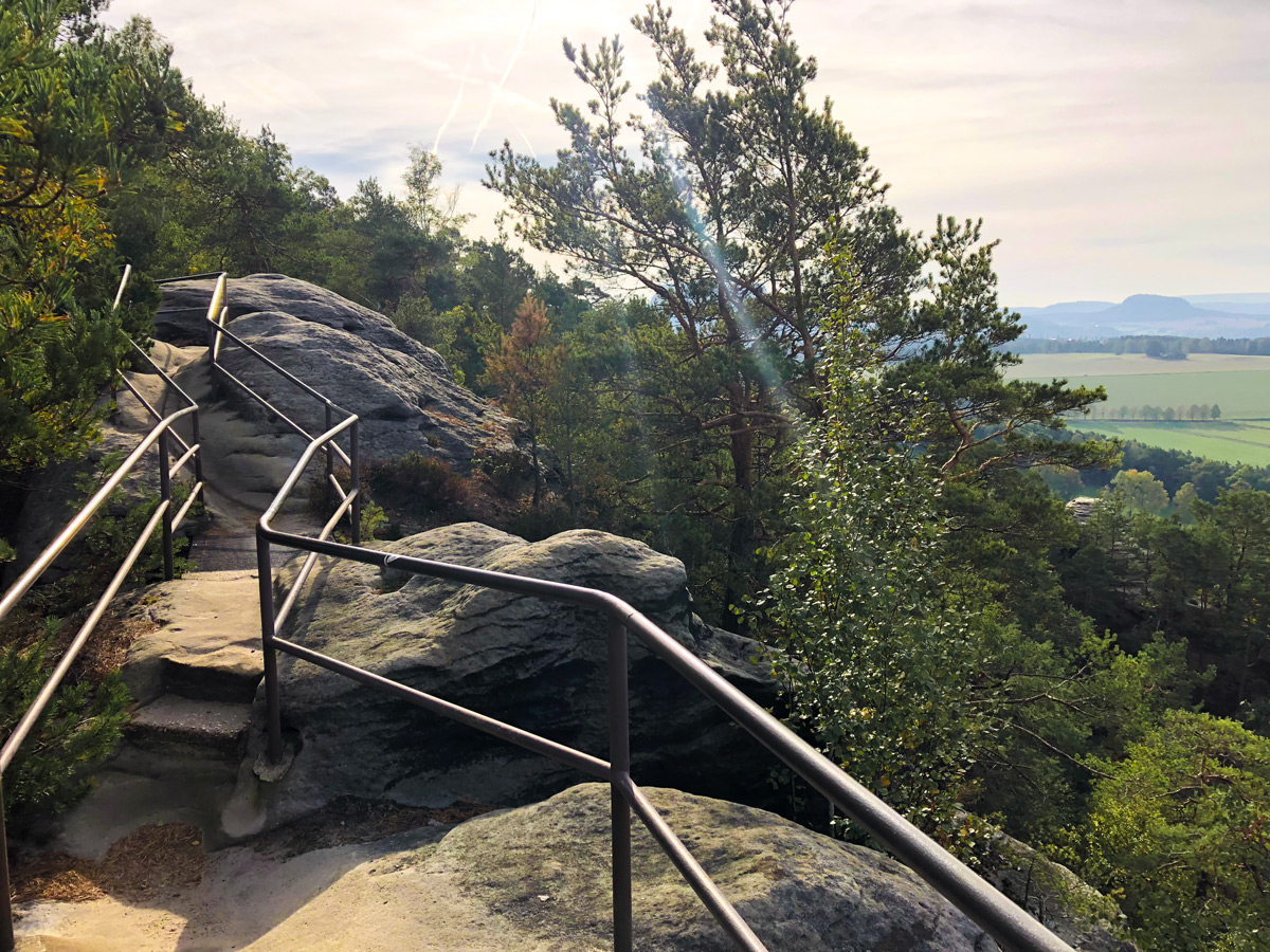
The next stages of the hike lead to big open views across the Elbe and up to the top of the Schrammsteine, a huge rock formation viewed from the top of a 1312ft-high plateau. This section offers some of the most fun walking on the trail with characteristic metal steps, ladders and handrails going up and down steep sandstone rocks. I’m not a huge fan of heights personally, but these sections were some of the most exhilarating on the trek.
Malerweg trail map
The Neumannmühle marks the end of Stage 4, and its hut in an inviting rest stop for hikers along the route. Similar to Alpine huts, it offers sleeping accommodation for up to 30 people in a simple dormitory. You’ll also share a warm, hearty meal with new friends from the trail and swap stories of your walk so far.
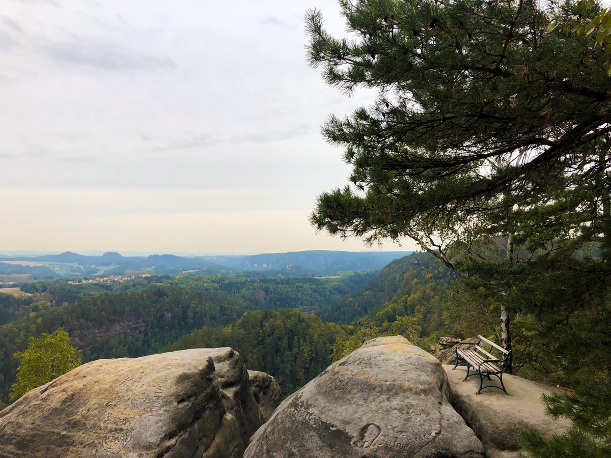
From the gorgeous village of Schmilka, right on the Czech border after Stage 5, it’s a short ferry ride across the Elbe before starting the walk back out of the Sächsische Schweiz, and beginning your walk back towards Pirna. The southern section of the Malerweg is flatter than its first five stages, with fewer peaks to climb, some of which are slightly off-route. Even though after five days of near-constant up and down your legs may be saying otherwise, these extra peaks are not to be missed. From the Kaiserkrone you can see across the Elbe valley you’ve just walked through, with a magnificent view of the Zirkelstein. Here, you’ll also be tracing the steps of Caspar David Friedrich, and learn more about his most famous painting.
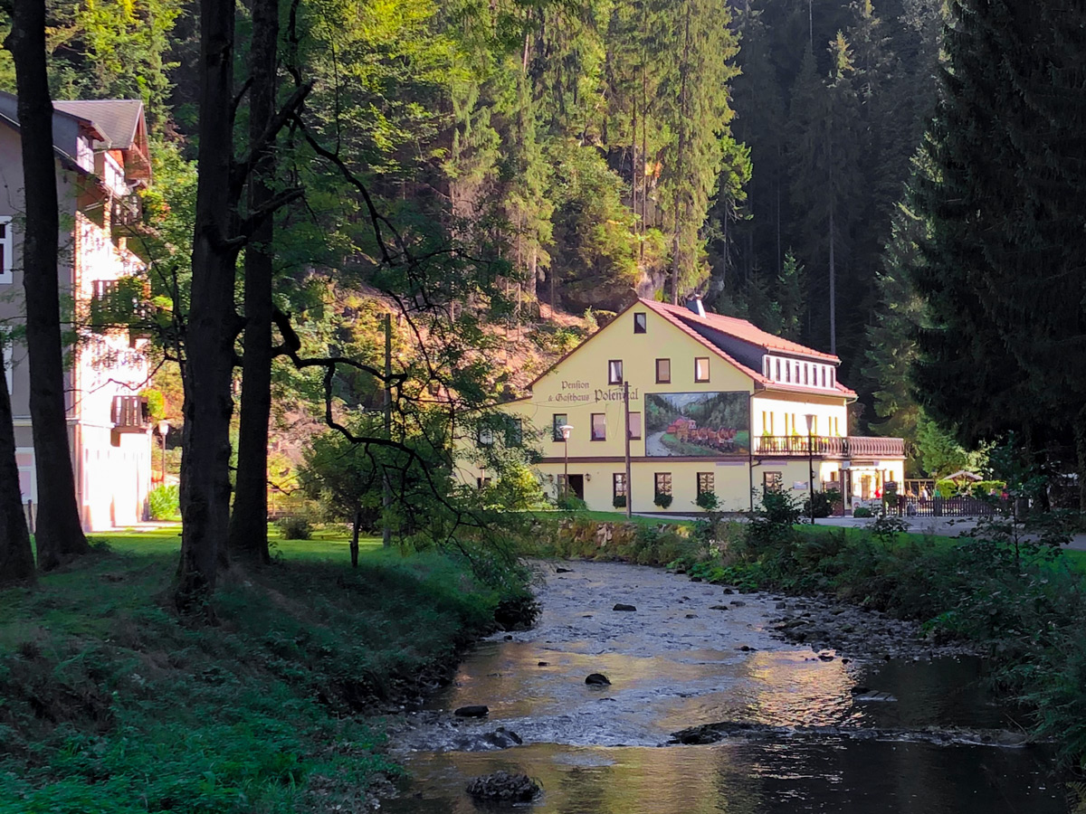
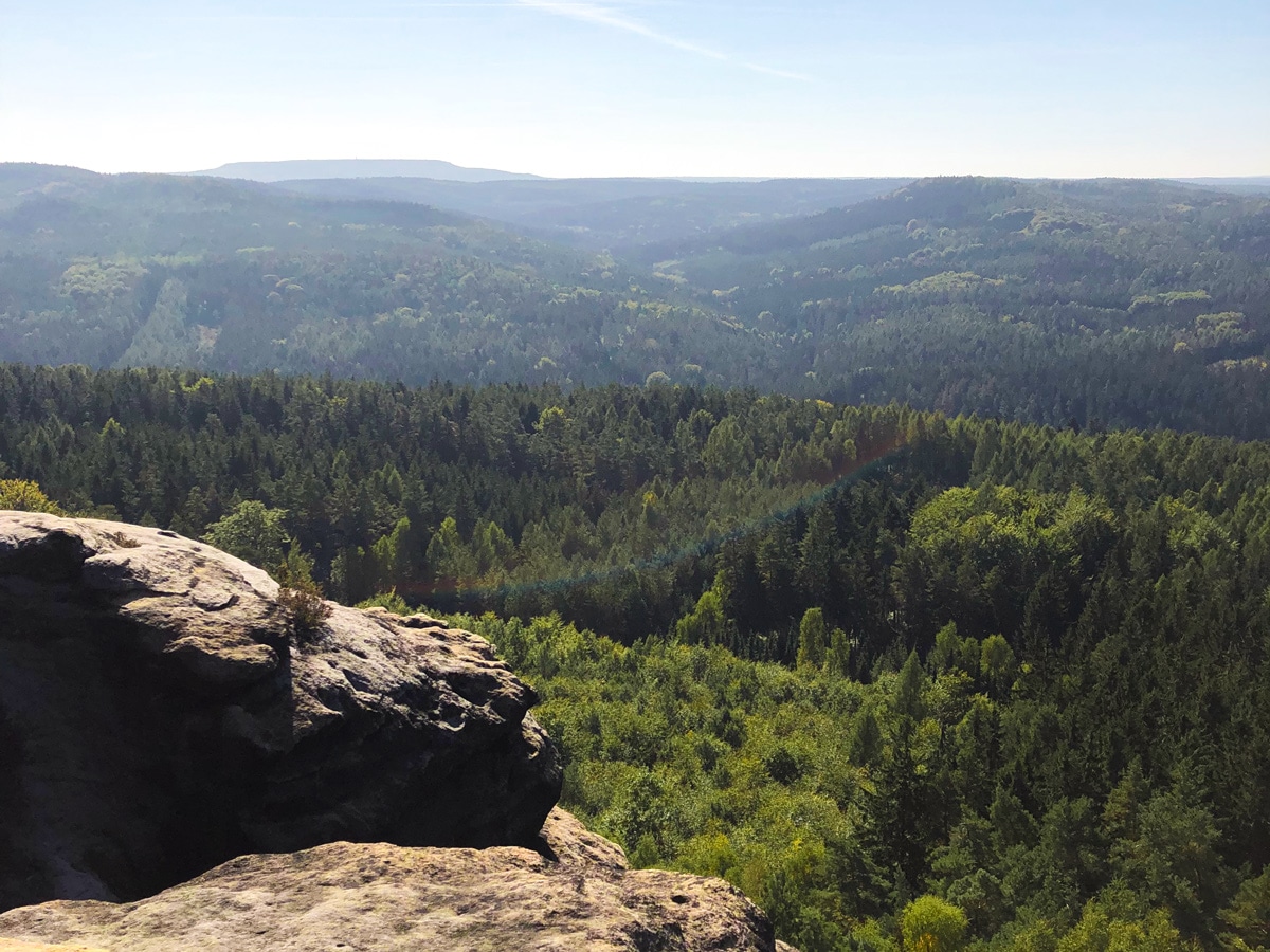
The remaining sections of the walk lead through pastoral fields and up two more steep sections. The Papststein is an absolute killer on the legs, but tired walkers are soon rewarded at a restaurant on the top of the hill, which serves a German specialty called Käsespätzle – a dish of cheesy goodness as filling and satisfying as they come. The eighth and final section is a small “best-of” of the Malerweg with final dizzying metal bridges over the tops of dainty sandstone peaks, fields and woods, and a long final stretch along the Elbe River back to Pirna’s town centre.
MALERWEG ITINERARY
Day 1
7.1mi, 4 hours. Up 699ft, down 823ft
Start: Liebethal
Finish: Stadt Wehlen
Route: A lush introduction to the sandstone rocks of the region, the hike starts off gently but with first glimpses of fairytale-like valleys. The Uttewalder Grund, halfway through the section, is known as one of the most beautiful valleys of Saxon Switzerland. The section finishes with a beautiful view of Stadt Wehlen.
Day 2
8.2mi, 5 hours. Up 1647ft, down 1053ft
Start: Stadt Wehlen
Finish: Hohnstein
Route: Now firmly inside the national park of Saxon Switzerland, this section crosses the Bastei Bridge, the most famous tourist site in the region. From there hikers descend to Amselgrund and Rathewalde, where open landscapes await. The section finishes after the Hockstein.
Day 3
7.3mi, 5 hours. Up 1680ft, down 1522ft
Start: Hohnstein
Finish: Altendorf
Route: An even approach to the Brand, which offers famous views across the Elbe valley and a hearty meal. From there through fields with some climbs to Altendorf.
Day 4
8.5mi, 7 hours. Up 2192ft, down 2470ft
Start: Altendorf
Finish: Neumannmühle
Route: A gradual climb up to the Schrammstein viewpoints, with handrails, metal ladders and stairs to climb. From there a largely isolated walk to the Kuhstall, a natural gap under a massive rock used for herding cows. The Lichtenhainer waterfall is another highlight on this stage.
Day 5
8.5mi, 6 hours. Up 2188ft, down 2441ft
Start: Neumannmühle
Finish: Schmilka
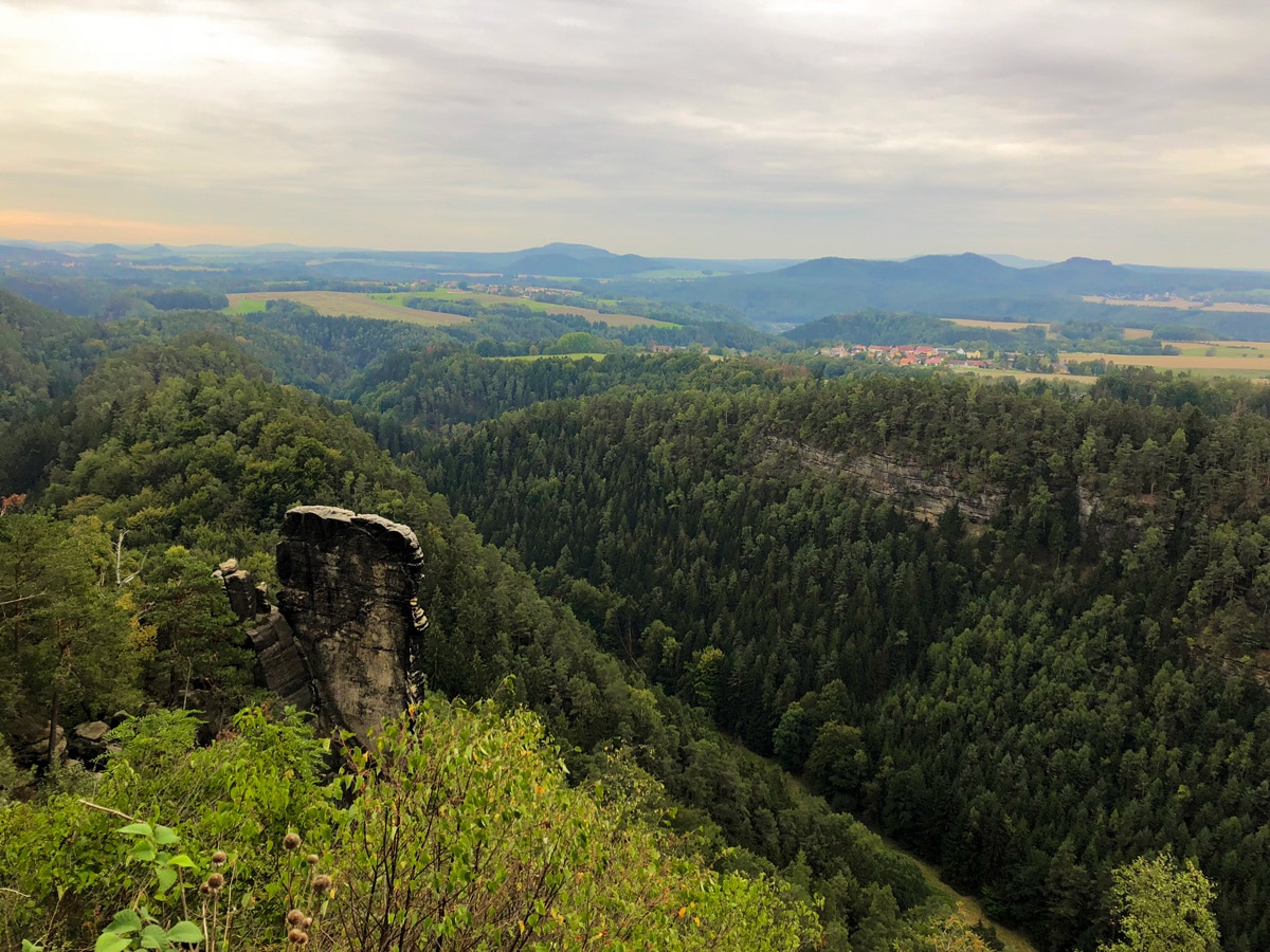
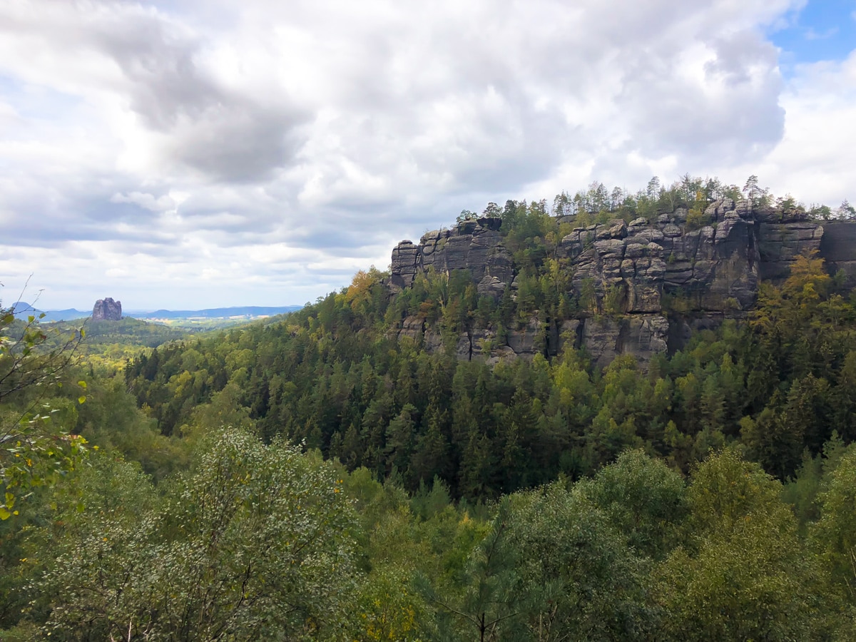
Route: A remote, wooded section with viewpoints back along the Elbe Valley. An additional walk into the Czech Republic to visit the Prebischtor, Europe’s largest natural sandstone bridge, is possible from Schmilka.
Day 6
10.4mi, 6.5 hours. Up 2300ft, down 1654ft
Start: Schmilka
Finish: Gohrisch
Route: After a boat ride across the Elbe, there’s a steep climb to the Kaiserkrone. From there the route takes you through the villages of Schöna and Reinhartsdorf.
Day 7
9.6mi, 6 hours. Up 1818ft, down 2146ft
Start: Gohrisch
Finish: Weißig
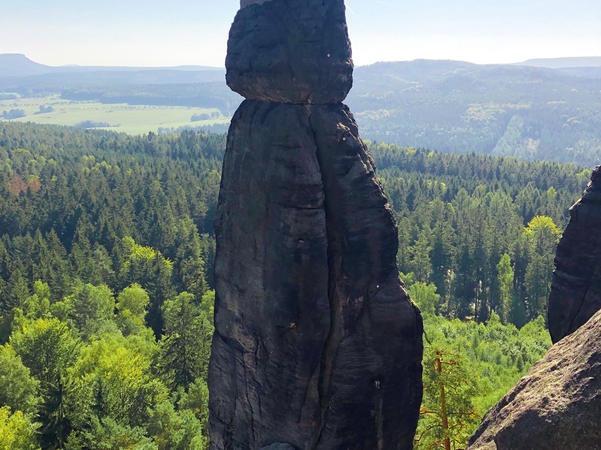
Route: The second to last section passes the Pfaffenstein, which offers iconic views of the Barbarine, a 138ft high rock spire. A final descent leads to Königstein, followed by the town of Thürmsdorf.
Day 8
7.7mi, 5 hours. Up 1155ft, down 1788ft
Start: Weißig
Finish: Pirna
Route: The Rauenstein offers a last sweeping view of Saxon Switzerland. The route passes through villages of Naundorf before a long final section along the rover Elbe back to Pirna.
EATING ON THE MALERWEG TREK
German cooking is known for its hearty dishes, and Saxony serves up German food at its heartiest. That means carbs, carbs and some more carbs. Breakfasts in guesthouses are usually fresh bread rolls (Brötchen in German) with meats and cheeses, jams and a boiled egg or two. There are lunch spots along the route to be found on most days, and most guest houses happily provided a packed lunch for a small fee (ca €5) when I asked for one. But the most popular mid-hike stop proved to be coffee and cake for walkers! Dinners at guest houses varied from local meaty stews, dumplings, or other typical German meals such as Schnitzel and fries. Vegetarian options were often limited but available in all places I visited.
Supermarkets were sparse along the route, so bringing your own snack bars before starting your hike is recommended. German tap water is drinkable so you can easily refill your water bottles in your room before setting off each morning.

Comments