


Pocaterra XC Ski Trail
View PhotosPocaterra XC Ski Trail
Difficulty Rating:
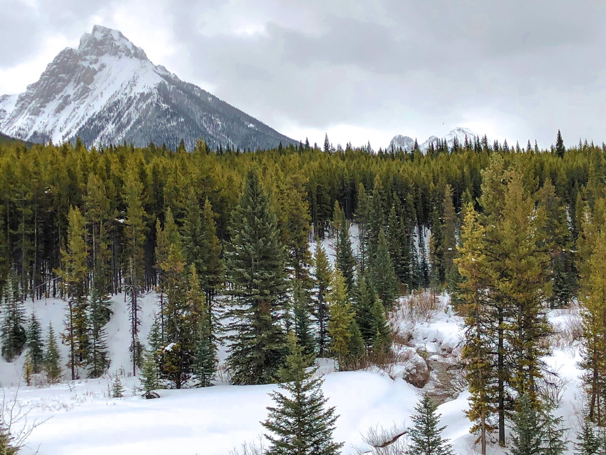
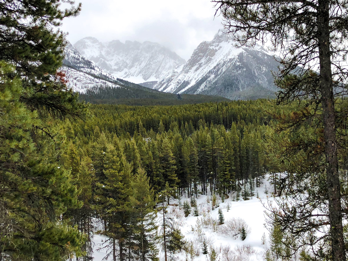
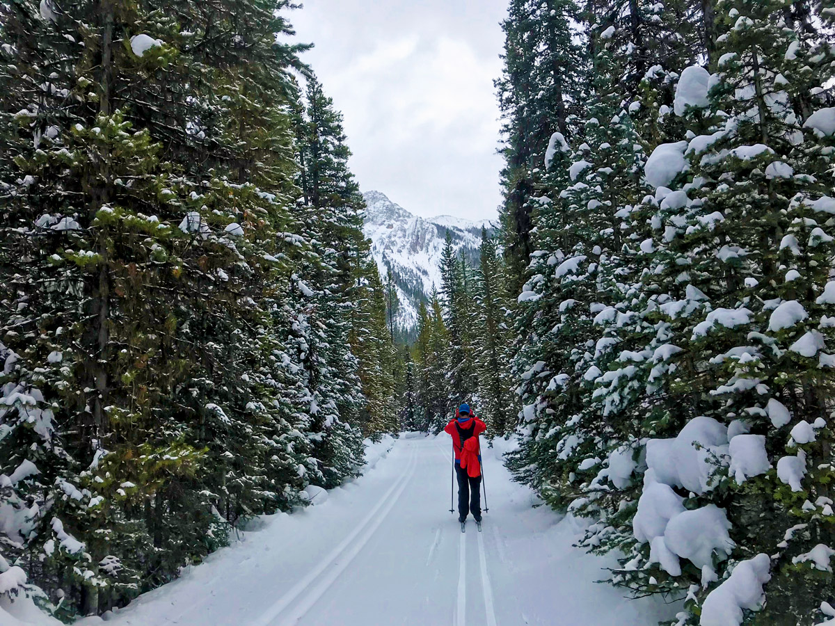
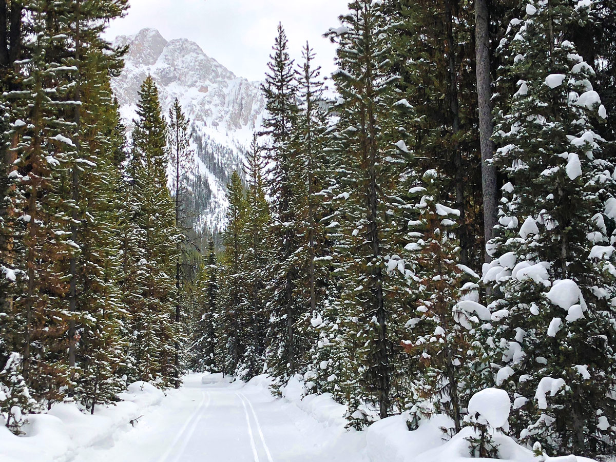
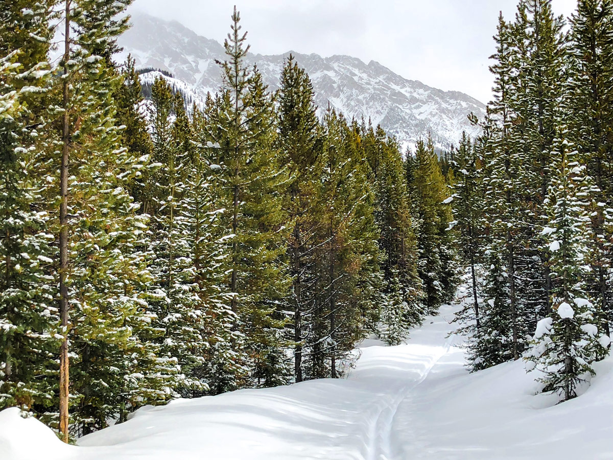
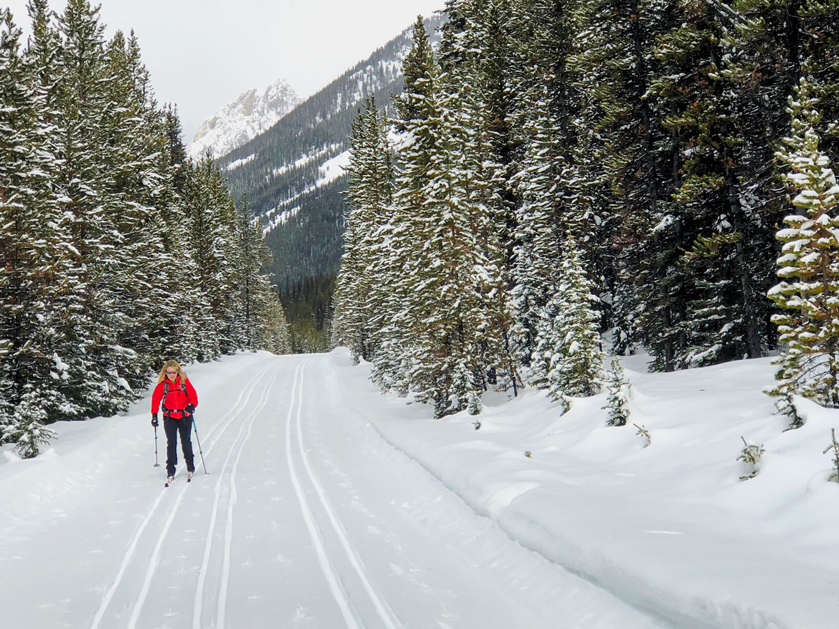
The Pocaterra cross-country ski area in Peter Lougheed Provincial Park has some of the best snow in the Kananaskis region. While we have shared our favourite XC ski loop, there are plenty of easier loops to do in the area that are both shorter and with less elevation gain.
Getting there
Take Highway 40 south from the TransCanada to the Winter gate. Go right here and go down the hill for 1.4mi, where you take a signed left for Pocaterra, after a bridge. Park in the Pocaterra parking lot.
About
| When to do | Mid-November to April |
| Backcountry Campsites | No |
| Toilets | At trailhead |
| Pets allowed | No |
| Avalanche Risk | None |
| Family friendly | Yes |
| Route Signage | Average |
| Crowd Levels | Moderate |
| Route Type | Circuit |
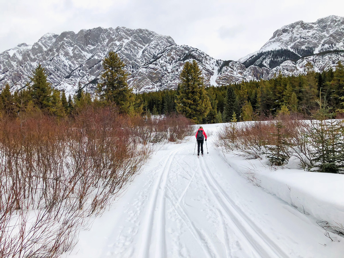
| Type of XC Route | Double Track-set |
Pocaterra
Elevation Graph
Weather
Route Description for Pocaterra
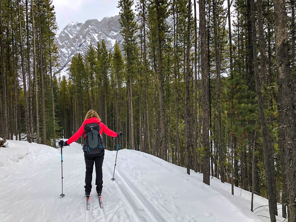
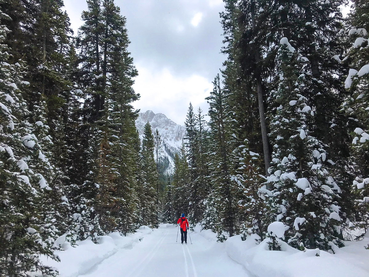
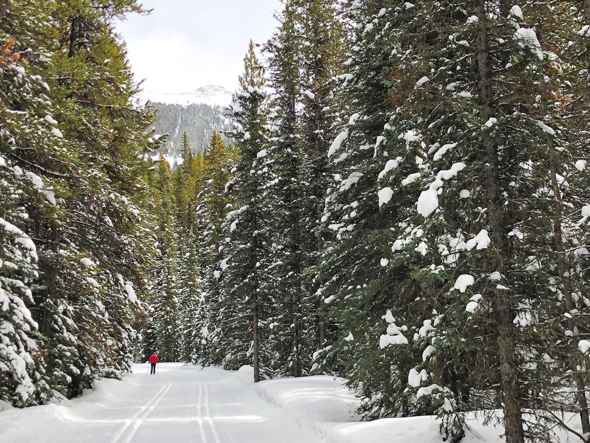
The Pocaterra area is a great place for cross-country skiing in Kananaskis. There are a wide variety of trails here, and they cater to everybody from a beginner to a more advanced cross-country skier.
There is also a nice warming hut at Pocaterra, right by the parking lot. This is a nice, clean facility, suitable for getting changed in a warm area or a place to have a meal after your ski. It is a very nice feature, but can get busy on weekends.
Before we start, we should mention that the naming of trails in Pocaterra can be confusing and inconsistent. The signs and info put out by Alberta Parks is good, however 3rd party sites like Google have inconsistent naming. As an overview, and based on the most recent signs on the trail, this route goes out (south) on Pocaterra all the way to a junction with Whiskeyjack, where it comes down (west) and connects with Wheeler. It comes back (north) along Wheeler and then Braille.
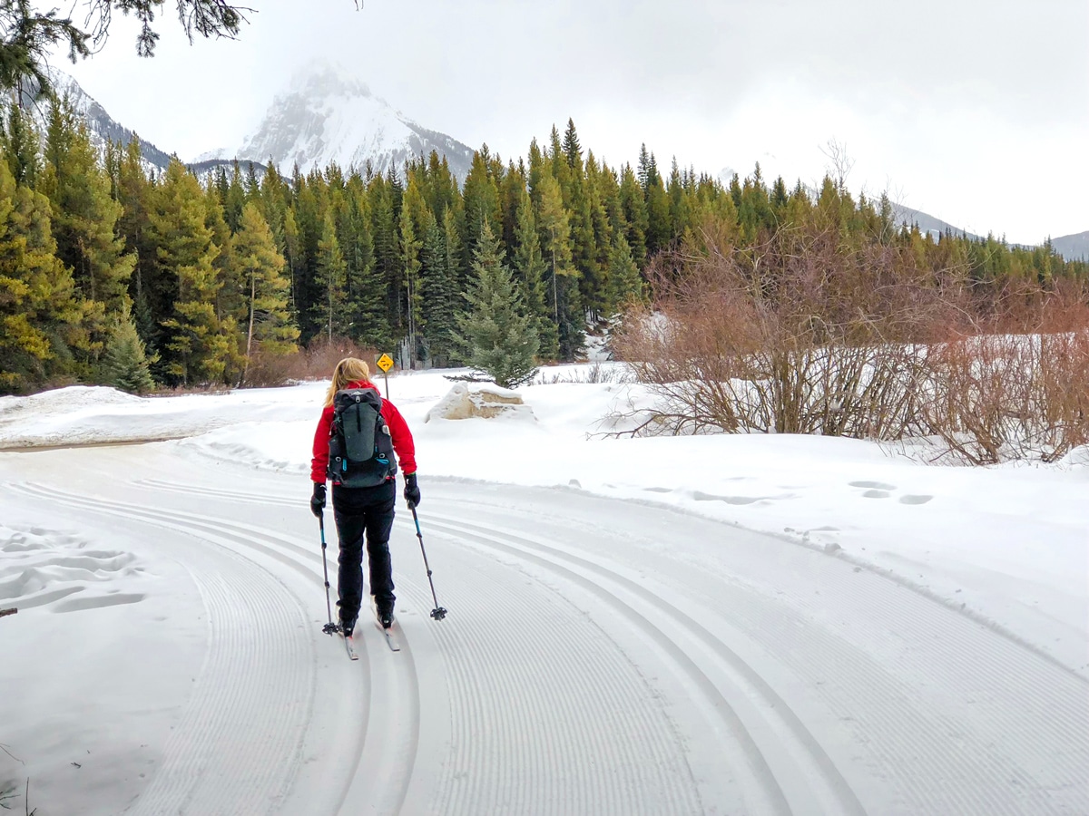
To head out on our favourite route, from the parking lot ski past the Pocaterra warming hut (it is on your right) and then head over to a junction with another trail. Go left and start on the Blue Pocaterra Trail. This trail roughly parallels the closed section of Highway 40, which is about 1640ft to your left as you’re skiing.
The trail you are on splits soon after, and we take the left-hand trail (technically called Come Along). In about 0.6mi the trails reconnect, and go left again, now officially back on Pocaterra. Don’t worry about which trail you take here, as they both reconnect again and turn into a single trail. On some signs this trail is shown as Pocaterra Hut to Lynx trail.
Roughly 2.8mi after leaving the parking lot you come to a junction. This is an important junction, as you can choose a short day or a long day. If you want a short day go right onto Lynx, but our route shows the long day, so we go left staying on Pocaterra (a blue trail).
You quickly pass over Spotted Wolf Creek and then go right, and have a 3.1mi ascent to the Whiskey Jack junction, passing the Packers junction along the way. If you’re feeling tired take the Packers junction, as it saves 2.2mi and about 328ft of ascent.
Once you get to the Whiskey Jack junction you have a fun descent. Go right and descend the Whiskey Jack trail. If there’s been recent snow, then the descent can be soft and easy to control. If it’s been a while since snow, then the descent gets a lot more difficult in places. You have a 2.1mi descent, which goes down about 656ft, going beside the Boulton Campground along the way.
By the campground you come to a junction with the Wheeler trail. Go right onto Wheeler and cross over a road and continue on Wheeler.
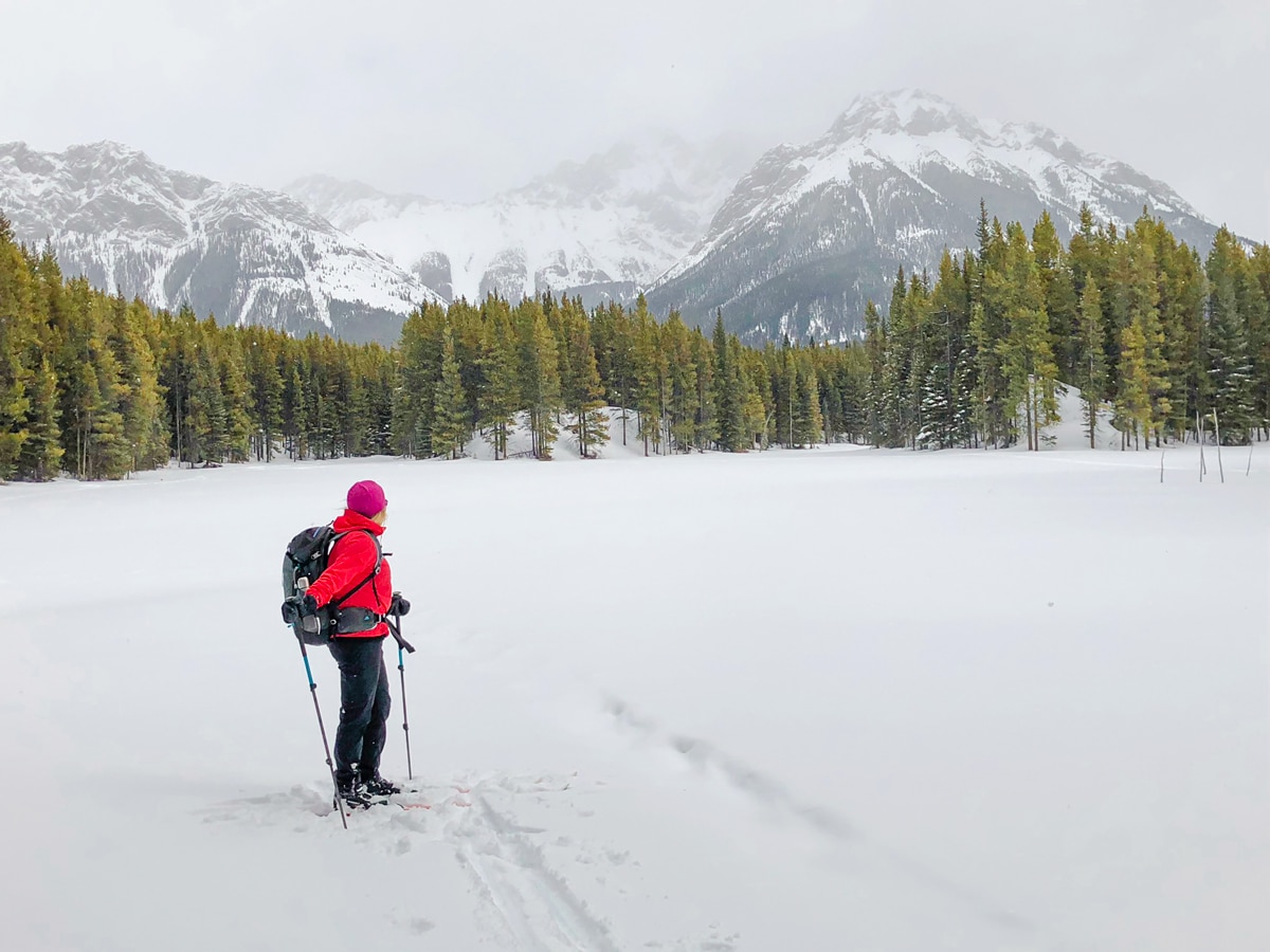
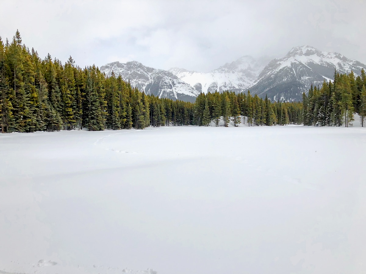
After 0.9mi you come to a junction. You can go right onto Amos, but we like the views from Wheeler and also the visit to Marl Lake, which has a very nice view. After Marl Lake you will reconnect with the Amos trail.
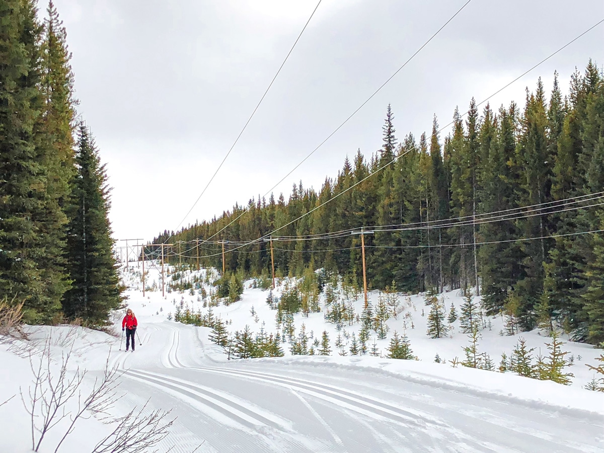
At the following junction you have a choice, take a right and take the blue Meadow trail back to the parking lot or else go straight and cross the main road and descend on the other side. Our route has us going straight and then crossing the road 656ft later on. Soon after crossing the road we go right at the junction and that leads onto Braille, a wide utility corridor, where we go right.
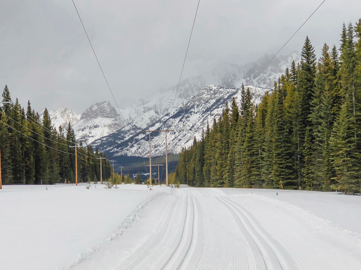
Follow the wide Braille for 1.7mi as you descend 328ft all the way down, eventually taking a right by a utility station. Cross the main road here and walk into Pocaterra parking lot.
Congratulations on a wonderful day cross-country skiing at Pocaterra.
Insider Hints
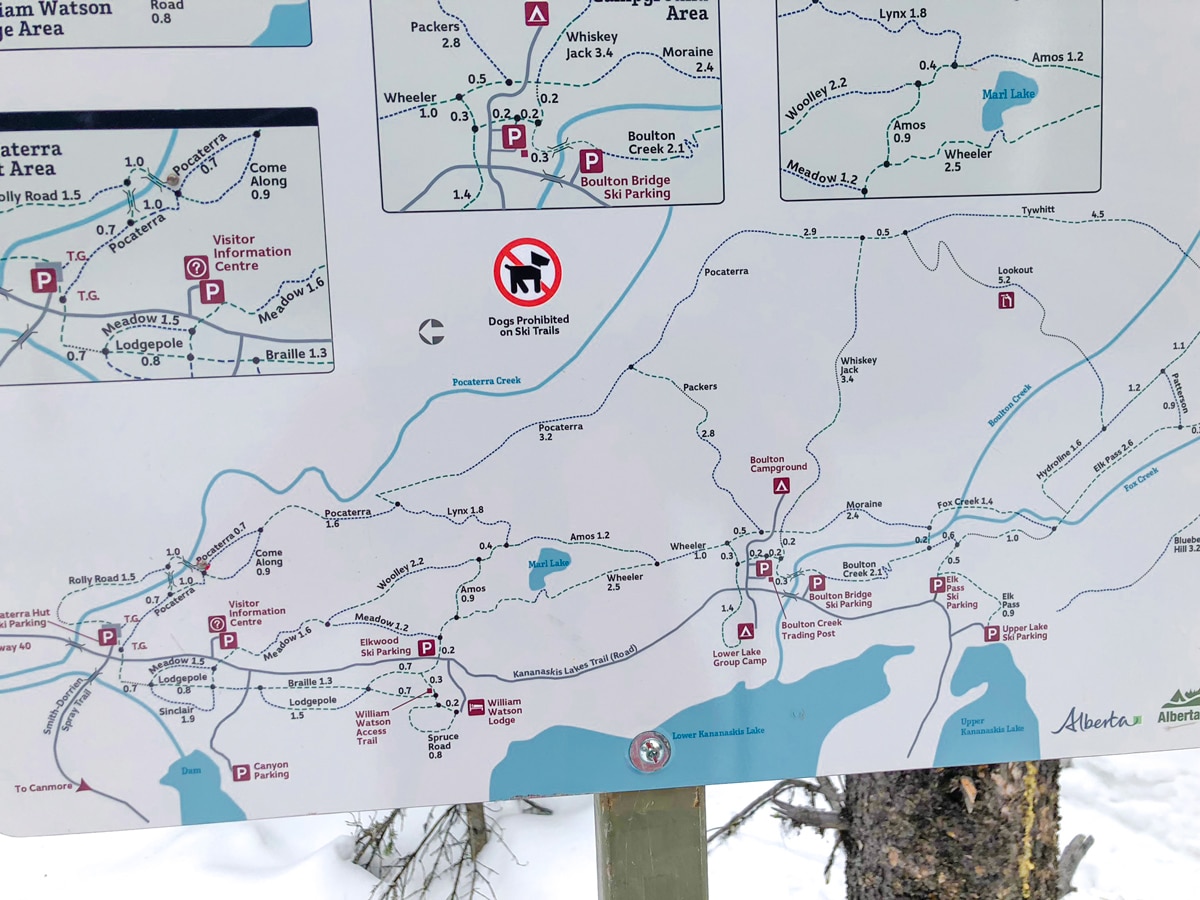
We share a map of the various trails in the photos for this cross-country ski. There are a lot of variants that can be much shorter and easier.
Since you are here, drive south on Kananaskis Lakes Trail to the Upper Kananaskis Day Use Area for some stunning views of Upper Kananaskis Lake and the surrounding mountains.
This area is pretty isolated, with the only food/gas/drinks at the Fortress Junction Service Station, back on Highway 40, about halfway to Nakiska.
Bring a lunch and enjoy the wonderful Pocaterra Hut. There’s even a fireplace there!
Similar XC Ski Trails to the Pocaterra XC Ski Trail
Canmore Nordic Centre
We love to cross-country ski at Canmore Nordic Centre. The trails are usually in great condition and there are so…
Ribbon Creek
We love to ski at Ribbon Creek when conditions are good. This is some of the closest cross-country skiing to…
West Bragg Creek
The West Bragg Creek cross-country ski trails are an outstanding network of XC ski trails a short drive from Calgary.…


oskareglq 5 years ago
Top-notch hike! It's nice to see the attractions from above. I was fascinated by the scenic view of Elbow lake and the expansive forest.
Chichi Uyi 5 years ago
couldn't care less about the strenuous hike. it was amazing.
kelsih_99 6 years ago
loooove it! too good in the fall! best if you bring two cars. we did get a teeny bit lost on the way down.
Ermengard Q. 6 years ago
It was outstanding. Would like to know how it would look like in autumn!