


High Divide Loop hike
View PhotosHigh Divide Loop hike
Difficulty Rating:
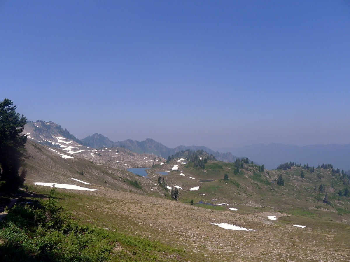
A classic full day hike along one of the most beautiful continuous ridgelines in the park. All the time spent above tree line on the High Divide Trail yields some of the greatest views of Mt Olympus the park has to offer!
Getting there
The trail begins from the Sol Due Trailhead. From Port Angeles go west on US-101 west for 28.0mi. Past Lake Present turn left on Sol Duc Hot Springs Rd, signs for Sol Duc Campground. Follow for 13.8mi until you find a parking lot.
About
| When to do | July through September |
| Backcountry Campsites | Yes, there are campsites along the High Divide Loop. |
| Toilets | Yes, at trailhead. |
| Family friendly | No |
| Route Signage | Average |
| Crowd Levels | Moderate |
| Route Type | Lollipop |
High Divide Loop
Elevation Graph
Weather
Route Description for High Divide Loop
We recommend completing the loop clockwise as it then saves the greatest views for later on in the hike. This will help to keep you motivated late in the day! With that being said, head down the trail from the parking area, following signs for Sol Duc Falls.
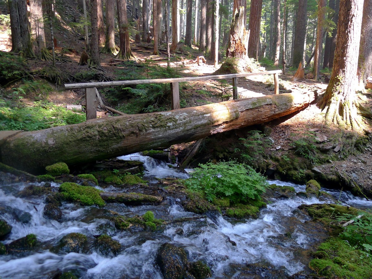
After approximately 20-30 minutes you will come to a signposted Y junction, just before a small rest shelter. You’ll want to turn left towards Appleton Pass along the Sol Duc River Trail. This path slowly gains elevation as it follows beside the Sol Duc River. You will maneuver through an incredibly lush temperate rainforest as you hike.
After approximately 5.5mi you will reach a junction with the Appleton Pass Trail, where you will stay right to continue along the Sol Duc River Trail. Past this junction the trail will keep on gaining elevation. The higher you go the less lush the forest will become. Eventually the trail will veer to the right (south), and you will begin to switchback.
After passing the Upper Sol Duc Bridge campground you will begin to see the mountains. Soon you will exit the forest completely and find yourself in a beautiful high alpine bowl.
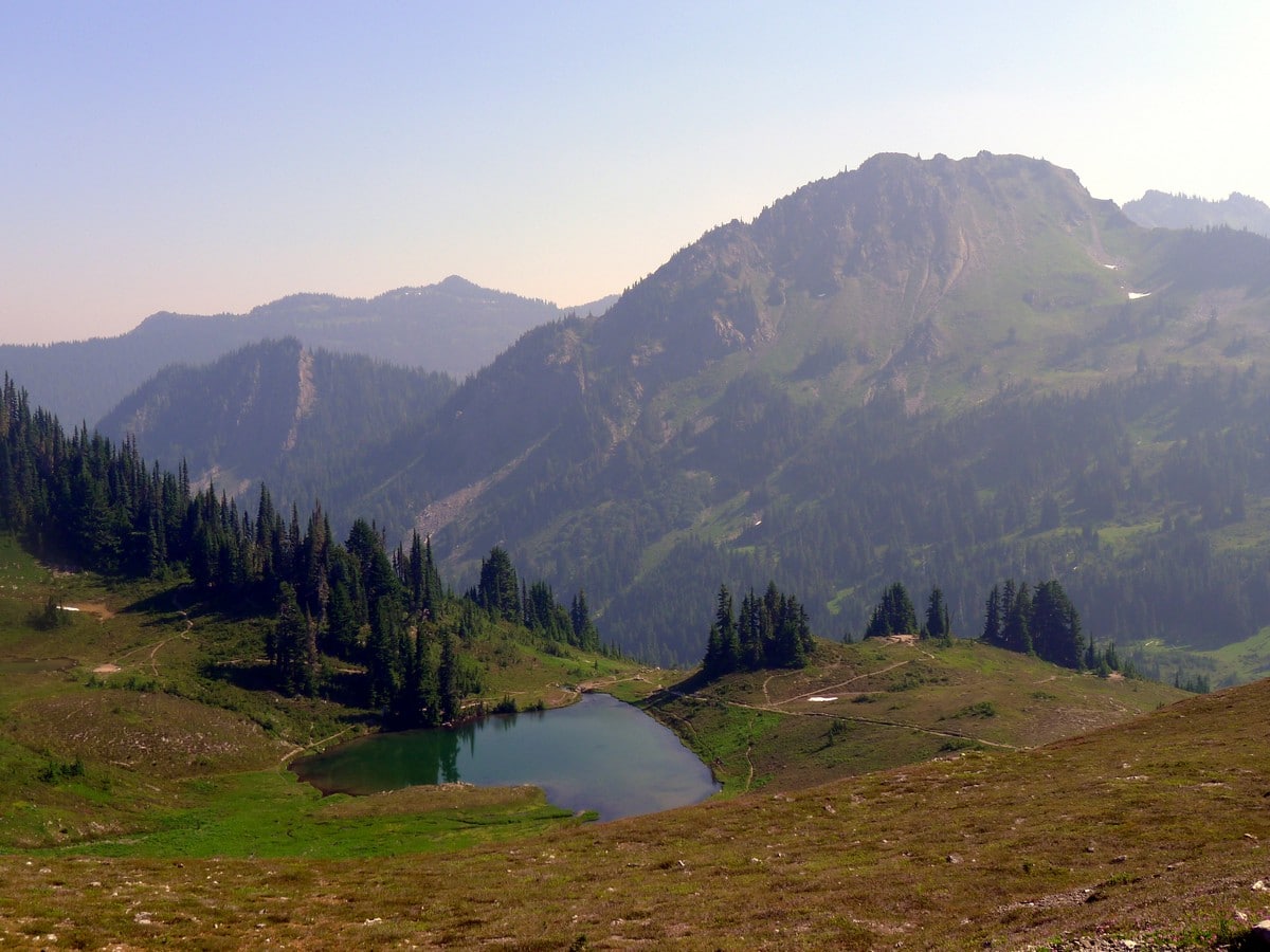
Enjoy these views for a while. As you continue climbing, you will eventually pass Heart Lake and its associated campground. Past Heart Lake you will climb to a small col where you will reach another junction, this time with the High Divide Trail. Head west.
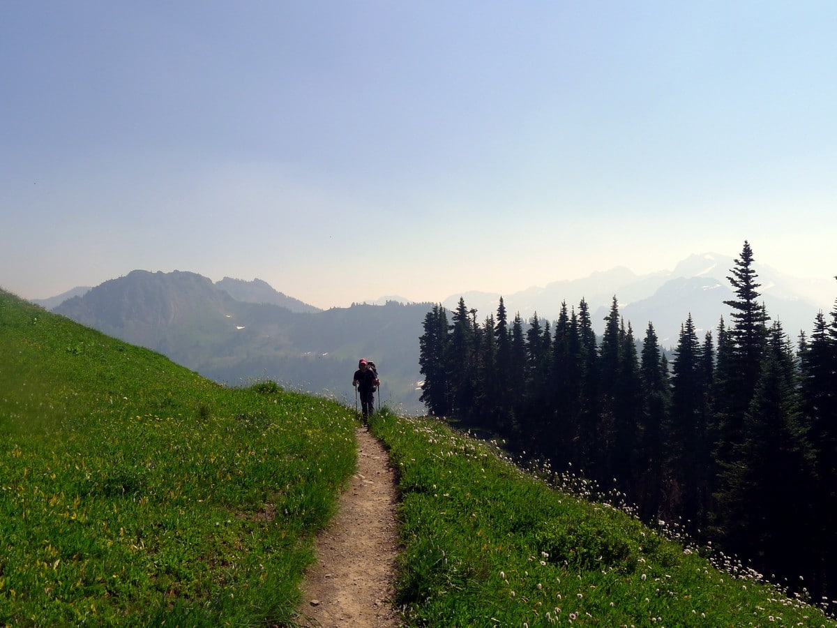
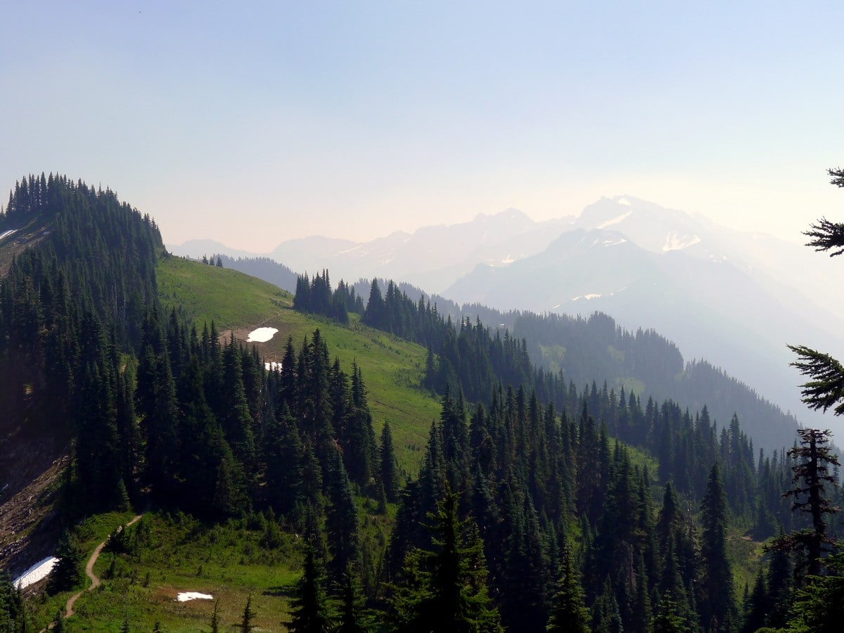
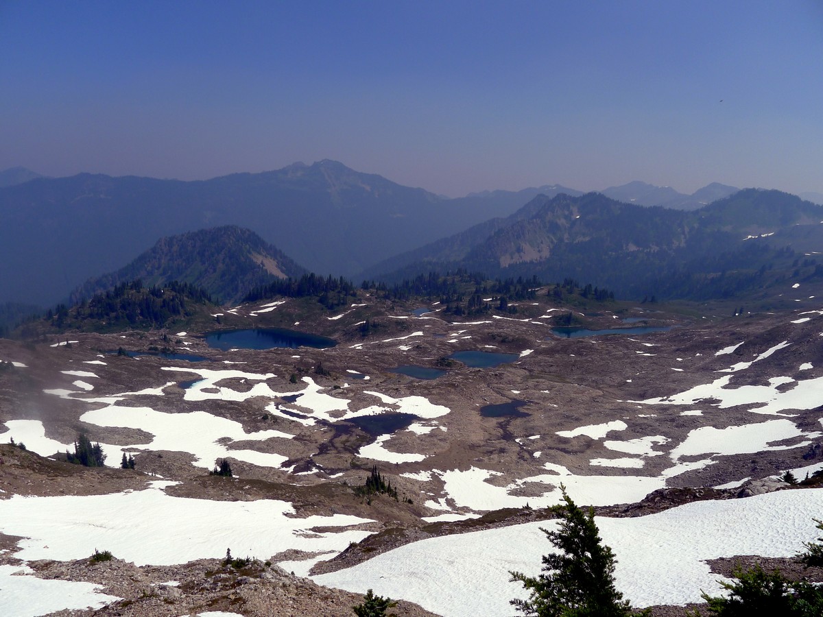
The next few miles of the trail are the best of the hike. Looking back along the ridge you will see Cat Peak, Mt Carrie and Mt Fairchild looming over you. Intermittently you will get views to the south of Mt Olympus and Mt Tom. The humongous Blue Glacier on Mt Olympus is visible from the ridge!
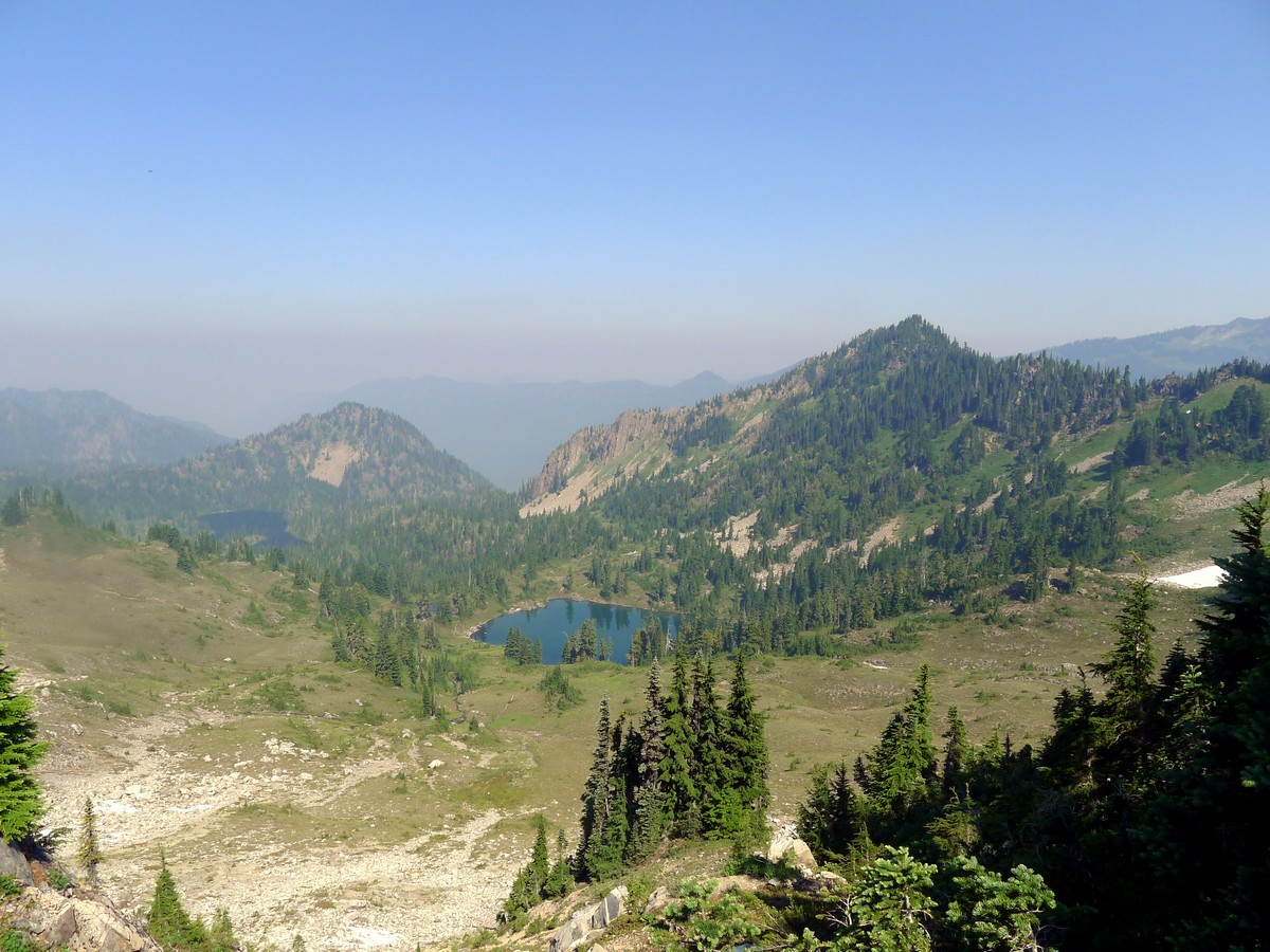
As you continue along the ridge you will undulate up and down, but you will never have any sustained climbing. You will pass under Bogachiel Peak as you start to trend downwards. Looking down to the right (north) you will look into the absolutely stunning Seven Lakes Basin. Don’t go down to the Seven Lakes Basin, or down to the Hoe River Trail. Follow signs for the High Divide Trail heading towards Deer Lake.
You will soon begin to switchback downhill and re-enter the forest. A short ways on you will pass around the popular Deer Lake. Then you will walk through the final few miles down back down to the Y junction you originally turned left at. Just before the junction, however, you will pass the incredible Sol Duc Falls, a three for one waterfall!
Once you reach the junction keep left to head back towards the parking lot. Force your tired legs back the final kilometre to your car.
Check out more amazing hikes in the Olympic National Park, like the Hoh River Trail, Ozette Triangle or the Obstruction Point hike.
Insider Hints
This is an extremely popular one or two-night backpack.
Water is very scarce on the High Divide itself. Fill up before or at Heart Lake to ensure you don't run dry on the ridge, but remember to bring some way to treat the water. Or, just bring a very big camelpack!
Similar hikes to the High Divide Loop hike
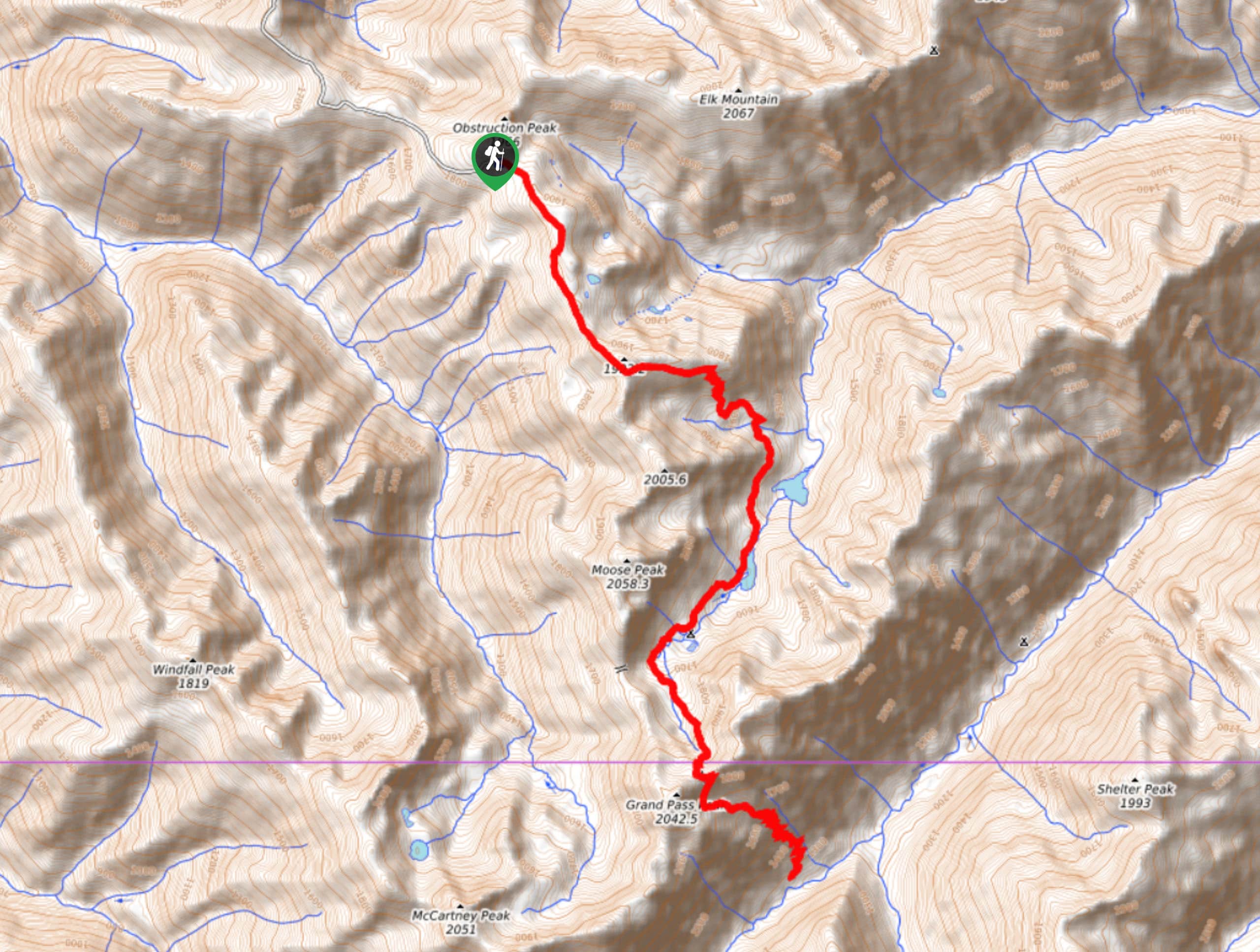
Grand Pass Trail
Grand Pass Trail is a beast of a day hike, with over 13.7mi to cover across varied, steep…
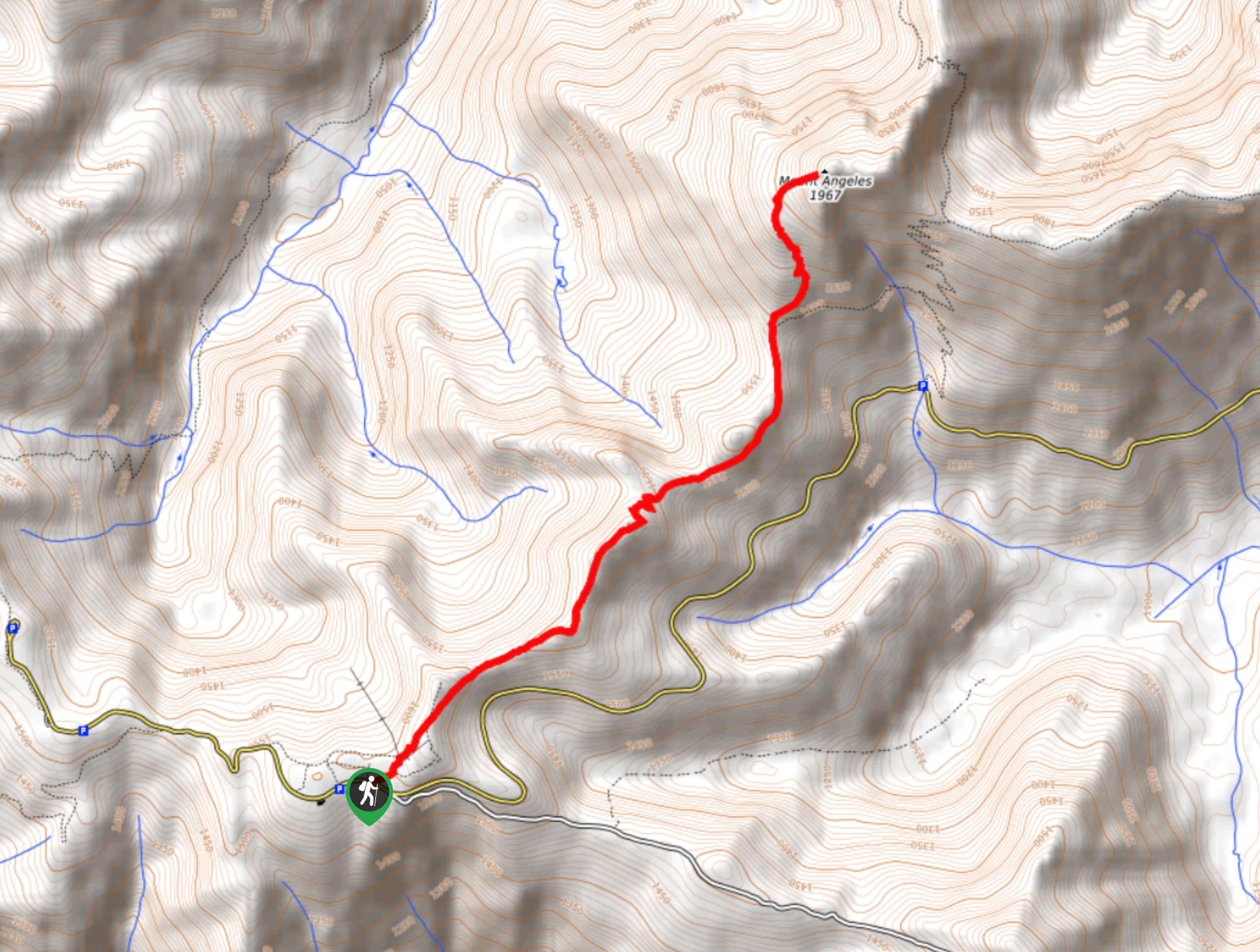
Mount Angeles via Sunrise Ridge Trail
Mount Angeles via Sunrise Ridge Trail is a challenging hike that starts out more forgiving before ending with a demanding…

Heather Park and Mount Angeles via Lake Angeles Trail
Heather Park and Mount Angeles via Lake Angeles Trail is a 15.8mi




Abra Pepel 4 years ago
So many wonderful attractions along the way. It's not about the destination, it's about the journey for this hike!!
Lambert O 4 years ago
View is spectacular after passing Deer Lake. Lots of majestic views.
Tara Green 4 years ago
This is an amazing hike! beauty everywhere. The best views are between deer lake and heart lake.
Tom Pack. 4 years ago
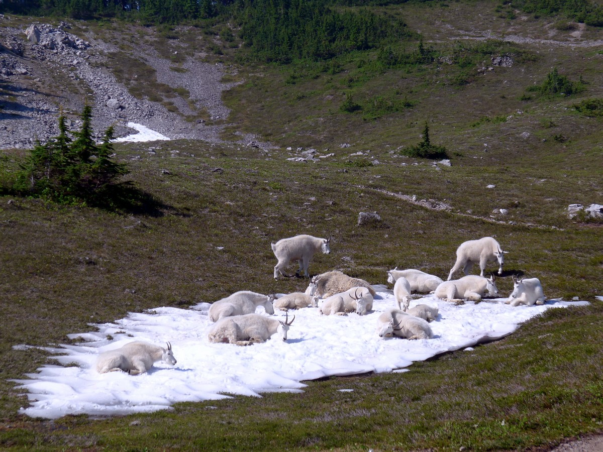
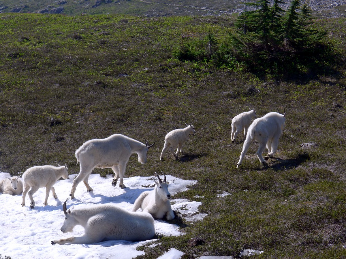
This trail was a little bit of a surprise for us. outstanding views and cool wildlife
Sidney M. 5 years ago
Demanding hike that would suck all your energy. Bring lots of water and snacks.
P. Parker 5 years ago
A winding mountain trail that features beautiful ridgeline views, I found the hike long but not at all challenging.
Felipe III 5 years ago
Bring lots of water and snacks to recharge your energy. The ascent was difficult enough for me to sweat a lot. It was hard but definitely rewarding.
Seymor H. 5 years ago
We had a difficult time climbing up. Trails were very steep, and it was exhausting. Hiking poles would help a lot.
Jordan Cohen 5 years ago
Wonderful! If you're feeling adventurous you should definitely do this hike!
Eliza Mendez 5 years ago
Stunning views at the summit. One good hike with a steady increase of elevation.