

Flume Road Trail
View PhotosFlume Road Trail
Difficulty Rating:
If you’re on the hunt for a waterfall hike (chasing waterfalls, if you will), try the Flume Road Trail. This hike is 9.0mi long and on the easier side of moderate, making it great for a longer leg stretch without too much elevation gain needed at any point. The waterfalls are beautiful, especially if it has rained recently. Expect moderate traffic on this route.
Getting there
The trailhead for the Flume Road Trail is on FR 708.
About
| Backcountry Campground | No |
| When to do | Year-round |
| Pets allowed | Yes - On Leash |
| Family friendly | Older Children only |
| Route Signage | Average |
| Crowd Levels | Moderate |
| Route Type | Out and back |
Flume Road Trail
Elevation Graph
Weather
Flume Road Trail Description
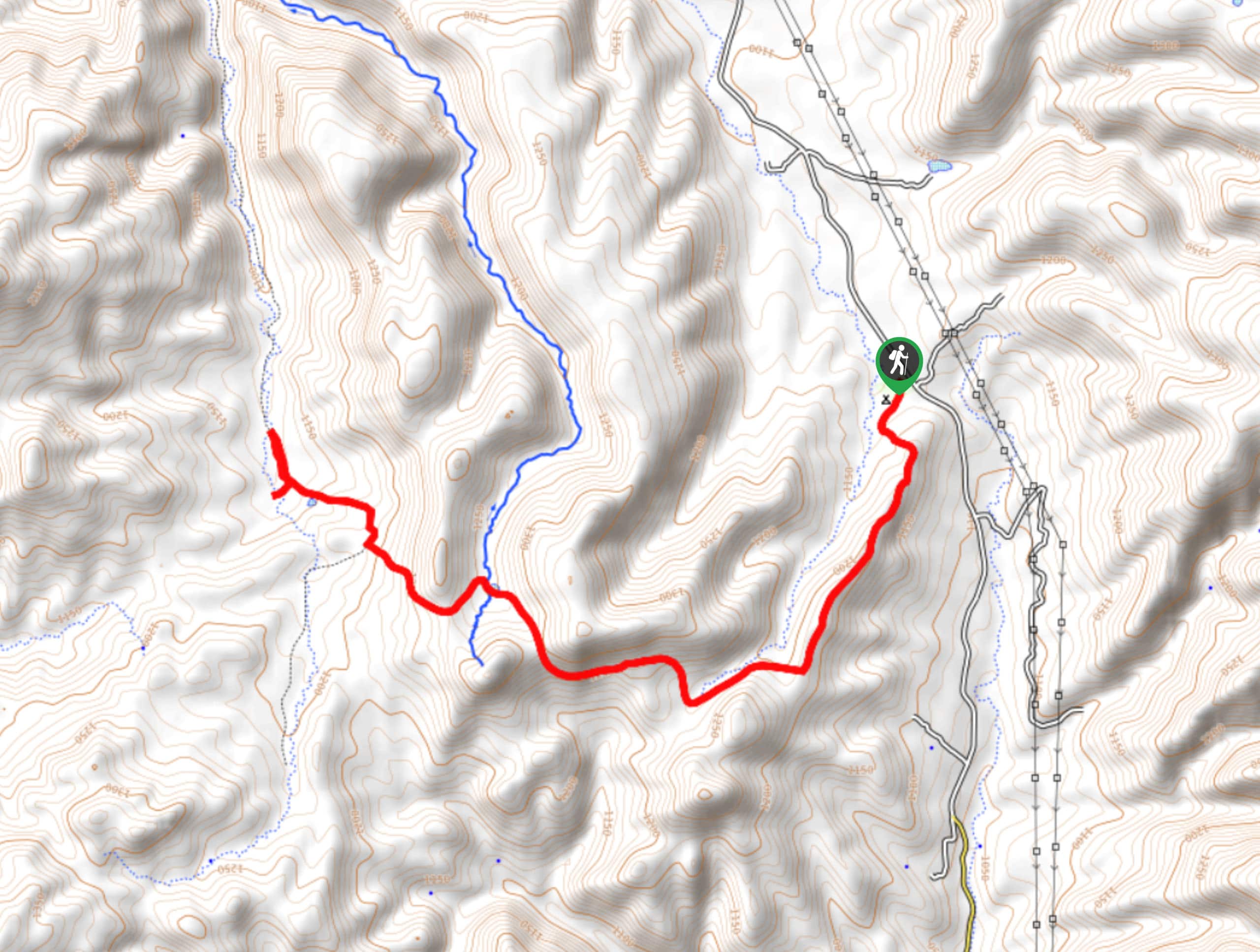
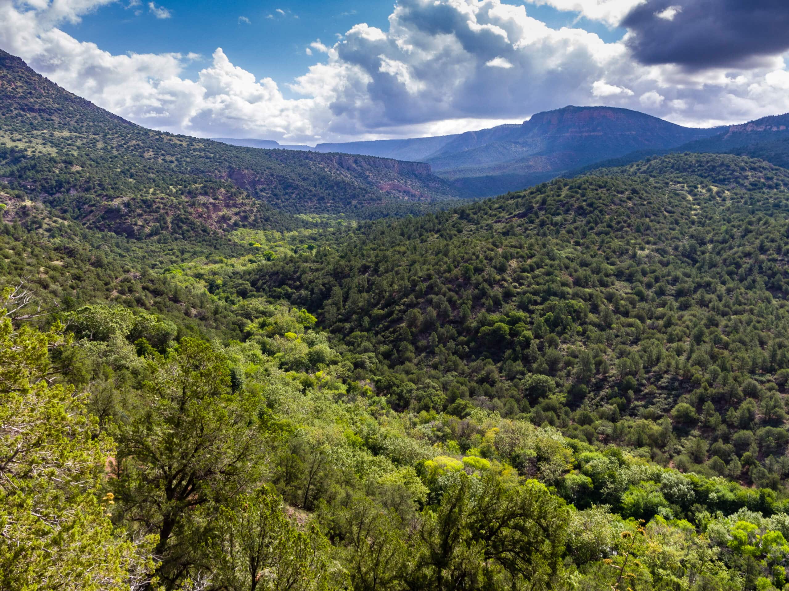
If you’re in the mood for a waterfall hike, hit the Flume Road Trail. This 9.0mi moderate route hugs the base of a mesa to a waterfall on Fossil Creek. The falls are quite beautiful, especially if it’s rained recently. This hike is a little longer but it spreads out the elevation gain nicely, making it a good choice for strong beginners and active families.
There is no water access until the second half of this hike and there is no shade. Bring lots of water, especially if you’re planning to visit on a hot day. You’re going to want plenty to drink!
From the trailhead, take Flume Road Trail as it first climbs directly up the mesa before levelling out to traverse northeast. You’ll hug the hill as it follows the curves of Fossil Creek. At the waterfall, snap some photos and enjoy the views before turning back and retracing your steps to the trailhead.
Similar hikes to the Flume Road Trail hike

Jacob’s Crosscut Trail
Jacob’s Crosscut Trail is an important route in the network of trails in Lost Dutchman State Park. This route is…

Bronco Trail
The Bronco Trail is a 7.9mi out and back route used for hiking and horseback riding. This trail…

Pine Canyon Trail Loop
The Pine Canyon Trail Loop in Pine, Arizona is a quick 2.7mi loop that is rated as easy.…


Comments